Alert
Alerts
Roc de Nantbellet hike


IGN cards


Description
The hamlet of Nanbellet lies in the district of Saint-Ferréol. Its name is a combination of the words Nant, which means stream, and the family name Bellet, which is a diminutive of beau or beautiful.
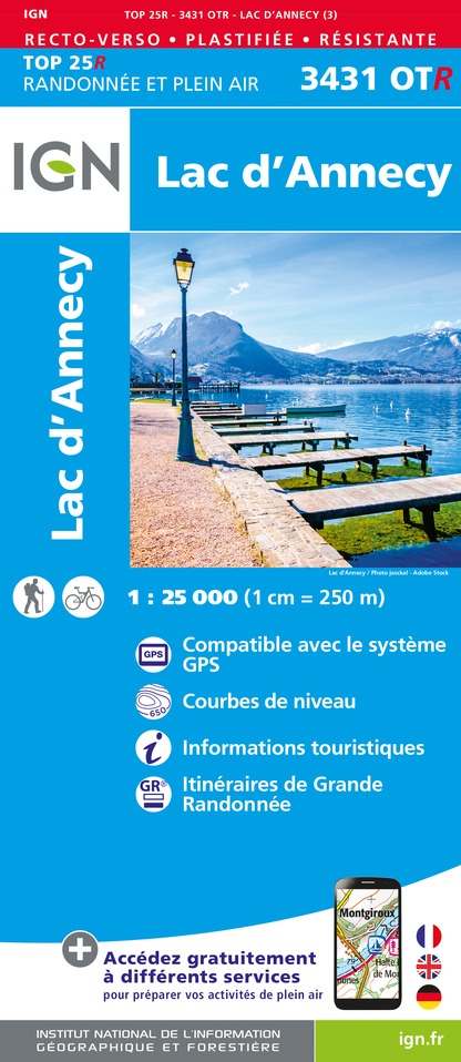
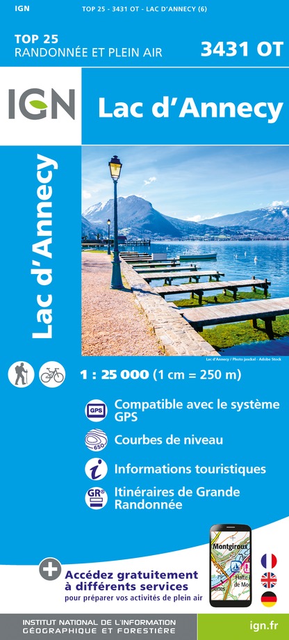
The name nicely captures the forest charm of this riverside walk, which provides numerous views of the southern part of the Bornes/Aravis mountains and of Mont Blanc. Take the time to visit this charming little hamlet and the chapel of Notre Dame de Grâce. From the car park, head right and go down the wide track to the hamlet of Nanbellet. Type of itinerary : circuit. Maps: IGN Top 25 n° 3431 OT Lac d’Annecy.
Technical Information
Altimetric profile
Starting point
Date and time
- From 15/05/2026 to 01/12/2026
Additional information
Open period
From 15/05 to 01/12.
Subject to favorable snow and weather conditions.
Tips
Take time to visit this charming little hamlet and its Chapelle de Notre Dame de Grâce.
Updated by
Conseil Départemental de la Haute-Savoie - 15/09/2025
www.hautesavoiexperience.fr
Report a problem
Environments
Mountain view
Mountain location
Contact
Phone : 04 50 44 60 24
Email : accueil@sources-lac-annecy.com
Website :
http://www.hautesavoiexperience.fr/decouvrir/randonnee-balade/103-roc-de-nanbellet
http://www.sources-lac-annecy.com
Type of land
Not suitable for strollers
Location complements
Annecy – Col de l’Epine: 37 km. From Annecy, follow the N508 towards Faverges/Ugine. Go through Sevrier, Saint Jorioz, Duingt and Doussard, and then follow signs to the Col de l'Epine. Just before the Col, turn left towards “La Côte de Marlens” and park beside the telephone pylon.
Topo guides and map references
Map references :
TOP 25 IGN 3431OT
Reception complements
Whatever your hike, remember to pack cereal bars, plenty of water, sunglasses, sunscreen, a small first-aid kit, and clothing appropriate to the season and weather forecast.
Guidebook with maps/step-by-step
1/ From the parking lot, follow the signs for "Roc de Nantbellet direct". You will pass through "Le Nantbellet" before reaching the Roc.
2/ From "Roc de Nantbellet" retrace your steps to reach "Nantbellet", then follow the signs for "La Frasse des Combes (Parking) par Guillon". You will pass the following signposts: "Goret", "Guillon (Ruines)", "Les Savioz" and "La Côte de Marlens" before reaching your starting point.
Animals
Yes. Pets allowed on leash only
Data author
