Alert
Alerts
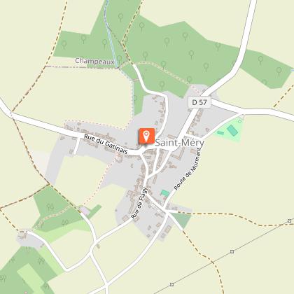
Walk from Saint-Méry to Blandy-les-Tours


Description
Cultural and natural heritage combine to offer an enjoyable walk from Saint-Méry to Blandy-les-Tours.
The walk, step by step…
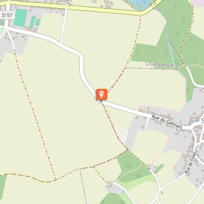
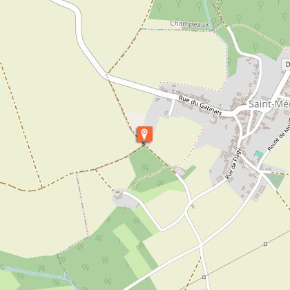
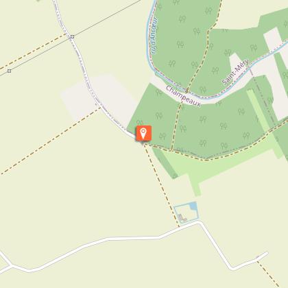
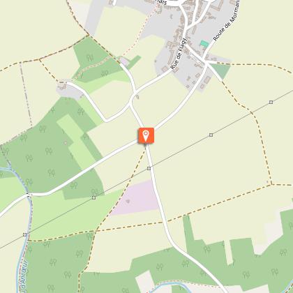
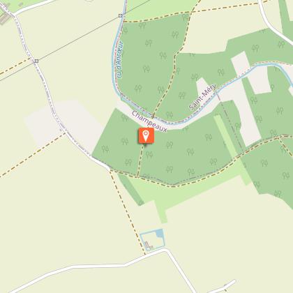
1. You are in front of Saint-Médéric church and the charming town hall. Head right onto Rue du Moulin des Voies. At the end of the street turn left, follow the bucolic Pisserote path for about 600 meters. The walk begins by crossing a wetland area by a wooden footbridge, then continues across the stream Ru de la Prée. Before climbing alongside the old dry-stone walls, take time to enjoy the beautiful countryside views of the church and surrounding houses. Along the way, you will also enjoy views of the collegiate church of Champeaux and the wooded, rolling landscape of the stream Ru de la Prée. At the end of the path, turn right onto Rue du Gâtinais (RD57).
2. Turn left onto a dirt path crossing the plains.
3. Turn right on the path and continue your hike along the GR1.
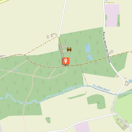
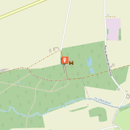
4. Turn right and follow the paved road, which runs alongside the park wall of the castle of Aunoy. Pass in front of the castle (private property). At the end of the path, turn left and continue following the GR1 trail.
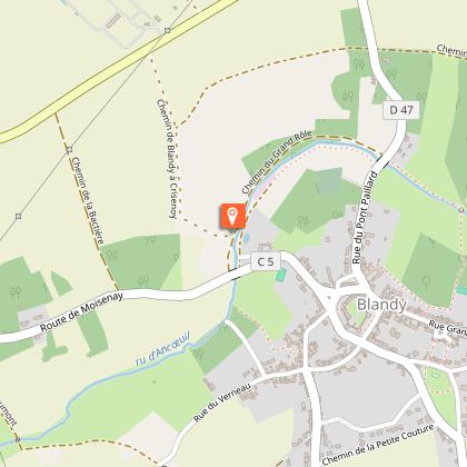
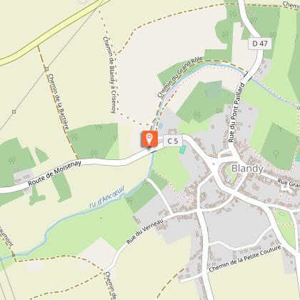
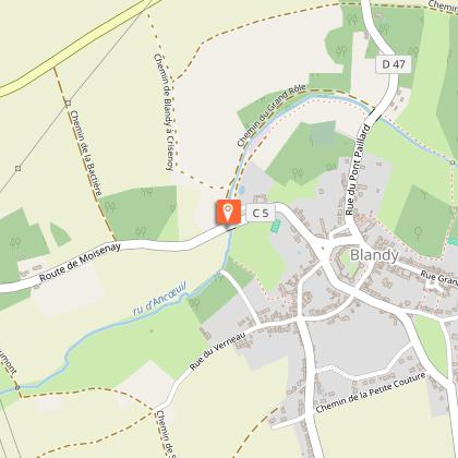
5. Turn right towards Blandy-les-Tours. On your left, follow the stream Ru d’Ancœur for a few meters until you reach the bridge on Rue du Moulin.
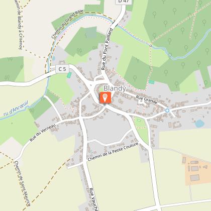
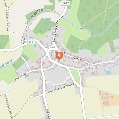
6. Turn left to cross the Moulin bridge and continue up the same street towards the village. In the distance you can see the church bell tower and the castle towers. You arrive in the main square of the village, in front of the medieval castle. Take a break to visit the castle and enjoy the exceptional panoramic views from the ramparts. Walk around the castle on the left.
7. On the left take Rue Saint-Martin then the Route de Châtillon (GR1) and Chemin des Frileux. Turn left.
8. Turn right on the path through the woods and after a few meters immediately turn left again and pass in front of the Chapel of Notre-Dame-de-Roïblay. Cross the Ru d'Ancoeur stream.
9. Leave the path, then turn left and immediately right onto Route des Vallées. Turn left onto Rue des Mortiers, then right onto Rue du Jeu de Paume, right again onto Rue de Mongimont, and finally left onto Rue de la Grange aux Dîmes.
Municipalities crossed : Saint-Méry, Champeaux and Blandy-les-Tours
Distance : 12,4 km – Duration : 3h30 - Unmarked trail
Access to the map : www.cirkwi.com/fr/circuit/175757-balade-de-saint-mery-a-blandy-les-tours
Technical Information
Altimetric profile
Starting point
Points of interest


Additional information
Environments
In the country
Updated by
Communauté de Communes Brie des Rivières et Châteaux - 30/06/2026
www.briedesrivieresetchateaux.fr
Report a problem
Open period
All year round daily.
Contact
Phone : 01 64 38 72 94
Email : mairie@saintmery.fr
Website : https://www.intramuros.org/saintmery
Data author

The Cirkwi brief
Imagine stepping into a canvas painted with the vibrant colors of nature, dotted with historical gems that tell tales of the past. This is what awaits you on the scenic walk from Saint-Méry to Blandy-les-Tours. Offered by the Communauté de Communes Brie des Rivières et Châteaux, this 12 km journey is a seamless blend of natural beauty and cultural heritage. As you traverse through quaint villages, expansive plains, and wooded paths, each step promises a new discovery. The route is a testament to the rich tapestry of landscapes and history that characterizes this enchanting part of France, making it a must-experience adventure for every wanderlust soul.
Essential Trail Insights
The walking route extends over a distance of 12 km or approximately 11.6 kilometers, with an altitude fluctuation ranging from 63 meters at its lowest point to 100 meters at its highest. The positive elevation change along the path is about 97 to 98 meters. Despite the lack of marked trails, the intuitive flow of the landscape guides the way. This journey, architectured by the Communauté de Communes Brie des Rivières et Châteaux, unfolds across the captivating terrains of Saint-Méry and Blandy-les-Tours, challenging and enchanting with its physical and visual diversity.
Time-Tested Travel Tips
Embarking on this idyllic walk, it's wise to prepare for the journey through the seasons. Spring and autumn showcase the landscape in its most vibrant colors and moderate climate, making them the ideal times for your adventure. Ensure to wear comfortable walking shoes, as the varied terrain demands sturdy support. Carrying water and sunscreen is essential, regardless of the season. In summer, early mornings or late afternoons are preferable to avoid the midday heat. Winters, while stark, offer a serene beauty; however, caution is advised due to potential slippery paths.
A Journey Through History
The walk from Saint-Méry to Blandy-les-Tours is more than a physical journey; it's a voyage through time. Saint-Méry, with its quaint village charm and historical roots, sets the stage for an exploration into France's rich cultural tapestry. As you move towards Blandy-les-Tours, the striking medieval castle stands as a monument to the area's storied past. The region, nestled within the broader narratives of the Brie des Rivières et Châteaux, provides a unique glimpse into the living history and enduring spirit of France’s countryside.
Climate Guide for Travelers
The regional climate here melds Oceanic and Continental influences, resulting in mild to warm summers and cool winters. Rainfall is distributed throughout the year, though spring and autumn often enjoy more consistently pleasant weather -- ideal for walking. The best months for embarking on this scenic route are from late April to October, when the weather conditions are most favorable. This period avoids the extremities of winter chill and summer heat, offering walkers the most comfortable and visually rewarding experience.