Alert
Alerts
Walk in Moisenay
Description
Located in the Val d’Ancœur, bordering the Château de Vaux-le-Vicomte and close to Blandy-les-Tours, the charming village of Moisenay has preserved its rural character.
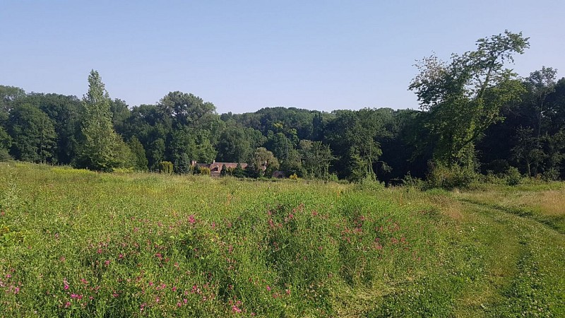
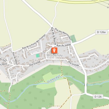
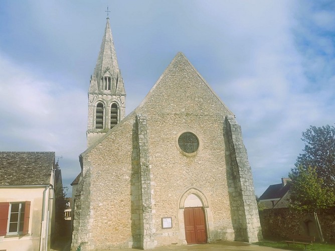
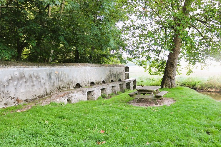
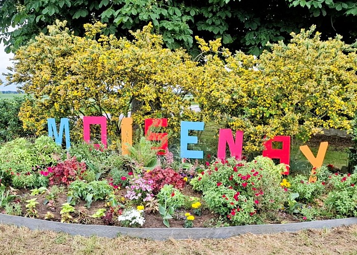
Succumb to the charm of Moisenay and the hamlet of Petit Moisenay ! Close to exceptional historical sites and set in a bucolic valley, this route allows you to discover rural landscapes and rich heritage: a 12th–13th-century church, old mills, washhouses, fords, and stone bridges. In summer, large trees, wildflowers, and shaded spots invite relaxation and daydreaming in the open air.
The route, step by step …
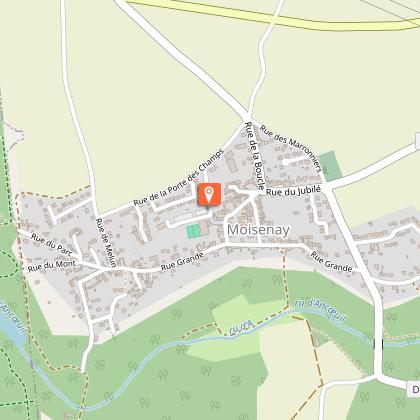
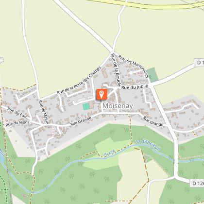
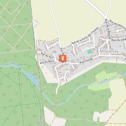
1. The village walk starts at the sports complex parking area. Go around the old barn and enter the alley at the corner of Rue de la Grange.
2. At the end of the alley, turn right onto Rue de l’École. At the end of this street, turn right onto Rue Grande. Follow it.
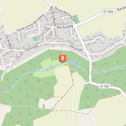
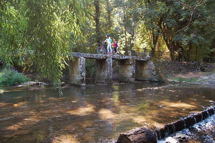
3. Continue along Rue du Moulin. You can admire the bridge and the ford of the Moulin de Pouilly. Cross the bridge and follow the path up to the field.
4. Once at the edge of the field, continue straight along the rural path. At a crossroads, turn left. Continue along this path. You will pass through a small woodland. At the second crossroads, continue straight through the middle of the fields until you reach the road. Then turn left onto the dirt path.
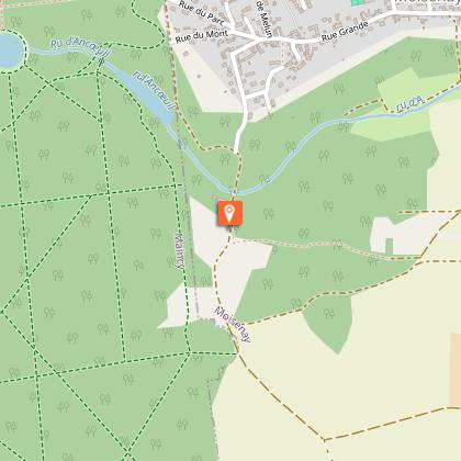
5. You arrive in front of the ford and the Iron Bridge. Cross the Iron Bridge and go up Saint-Martin alley, then turn left onto Rue Grande. Immediately turn right into Rue de l’Enfer.
6. The Saint-Martin Church appears on your left, behind you, on Rue de l’Enfer. On the left, follow the small path along the church. Go up to the church square towards Rue de l’École. Turn left onto this street, then immediately right into the alley that will bring you back to your starting point.
Municipality crossed : Moisenay
Distance : 3.3 km – Duration : 1 hr – Unmarked trail
Access to the map : www.cirkwi.com/fr/circuit/175740-balade-a-moisenay
Technical Information
Altimetric profile
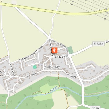
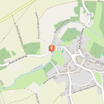
Starting point
Points of interest

Additional information
Environments
In the country
Updated by
Communauté de Communes Brie des Rivières et Châteaux - 20/07/2026
www.briedesrivieresetchateaux.fr
Report a problem
Open period
All year round daily.
Contact
Phone : 01 64 81 21 00
Email : mairie@moisenay.fr
Website : https://www.mairie-moisenay.com/
Facebook : https://www.facebook.com/Commune-de-Moisenay-102924984859744/
Data author

The Cirkwi brief
Imagine wandering through a quaint village nestled within the serene Val d’Ancœur, adjacent to the majestic Chateau de Vaux-le-Vicomte and in the vicinity of Blandy-les-Tours. This is Moisenay, a village that has brilliantly preserved its rural essence, offering a chance to dive into the heart of a bucolic valley. Crafted by the Communauté de Communes Brie des Rivières et Châteaux, this itinerary invites you to explore the stunning countryside, historical bridges, ancient mills, and a rich heritage encapsulated within the 12th and 13th-century architecture of Église Saint-Martin. A blend of historical grandeur and natural beauty awaits to inspire your senses.
Essential Itinerary Insights
Covering a distance of 3.3 kilometers with a modest elevation range between 53 to 86 meters, this walk is accessible to enthusiasts of all levels. Notably, the route commences and concludes at the parking area of the sports complex, ensuring convenience for visitors. The path meanders through the village, crossing historical landmarks such as the Moulin de Pouilly and the Pont de Fer, without rigorous climbs, making it an ideal choice for a leisurely exploration. It is unmarked, urging adventurers to carry a map or use digital navigation aids for a seamless experience.
Seasonal Tips for Explorers
No matter the season, Moisenay offers a captivating experience. Spring and autumn, with their mild weather, are perfect for appreciating the blooming flora and the crisp, golden hues of the leaves. In summer, the shade provided by towering trees offers a respite from the warmth, making it an ideal time for leisure seekers. However, as the trail includes traversing fields and woodland, suitable footwear is essential throughout the year to navigate the terrain comfortably. Always check weather forecasts in advance to avoid unexpected conditions and ensure a delightful visit.
Moisenay: A Cultural and Historical Gem
Moisenay, nestled within the Île-de-France region, stands as a testament to French rural heritage and history. From its foundations, it has witnessed centuries of cultural evolution, with the Église Saint-Martin symbolizing the architectural prowess and spiritual life of the Middle Ages in Seine-et-Marne. This village, situated near pivotal historical sites like the Chateau de Vaux-le-Vicomte, serves as a living museum, inviting explorers to step back in time and experience the rich tapestry of French countryside culture, its people, and their connection with the land.
Clime Guide for Moisenay Visitors
Basking in a temperate climate, Moisenay enjoys distinct seasons each offering unique charms for the visitor. The region's weather is typically mild with warm summers and cool winters, making spring through autumn the ideal times for outdoor pursuits. To fully savor the verdant landscapes and historical sites, considering a visit between April and October is advisable. During these months, the weather conditions are most conducive for walking, ensuring a comfortable and enriching outdoor adventure in Moisenay.