Alert
Alerts
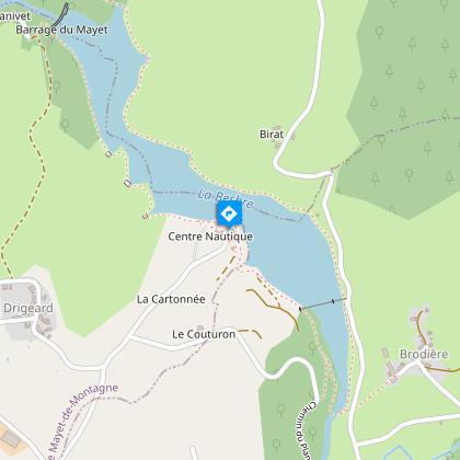
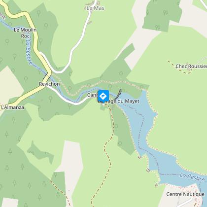
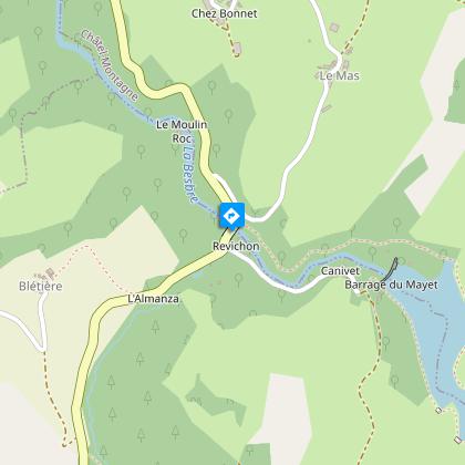
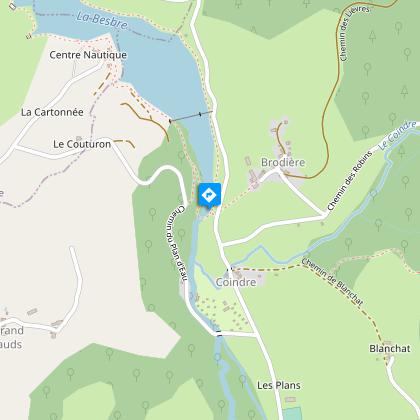
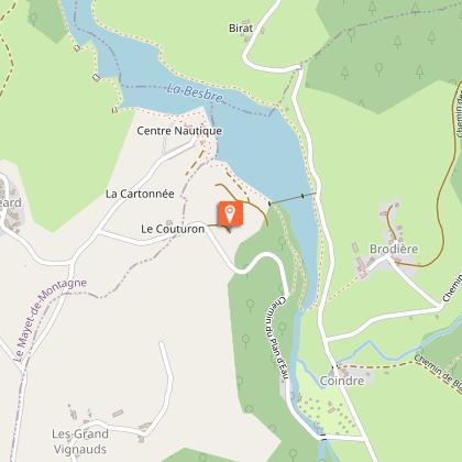
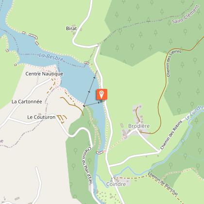
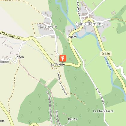
Le Plan d'eau de Saint-Clément - PR n°34
Description
This easy route, ideal for families, is partially accessible to people with reduced mobility.
The 27-hectare Plan d'Eau de Saint-Clément nestles in the heart of the Besbre valley, on the borders of the communes of Châtel-Montagne, Saint-Clément and Le Mayet-de-Montagne.
Technical Information
Altimetric profile
Starting point
Steps
Points of interest

Additional information
Environments
Lakeside or by stretch of water
Overview on river
Close to GR footpath
Forest location
Waterside
Lake view
In the country
Updated by
Vichy Destinations - 24/04/2026
www.vichymonamour.fr
Open period
All year round daily.
Contact
Phone : 04 70 59 38 40
Email : contact@vichydestinations.fr
Website : http://www.vichymonamour.fr
Type of land
Rock
Stone
Ground
Grit
Suitable for all terrain strollers
Not suitable for strollers
Animals
Yes
Data author
