Alert
Alerts
Cascade de Talloires hike
Description
A lovely walk mostly through the trees, perfect for a hot summer's day. Water is a constant theme, as you discover the waterfall, the bubbling "giants' cooking pots" and the views overlooking Lac d'Annecy.
This family hike takes you to one of the many natural sites to discover around Lake Annecy: the Cascade d'Angon.
Walkers of all ages can enjoy the pleasant experience of cooling off with droplets from the 60-metre-high waterfalls. The route follows the torrents coming directly from La Tournette, creating characteristic eddies as they carve through the rock on their way down.
These are the famous "Marmites de Géant" (Giant's potholes) which, like the bridge over the Nant d'Oy (Pont des Fées) supposedly built by fairies in the past, are sure to arouse the curiosity of little ones along the way.
For their part, the older children will be able to admire a number of beautiful viewpoints over the lake, La Tournette and the Dents de Lanfon.
Technical Information
Altimetric profile
Starting point
Additional information
Contact
Phone : 04 50 45 00 33
Email : info@lac-annecy.com
Website :
https://hautesavoiemontblanc-tourisme.com/
https://www.lac-annecy.com
Facebook : https://www.facebook.com/lacannecy.tourisme
Open period
From 15/05 to 15/10.
Subject to favorable snow and weather conditions.
Updated by
Conseil Départemental de la Haute-Savoie - 21/04/2026
hautesavoiemontblanc-tourisme.com/
Report a problem
Environments
Lakeside or by stretch of water
Lake view
Mountain view
Mountain location
Close to a public transportation
Bus stop < 500 m
Waterfall view
Type of land
Stone
Ground
Grit
Not suitable for strollers
Topo guides and map references
Map references :
TOP 25 IGN 3431OT
Location complements
Access (bus):
From Annecy, take SIBRA line 20 "Gare d'Annecy/Vignière - Talloires-Montmin", which serves Talloires.
Access (by car):
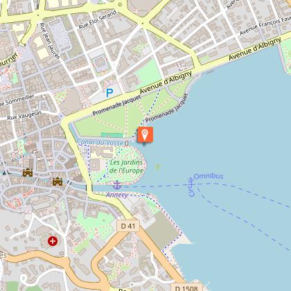
From Annecy, take the D909a towards Veyrier du lac, Talloires. At the entrance to Talloires, immediately after the traffic circle, park in the parking lot on the right, just after the school (large building).
Reception complements
Whatever your hike, remember to pack cereal bars, plenty of water, sunglasses, sunscreen, a small first-aid kit, and clothing suited to the season and weather forecast. Be careful on the last part of the path leading to the waterfall, as water splashes make it very slippery in places. Bring good shoes!
Tricky passages
Be careful on the last part of the path leading to the waterfall, as the water splashes make it very slippery in places. Bring good shoes!
Guidebook with maps/step-by-step
1/ From the "Talloires (Parking de l'école)" signpost, head for "Cascade d'Angon". Always follow this direction at the next intersections. You will pass through "Sur le Vivier", "Closettaz" and then "Croisement de la Cascade".
2/ At "Croisement de la Cascade", head for the Cascade d'Angon. After observing the waterfall, return to "Croisement de la Cascade" to continue the loop following the direction of "Pont des Fées". Continue in this direction, passing through "La Cornalle".
3/ At "Pont des Fées", continue towards "La Pirraz (Parking)" via Vérel. Follow the signs for "La Pirraz (Parking)", passing through "La Combe" and "Vérel".
4/ At "Vérel", continue the loop towards "Cascade d'Angon". Follow this direction through "La Closette", "La Cornalle" and "Croisement de la Cascade".
5/ Once you've returned to "Croisement de la Cascade", take the same route back to your starting point as on the outward journey.
Animals
Yes. Pets allowed on leash only.
Data author
