Alert
Alerts
Type of practice
Cycling
Easy
2h
Gravel
Easy
2h
Presentation
Map
Steps
Points of interest
Cirkwi brief's
Ratings and reviews
See around
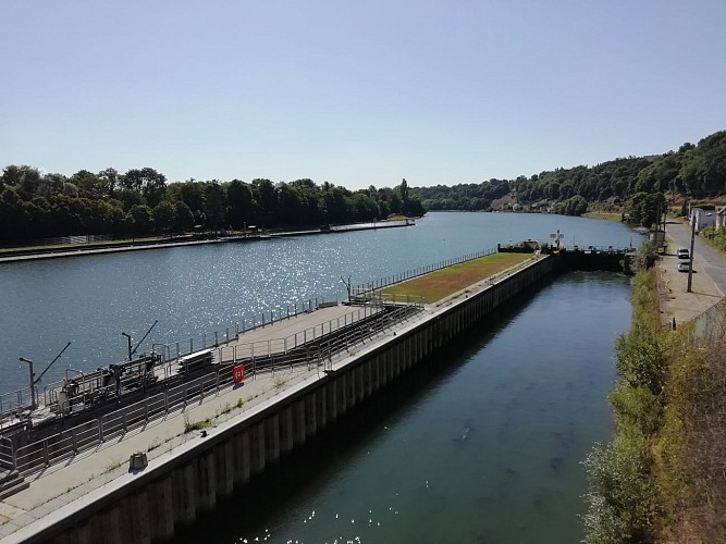
From the Seine to the forest of Rougeau


Credit : Essonne Tourisme/RS
The Cirkwi brief
Discover Corbeil-Essonnes: A Scenic Bike Journey
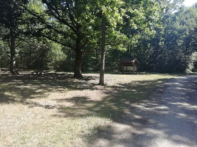
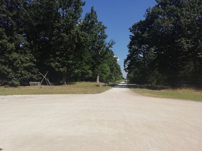
Proposed by Essonne Tourisme, this route offers an unparalleled chance to explore the natural and historical beauty southwest of Paris. Starting from the quaint Quai Maurice Riquiez in Corbeil-Essonnes, your journey will take you along the scenic banks of the Seine before steering you towards the serene expanse of the Rougeau forest and across the picturesque Brie plateau. Feel the breeze as you cycle through contrasting landscapes, from rippling waterways to dense woodlands, all while embracing a part of France's rich tapestry of nature and heritage. This trail promises to be a balm for the soul, a physical challenge, and a voyage back in time, all rolled into one.
Key Route Insights for Cyclists
This circuit spans approximately 16.1km, weaving through elevations ranging from 33 to 91 meters. Riders will face a cumulative positive elevation of around 49 meters, implying a moderately challenging terrain that varies as one progresses. The changeover at the Coudray-Montceaux lock marks a significant transition point from the riverine landscape to the forested and then to the plateau regions. The trail, ideal for bikes or VTC, has been laid out thoughtfully, ensuring a fulfilling ride whether you're looking to push your limits or simply enjoy a day out in the fresh air.
Seasonal Advice for Cyclists
Regardless of the season, this route is a gem, but every time of year has its peculiarities. In spring, the blossoming nature adds a vibrant touch, making it perfect for photography enthusiasts. Summers provide long daylight hours, ideal for leisurely rides, but do bring water and sunscreen. Autumn transforms the landscape into a palette of warm colors, though paths may be slippery with fallen leaves. Winters, while crisp and clear, demand caution for icy patches. Safety-wise, always wear helmets, ensure your bike is well-maintained, and remember that daylight conditions can significantly influence your experience.
Historical Echoes of Corbeil-Essonnes
Corbeil-Essonnes, situated at the confluence of the Seine and Essonne rivers, offers not just natural beauty but a rich historical tapestry that dates back to the Middle Ages. The trail starts from an area that has seen centuries of history unfold, including the notable Cloître Saint-Spire, a monument steeped in history since 1913. This region, part of the broader Île-de-France, sits at a crossroads of French cultural and economic development over the ages, revealing layers of France's past as cyclists move between riverbanks and forests, touching points of historical significance and scenic beauty alike.
Regional Weather Patterns and Best Times to Visit
The climate in Corbeil-Essonnes is temperate, with a nice spread of rainfall throughout the year, implying that there's rarely a bad time to explore this exquisite cycle route. However, the best months for cycling are generally from April to October, when the weather is most favorable - mild temperatures and lower chances of rain make for ideal cycling conditions. Spring and autumn offer the added beauty of natural transitioning, creating picturesque settings for your ride. Nonetheless, always check weather forecasts before setting off, as local conditions can fluctuate.
Automatically generated.
Technical Information
Cycling
Difficulty
Easy
Duration
2h
(1d)
Dist.
16 km
Type of practice
Cycling
Easy
2h
Gravel
Easy
2h
Show more
Altimetric profile
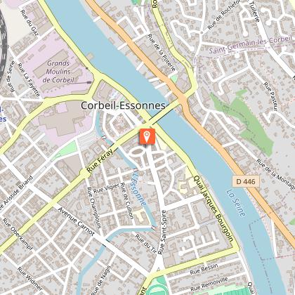
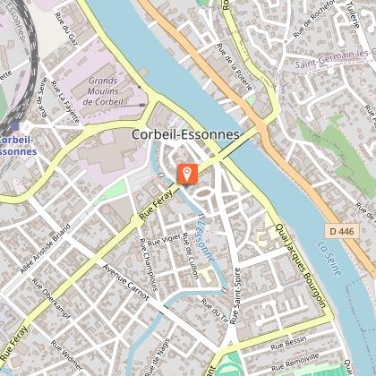
Starting point
9
Quai Maurice Riquiez
,
91100
Corbeil-Essonnes
Lat : 48.61228Lng : 2.48711
Steps
Points of interest

Data author

proposed by
Essonne Tourisme
19 rue des Mazières 91000 Evry-Courcouronnes France
Ratings and reviews
To see around