Alert
Alerts
The three Valleys


Description
Starting from the village of Saint-Izaire which holds a medieval red sandstone jewel, explore this route along the Dourdou, Tarn and Gos valleys and enjoy many spectacular views and a tremendous historic heritage.Take the road towards Faveyrolles up to the first intersection, then fork to the right on a dirt road for 800 m (scenic view over the village). Reach the disused "Le Graudenc" farm building, carry on towards the culminating point at the foot of a high-voltage tower, then walk down the Gos creek valley and enjoy an extensive scenic view over the distant horizon.After a steep slope between two fields, fork to the left at the intersection right by the small stone cross. Walk past dilapidated buildings and follow the track down to the valley. On the valley bottom, right at the intersection, take a hairpin bend to the right above the sandpit which can be seen 50 m further.Walk along the shady bank of the Tarn river and through the hamlet of Les Alverhnes. After a 300 m section of tarmac road, go down to the left and pass under the stone bridge of the former railway.Go to the left of the tunnel along the Dourdou river and carry straight on, leaving to the left a nice private bridge over the Dourdou river next to the hamlet of Janolles. Follow the river and pass under another bridge of the former railway, then get back to the tarmac road.Take to the left towards the Mas de Gascuel. Walk along the farm and take the gently sloping dirt road that leads you back to the village of Saint-Izaire.
Technical Information
Altimetric profile
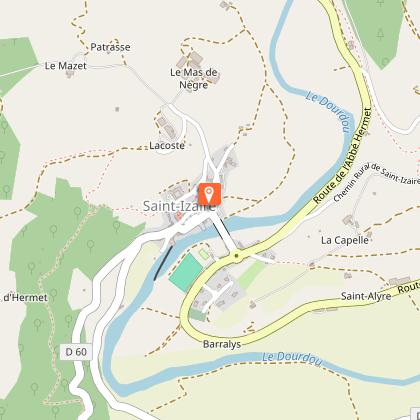
Starting point
Steps

Additional information
Public transport
Travel by bus or train: lio.laregion.fr/carpooling : BlaBlaCar, Rézo Pouce, Mobicoop, Idvroom, LaRoueVerte, Roulez malin
Advice
Box tree months are active from May to October. During the caterpillar phase, they feed on the leaves of box trees. They crawl down trees and move on long silken threads, although these threads are annoying when hiking they do not pose any health risk
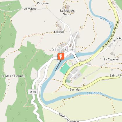
Advised parking
At the edge of the river Le Dourdou right after the bridge
Access
From Vabres-l’Abbaye, follow the D25 up to the village of St-Izaire.
Arrival
Village square in Saint-Izaire
Ambiance
In the middle of a red soil and wooded glen landscape, a whole architectural and industrial heritage awaits you: the castle of Saint-Izaire, an ancient sand pit, a former railway line and the hamlet of Janolles with its 16th century buildings. A hike located at the confluence of the Dourdou, Gos and Tarn rivers and during which times are intertwined.
Departure
Village square in Saint-Izaire
Data author
