Alert
Alerts
Type of practice
Walking
Very easy
1h50mn
Presentation
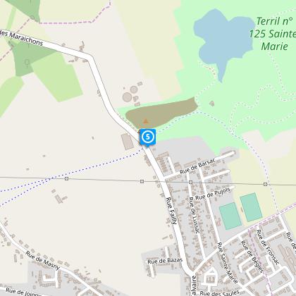
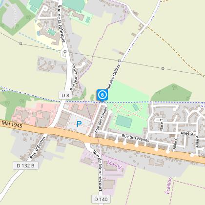
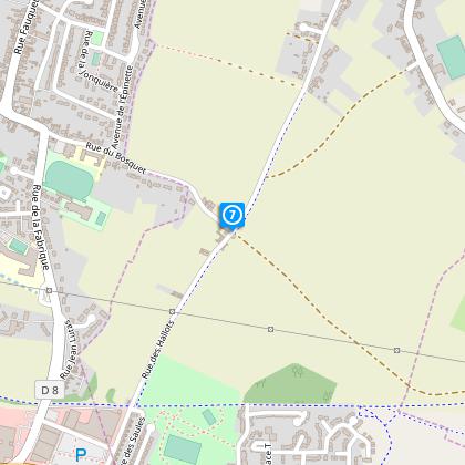
Map
Steps
Cirkwi brief's
Ratings and reviews
See around
Circuit of the Springs
The Cirkwi brief
Discover Écaillon's Historic Trails: Circuit des Sources
Offered by Nord Tourisme, the Circuit des Sources takes you on a journey through Écaillon, winding along quaint cobblestone pathways that date back to 1850, amidst landscapes occasionally dusted with nature’s own coatings of soil. The trails, traversing through this serene locale, invite you to a unique experience, especially during the humid seasons, where the fusion of earth and water creates uniquely muddied paths. This beautifully crafted itinerary, spanning roughly 10 km, embodies a blend of adventure and tranquility, making each step an invitation to both history and the serene whispers of nature. Nord Tourisme has curated an experience that not only connects you with the scenic beauty but also with the soulful embrace of Écaillon.
Technical Details Unveiled
This marked route covers a total distance of approximately 5.5 km, presenting a relaxed challenge with an altitude range between 23 and 31 meters. The minimal elevation gain of about 13 meters makes it accessible to enthusiasts of all levels. The terrain, mainly historical cobblestone laced with soil patches, can turn muddy in humid conditions. This route’s design by Nord Tourisme carefully considers these aspects, ensuring a balance between ease and engagement. A sensible completion time for this itinerary, considering the technical specifics, would be that of a leisurely half-day stroll, encapsulating the essence of Écaillon's landscape.
Seasonal Tips for Travellers
As you embark on the Circuit des Sources, remember that weather plays a crucial role in your journey. During the wet seasons, equip yourself with sturdy, waterproof footwear to navigate the muddy segments with ease. In dryer times, the trail reveals its cobblestone charm, offering a smoother experience. Regardless of the season, always carry water and a weather-appropriate jacket. Early mornings or late afternoons are ideal, providing a serene experience away from the midday sun. Respect the environment and local guidelines to ensure this trail remains a treasure for all who seek its beauty.
Écaillon: A Historical Overview
Écaillon, nestled within the Nord department, stands as a testament to the intricate weave of France’s industrial and rural heritage. The Circuit des Sources, with its cobblestone roads dating back to 1850, serves as a silent witness to the past, where every stone tells a story. This region, historically pivotal for its agricultural and later industrial developments, offers a unique perspective on the transformation over centuries. The pathway not only connects physical locations but also bridges the historical saga of Écaillon to the present, allowing every traveler a glimpse into the soul of this land.
Weather Insights and Best Visit Times
The climate of Écaillon is generally temperate, marked by mild summers and cool winters. Rain spreads evenly throughout the year, with occasional wet periods enhancing the rustic charm of the Circuit des Sources. To fully appreciate the journey through these historic paths, late spring through early autumn is the optimal visiting window. This period offers a delightful balance of temperate weather, minimal rainfall, and the full bloom of the region’s natural beauty. Always consult current weather forecasts before setting out, to ensure a harmonious experience with nature’s elements.
Automatically generated.
Technical Information
Walking
Difficulty
Very easy
Duration
1h50mn
Dist.
5.5 km
Type of practice
Walking
Very easy
1h50mn
Show more
Altimetric profile
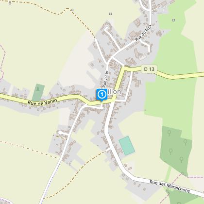
Starting point
Place du 8 mai 1945
,
ECAILLON
Lat : 50.3497949057Lng : 3.21556231461
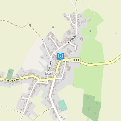
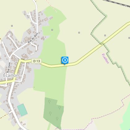
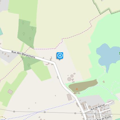
Steps
Data author

Ratings and reviews
To see around