Alert
Alerts
The Santoire valley
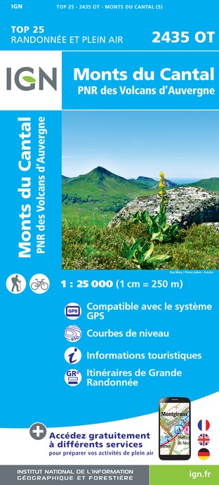
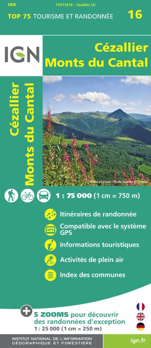
IGN cards


Description
Over 2 days this hike is a real wonder with the Lac du Pêcher, the Lac Sauvage and the Frau de Collanges. The Croix du Gendarme, the Limon plateau and the Laqueuille rock offer a view of the Monts du Cantal and the Santoire valley.
Technical Information
Altimetric profile
Starting point
Additional information
Updated by
Hautes Terres Tourisme - 24/11/2025
www.hautesterrestourisme.fr
Report a problem
Environments
Lakeside or by stretch of water
Forest location
Lake view
Mountain view
Lake 5 km away
Close to GR footpath
Waterside
Panoramic view
Tips
-For your safety, please check the weather forecast before setting off on your hike. -To preserve the environment in which you are located, please avoid leaving garbage in nature. -Remember to take the appropriate equipment for the weather conditions and the hiking itinerary (hiking boots, water bottle, cap, sunglasses, jacket...).
Open period
All year round.
Subject to favorable weather.
Contact
Phone : 04 71 20 09 47
Website : https://www.hautesterrestourisme.fr
Type of land
Stone
Ground
Hard coating (tar, cement, flooring)
Animals
No
Data author
