Alert
Alerts
Le Volcan Est
Description
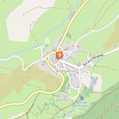
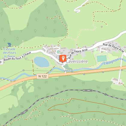
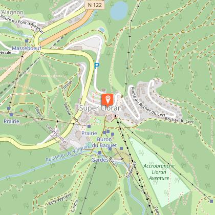
A very difficult, physical circuit with steep, technical climbs and descents. Possible departures from: Le Lioran, Col de Prat de Bouc, Albepierre, Laveissière. Itinerary suitable for VTTAE (black level: difficult).
Technical Information
Altimetric profile
Starting point

Additional information
Open period
All year round.
Subject to favorable snow and weather conditions.
Updated by
Hautes Terres Tourisme - 12/06/2025
www.hautesterrestourisme.fr
Report a problem
Contact
Phone : 04 71 49 50 08
Type of land
Stone
Ground
Hard coating (tar, cement, flooring)
Grit
Topo guides and map references
Topo guides references :
Fiche téléchargeable sur table numérique et imprimée dans les bureaux de tourisme de Hautes Terres Tourisme.
Tricky passages
Fairly steep and technical descent from Plomb du Cantal to Prat de Bouc: mixed mountain-bike-pedestrian trail and crossing of grazing areas. Respect pedestrians' right of way and watch out for herds.
Main climbs between Albepierre and Col de la Molède (+300m) and from Fraisse Haut to Le Lioran resort (300m).
Animals
No
Data author
