Alert
Alerts
Alagnon - Pinatelle
Description
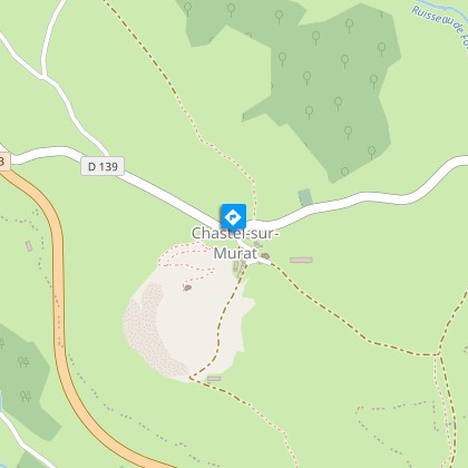
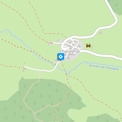
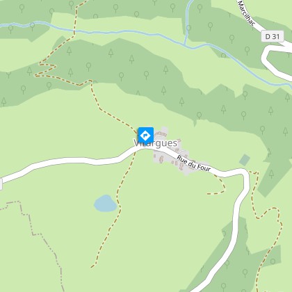
Difficult level circuit; interests: landscape and flora. Possible departures from: Chavagnac, Virargues or Murat. Itinerary suitable for VTTAE (red level: difficult).
Technical Information
Altimetric profile
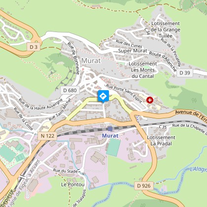
Starting point
Additional information
Updated by
Hautes Terres Tourisme - 12/06/2025
www.hautesterrestourisme.fr
Report a problem
Open period
All year round.
Subject to favorable weather.
Contact
Phone : 04 71 20 09 47
Type of land
Ground
Hard coating (tar, cement, flooring)
Topo guides and map references
Topo guides references :
Fiche téléchargeable sur table numérique et imprimée dans les bureaux de tourisme de Hautes Terres Tourisme.
Data author
