Alert
Alerts
Cézérat

Description
Une balade parfaite pour bien découvrir le Cézallier, ses grands espaces, ses traditions d'élevage, ses richesses architecturales et peut-être même sa faune sauvage alors ouvrez l'oeil !
Technical Information
Altimetric profile
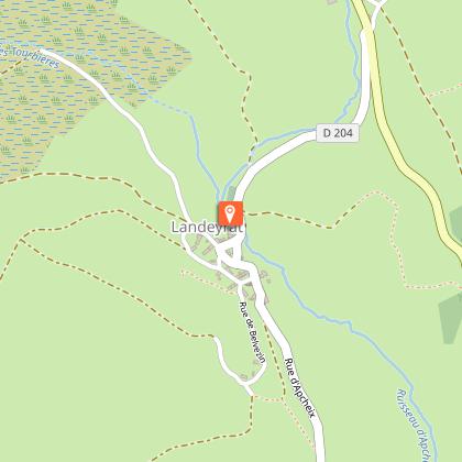
Starting point
Points of interest

Additional information
Updated by
Hautes Terres Tourisme - 24/11/2025
www.hautesterrestourisme.fr
Report a problem
Environments
In the country
Forest location
Mountain view
Village centre
Village 2 km away
Panoramic view
Tips
-For your safety, please check the weather forecast before setting off on your hike. -To preserve the environment in which you are located, please avoid leaving garbage in nature. -Remember to take the appropriate equipment for the weather conditions and the hiking itinerary (hiking boots, water bottle, cap, sunglasses, jacket...).
Open period
All year round daily.
Subject to favorable weather.
Type of land
Stone
Ground
Hard coating (tar, cement, flooring)
Contact
Phone : 04 71 20 48 43
Website : https://www.hautesterrestourisme.fr
Topo guides and map references
Topo guides references :
Fiche téléchargeable sur les tables numériques et site Internet de Hautes Terres Tourisme. Impression possible sur place pour 0.30€.
Guidebook with maps/step-by-step
Departure- Place du Cézallier. Go down rue de l'abbé de Pradt. At the fountain, turn right and cross the market square. Leave the listed church on your right and go down the stairs to the ramparts. Follow the fitness trail up to the right. Pass under the bridge.
1- Cross the Allanche on the footbridge on your left. Go up to the railroad. Cross it and walk along it on the left for 100 m before turning right. View of Allanche and Puy Mathonière.
2- 500m after passing the Roche Marchal buron, the track veers left.
3- Leave the track and take the path opposite, around the Roche-Grande hillock.
4- At the small road, turn left. Follow it to the end of the wood.
5- Leave the road and go right down into the plot. Follow the fence on your left.
6- Follow the track to the right, cross the Laneyrat stream and go up towards the hamlet.
7- Cross the D9 and take the track opposite. Follow the Chay woods on your left.
8- Cross a small road and take the track opposite.
9- Go down into Cézerat, cross the stream.
10- Start to climb, then take a track on the left.
11- At the intersection, take the track on the right.
12- As you enter the woods, turn left and follow the Maillargues pinatelle.
13- Go down towards the railroad line, leaving a track on your right.
14- Cross the tracks and follow the road to the left.
15- Cross the Allanche and then the D679. Return to Maillargues.
16- At a small square (oven, drinking trough, cross), take the D309 towards Puy Mathonière.
17- At 500m, take a left-hand track that goes straight ahead and then down to the Allanche.
18- In Allanche, turn right at the first-aid center, then left towards the Roman bridge. Before crossing it, turn left to go back under the ramparts and join the staircase you came down at the start.
Animals
No
Data author
