Alert
Alerts
From Montaigut to St Affrique


Description
Set off for the final leg of the path that runs throughout the pays du Roquefort.From the Montaigut castle walk up the road for approximately 200 m, then on a left-hand curve take right the rising track that leads towards the pass of the Croix del Pas. Notice the red soil which is typical of the Rougier. During your ascent, enjoy the scenic view over the castle, the Rougier de Camarès, the Monts de Lacaune. Once on the ridge, head towards the East and leave the descending trail to your right to reach the pass of the Croix del Pas.At the cross which marks the crossing from the Dourdou valley to the Sorgues valley, take the path that runs immediately downhill at a right angle to your left. St affrique can be seen far in the distance with a series of beautiful views over the Sorgues valley. Leave several paths on your right and head towards the Guillaumet.The path leads to a field, walk to the right around the field on a logging road. Reach a small brook, do not cross it now but instead follow the path that runs to your right and joins up with a trail which goes across the brook.A little further on, leave that trail and take a track on your right so that you cross the brook once again and walk along its right bank up to the plain. Take on your left the logging road and soon after, follow the path that runs bellow the Guillaumet.Once you get to the Guillaumet, cross a brook, walk up the road to the left for approximately 100 m and take right a path that leads to Vendeloves via the Colombier. Walk through the village of Vendeloves towards St Affrique.At the exit of the village, take a descending path to your right that leads to the banks of the river Sorgues. Walk along the river up to the Gravière recreational area, cross the footbridge and take the green lane that allows to reach St Affrique passing by the former railway station.
Technical Information
Altimetric profile
Starting point
Steps
Points of interest


Additional information
Advised parking
Parking du Château de Montaigut
Public transport
To get more details, click on: site internet de l'Office de Tourisme and on: Occitanie TransportsThere is a bus station in St Affrique (lines 202, 2016, 2018) and a railway station in Tournemire (regional line).
Access
From St Affrique, drive past the Puppet Space, then turn right onto the route du Roc Blanc, go past the Arc en miel beekeepers and continue on that small road for approximately 10 km up to Montaigut castle.
Ambiance
The circuit goes through an area located between the rocky outcrop of Montaigut and the Saint-Affrique plains, between the Dourdou and the Sorgues valleys. Take the ancient road which once connected Camarès to Saint-Affrique. As you walk uphill towards the Croix del Pas pass, enjoy the beautiful views over the rocky spur on which the castle was built and over the Rougier. Once you’ve reached the Loubière plateau, the Sorgues valley opens up allowing you to see Saint-Affrique on the horizon. Go back to Saint-Affrique by walking along dry-stone walls which are remains of an ancient road.
Arrival
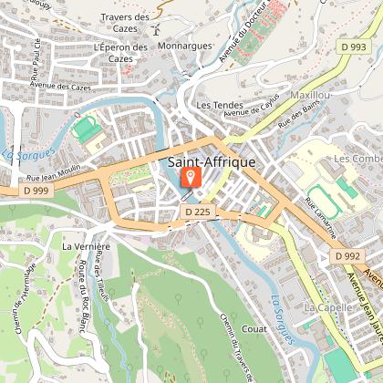
Carpark place Foch, Saint-Affrique
Departure
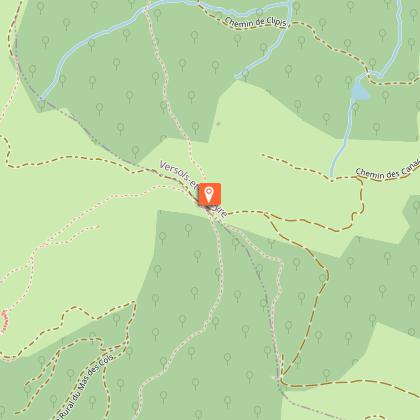
Château de Montaigut
Data author
