Immersion in Vallon de l'Orgère

Description
Enter a valley perched at the gates of Vanoise National Park. Leave civilisation behind and head off into the countryside. As you from forest to tranquil glade and back again, you'll feel like time loses its meaning.
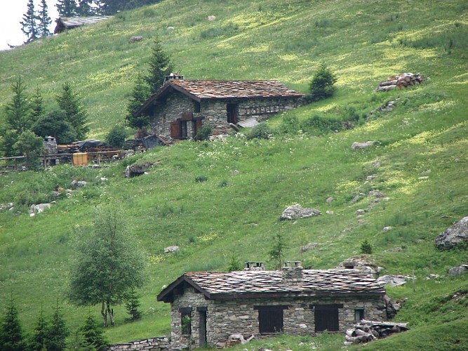
You'll love the start, through quaint little villages on the left and right banks fo the Arc river. The village of Amodon marks the end of your warm-up. Walking through silver firs and mountain pines, you'll reach a secluded clearing, the ideal place to take a break and cool off. Don't miss out on visiting the former Aiguille Doran refuge, a top attraction in Vanoise National Park. Can you hear the distant whistles of the marmots echoing around the cliffs of Aiguille Doran and Râteau d'Aussois? Rising to over 3,000 m of altitude, these two summits seem to watch over you. Stop off for a meal at Orgère refuge to to get even more into the mountain spirit. Who knows, maybe it'll also unleash your desire to spend a night in the refuge or bivouacking? In the height of summer, you'll be thankful for the shade that accompanies you on your way down from Pont des Chèvres. When you return, walk through the alleys of Villarodin and Le Bourget to hunt out some heritage secrets.
Technical informations
13 km
|
max. 1898 m
min. 1080 m
900 m
900 m
| |||
Accessibility | ||||
Styles : HikingMountainForest | ||||
Altimetric profile
Starting point
Points of interest
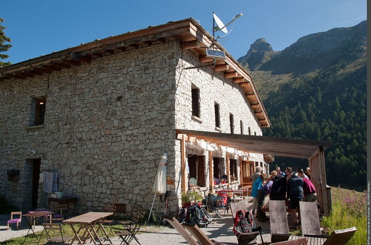
Orgere refuge
Next to a magnificent forest of conifers (some 700 years old), the refuge of the Vanoise National Park welcomes everyone (especially the motor and visually handicapped) and informs them about the national park. It is a stage of the GR5.
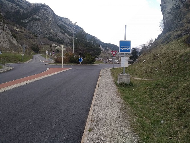
Bus stop N°400 : Lovers' Rock
Bus stop N°401 : "Rocher des Amoureux" in the commune of Villarodin-Bourget at the entrance to Le Bourget.
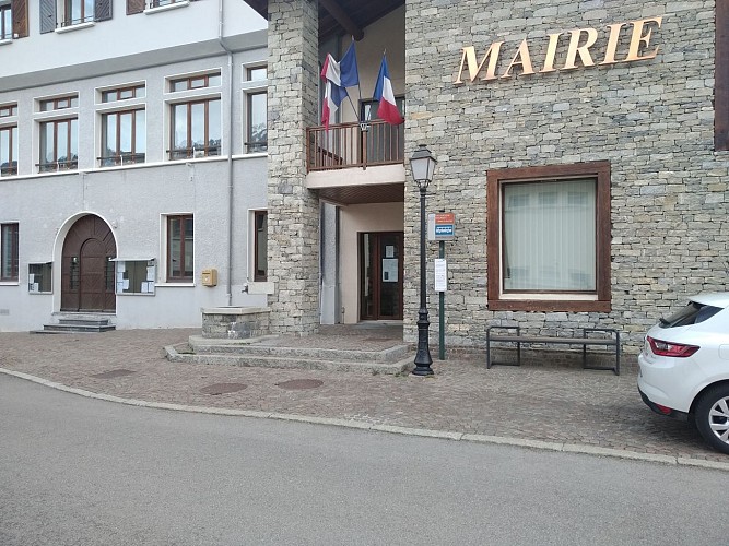
Bus stop N°401 : City Hall
Bus stop N°401: "Mairie" in the commune of Villarodin-Bourget serving the heart of Le Bourget (town hall and church nearby).
Date and time
- From 01/07/2024 to 15/10/2024
- From 01/07/2025 to 15/10/2025
Additional information
Updated by
Communauté de communes Haute Maurienne Vanoise - 19/04/2024
www.cchautemaurienne.com
Report a problem
Guidebook with maps/step-by-step
To guide you in the field, consult the "step-by-step" directional diagram provided in pdf.
Environments
Close to a public transportation
Mountain location
Presence of livestock and guard dogs
Close to GR footpath
In a nature reserve
Forest location
Mountain view
Near shuttle stop
Open period
From 01/07 to 15/10.
Subject to favorable snow and weather conditions.
Contact
Phone : 04 79 05 99 06
Email : info@hautemaurienne.com
Website :
www.haute-maurienne-vanoise.com
www.cchautemaurienne.com/transports-collectifs-sur-le-territoire
Topo guides and map references
Topo guides references :
Red route n°79
Map references :
Map and booklet "Walks and Hikes Haute Maurienne Vanoise" (sold for € 10 at the Tourist Office)
Type of land
Ground
Not suitable for strollers
Location complements
By bus: Line S52 - Rocher des amoureux stop or Line 2 - Mairie stop.
By car: park in the parking lot next to Le Bourget town hall.
Data author
