Alert
Alerts
PR 10 - The urban planning road


The Cirkwi brief
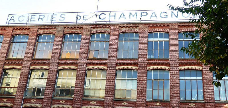
Embarking on the PR 10 route is like stepping into a time capsule that transports you back to the architectural evolution of La Courneuve from the mid-20th century, courtesy of FFRandonnee Seine-Saint-Denis. Once a hive of industrial activity, today it offers a quiet testimony to its bustling past with landmarks like the Champognole steelworks, Mécano and Babcock factories. Beyond the industrial remnants, the cité des Courtillières looms—a testament to urban planning with its serpent-like bar and three-branched towers, nestled in a sprawling park. This exploration offers more than just history; it’s an immersive dip into the very soul of urban architectural ambition.
Technical Insights Unveiled
Covering a distance of 8.68 km, with minimal elevation changes between 33 to 49 meters above sea level, PR 10 is comfortably accessible on foot. The route presents a gentle incline with a total positive elevation of 19 meters, counterbalanced by a descent of 8 meters, making it an inviting challenge for walkers of all skill levels. Engineered thoughtfully, it merges ease of traversal with enriching historical engagement, marking an ideal balance for an enriching day out. Here, the journey is as smooth as it is enlightening.
Seasonal Trekking Tips
Regardless of the season, La Courneuve unfolds its charm uniquely. During spring, the blooming flora in the park surrounding the cité des Courtillières is a sight to behold. Summer brings longer days, perfect for leisurely exploration and picnics. To comfortably enjoy your walk, always carry water, wear sunscreen, and perhaps a hat. Autumn paints the town in warm hues, offering a picturesque ambiance, while winter—albeit chiller—shines with crisp air and fewer crowds. Take note of local holidays and weekdays to avoid school rush hours for a serene experience.
La Courneuve's Historical Tapestry
La Courneuve, situated within the Seine-Saint-Denis department, stands as a beacon of industrial progress and architectural innovation from the 20th century onwards. Its evolution from an industrial hub to a landmark of urban planning encapsulates the region's resilience and forward-looking spirit. The remnants of its industrial past, alongside the visionary cité des Courtillières, offer a narrative of socio-economic transformations, underscoring the importance of La Courneuve in the broader historical and cultural landscape of Île-de-France.
Climate Guide for La Courneuve
The climate in La Courneuve, typical of the Île-de-France region, oscillates between mild to moderately warm summers and cool to cold winters. Rainfall is fairly distributed throughout the year, making any season suitable for a visit. However, for an optimum experience, the transitional periods of spring (March to May) and autumn (September to November) offer the most pleasant weather, with average temperatures conducive to outdoor activities. Planning your visit during these months ensures a comfortable journey through La Courneuve’s rich architectural tapestry.
Technical Information
Altimetric profile
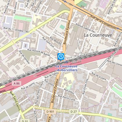
Starting point
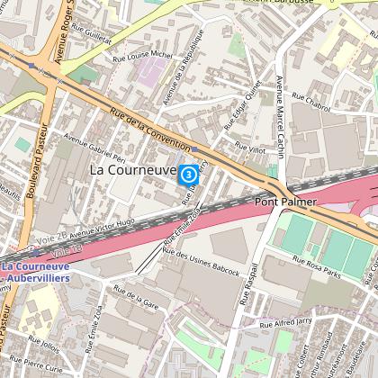
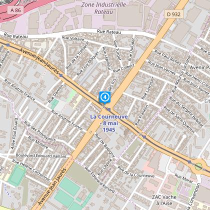
Steps
Data author
