N°14 Barétous - Tête Sauvage
Description
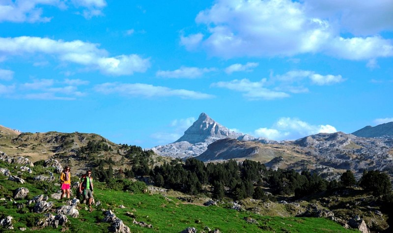
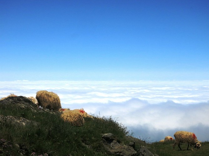
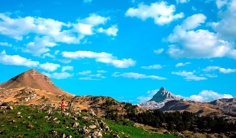
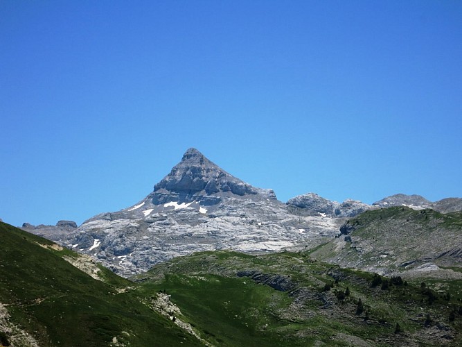
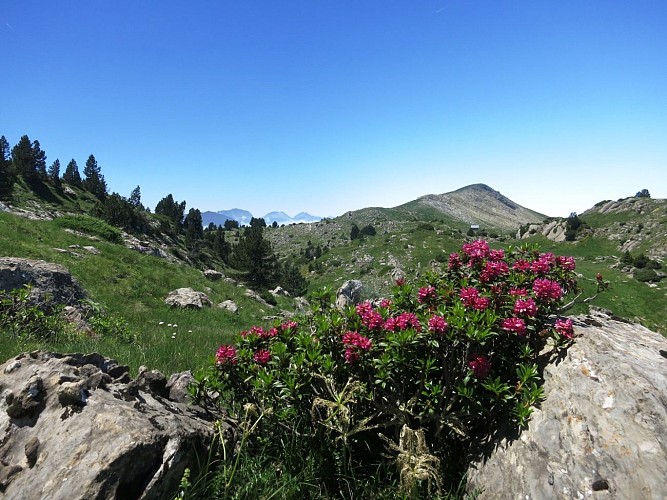
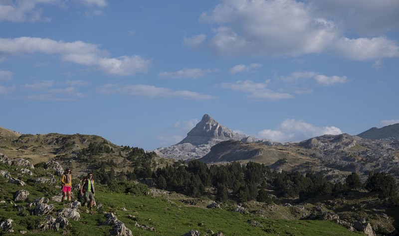
Wonderland! The atmospheres keep changing as you fly by landscapes. Sheep graze on mountain pastures at the start point in La Pierre Saint-Martin. After crossing the Col de la Pierre Saint-Martin, to the south pines and flower beds burst with colour before the mineral tones of the Arres d'Anie.
Technical informations
9.4 km
|
max. 1951 m
min. 1627 m
504 m
504 m
| |||
Altimetric profile
Starting point
Steps
Mountain pass road
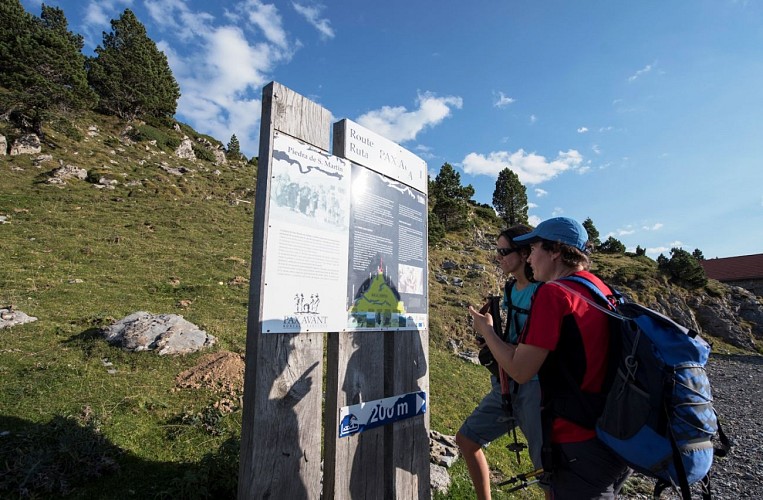
From the motorhome car park, head towards the ski lift on the right. Go alongside the ski lift to the Refuge Jeandel (the terrace calls out to you on arrival). After the refuge, hit the grassy path back to the mountain pass (cisterns on the right). Go back down the path towards the right. Fork left after a ski lift where a track gets you back onto the road. Cross the road and watch out for cars and cyclists.
Col de Boticotch
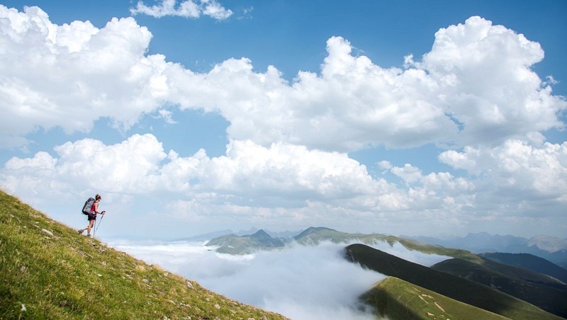
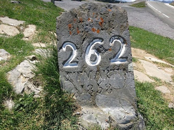
Above the car park take the path uphill with stunning views. A long crossing with views amidst summer pastures dotted with pine trees leading to a valley. Before the mountain pass, go right up the path that makes its way through boulders. Continue the crossing, on the Spanish side and at the foot of the Arlas, take the right-hand path. At the Col de Pescamou, cross the South South West plateau to reach the Col de Boticotch (266 boundary marker).
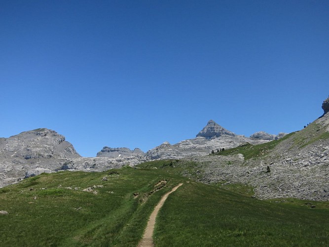
La Tête Sauvage
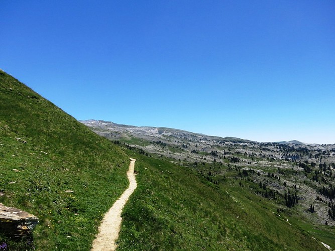
Continue along this track, after the metal shelter, leave the ascending path. When you reach the Arres, leave the main path to the left. A clearly outlined path winds through the lapiaz. Be sure to stay on it in foggy conditions though! Go right at a grassy mountain pass (metallic relic). Continue until a mountain pass, the famous Boulevard des Pyrénées (ski slope).
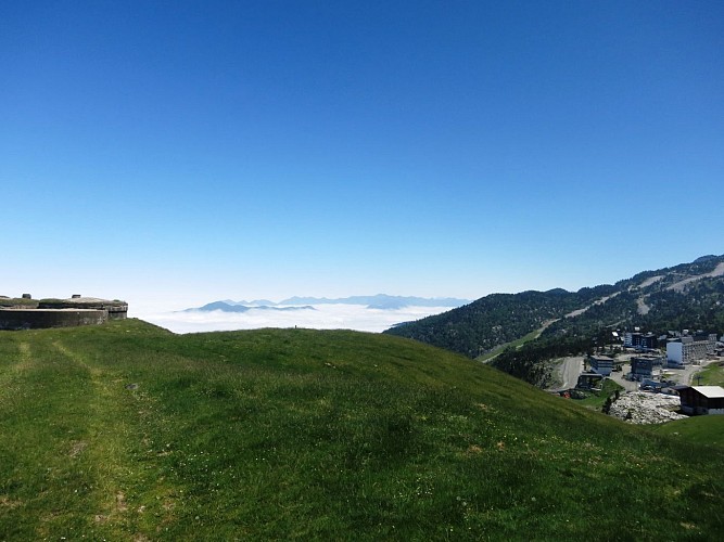
Resort
Follow the left-hand path and leave it on the right when you see a cabin at the bottom. The path goes down to the Pescamou plateau. Stumble into the limestone cliffs and get back onto the GR10 trails. The track runs along the Arre Planère and its mountain pines. Fork left towards the ski lifts and take the highest track. Stay on it to reach the car park.
Points of interest

La Tête Sauvage
La Pierre's 140km2 of limestone mountain is incredible. There are 420km of tunnels. The entrance to La Tête Sauvage is one of 11 ways to access the Gouffre de la Pierre. Its link with the underground network, including the famous Grotte de la Verna, was discovered in 1952.
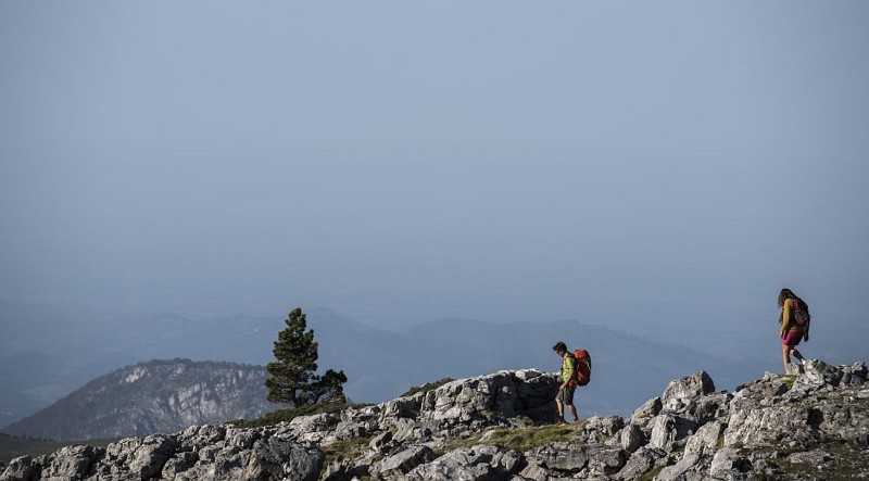
Alpine accentor
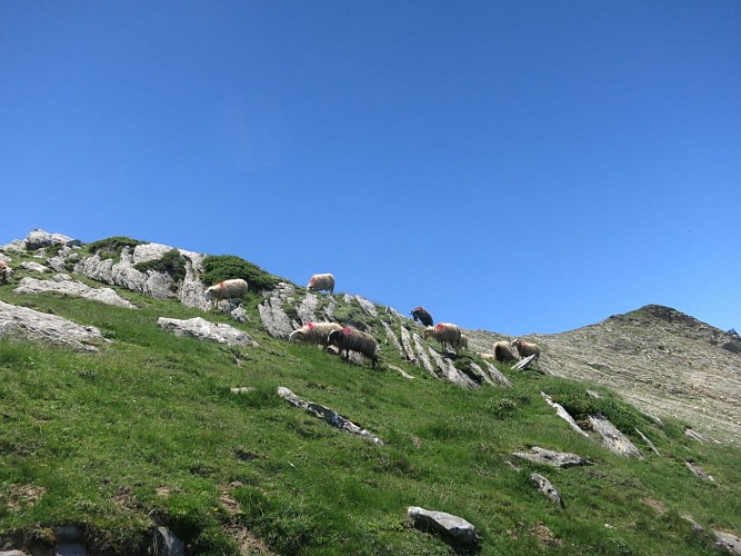
La Pierre's lapiaz is the perfect habitat for this mountain passerine. Its feathers blend into the backdrop. It isn't shy so don't be surprised if you see it pecking at crumbs left by skiers.

Refuge Jeandel
This refuge was built in 1963 at an altitude of 1670m with views of the valley and ski resort. It's one of the must-do stages on the GR10 and HRP trails. You'll get a warm welcome here and the views from the terrace are perfect for a post-hike refreshment.
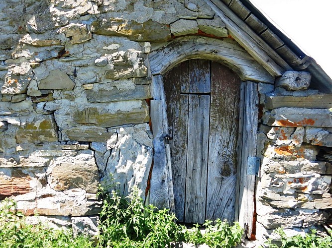
Wooden lintel
The shepherds built their cabins themselves. Was the lintel in wood or stone?
Additional information
Balisage
Yellow
Trait
Typologie de l'itinéraire
Loop
Equipements
Water point
Thèmes
Natural
Data author
