Le grand Balcon
Description
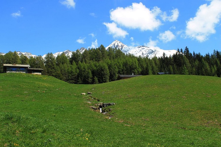
An ambitious hike that will be difficult to complete in a single day. But you can be satisfied with a portion! Forest, clearings and stations
The path is marked upstream from the station. It winds through the forest upstream of the route des espagnols. It passes through the commune of Bourg-St-Maurice before passing on the northern side of the massif to the beautiful village of Villaroger.
Duration: about 5 hours, difference in altitude: 750 m
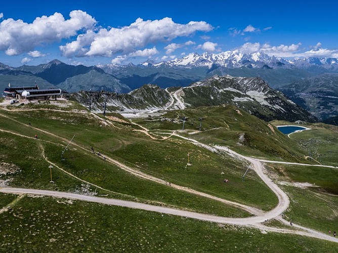
Plan Peisey - Arc 1800: difference in altitude 50 m, about 1 h
Arc 1800 - Arc 1600 : difference in altitude 200 m, about 1 h
Arc 1600 - Villaroger : difference in altitude 450 m, about 2 h
Technical informations
14 km
|
min. 99999 m
417 m
1048 m
| |||
Altimetric profile
Starting point
Date and time
- From 15/05/2024 to 15/10/2024
- From 15/05/2025 to 15/10/2025
Additional information
Guidebook with maps/step-by-step
The path is marked upstream from the station. It winds through the forest upstream of the route des espagnols. It passes through the commune of Bourg-St-Maurice before passing on the northern side of the massif to the beautiful village of Villaroger.
Duration: about 5 hours, difference in altitude: 750 m
Plan Peisey - Arc 1800: difference in altitude 50 m, about 1 h
Arc 1800 - Arc 1600 : difference in altitude 200 m, about 1 h
Arc 1600 - Villaroger : difference in altitude 450 m, about 2 h
Environments
Mountain location
Updated by
Office de Tourisme de Peisey Vallandry - 16/04/2024
www.peisey-vallandry.com
Report a problem
Open period
From 15/05 to 15/10.
Tricky passages
Street signs
Contact
Phone :
04 79 07 94 28
04 79 07 88 67
Email : info@peisey-vallandry.com
Website : www.peisey-vallandry.com
Location complements
Park near establishments such as the Mont Blanc, the Emeraude Hotel or the CGH Orée des Cimes to facilitate departure
Data author
