Alert
Alerts
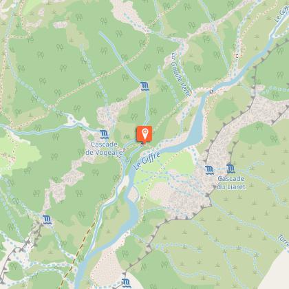
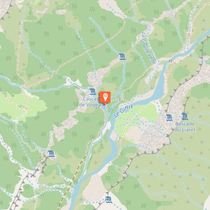
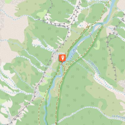
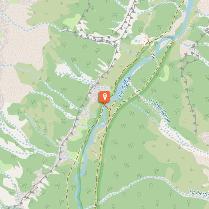
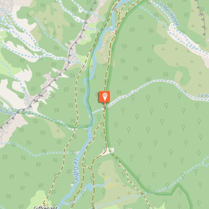
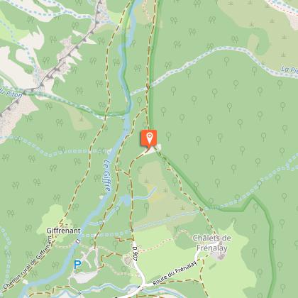
Hiking itinerary: Refuge and Vogealle lake
1 alert on this circuit
Alerte visiteurs
Le Stationnement au parking du Fer-à-Cheval est payant de mai à septembre. La contribution solidaire via le stationnement permet à la commune de mener des actions liées à l’entretien, la préservation et la mise en valeur des sites naturels, ainsi qu’à l’accueil et l’orientation du public.
Pour consulter la fréquentation en temps réel du parking, veuillez cliquer ici:
affluences.com/parking-de-sixt-fer-a-cheval


IGN cards


Description
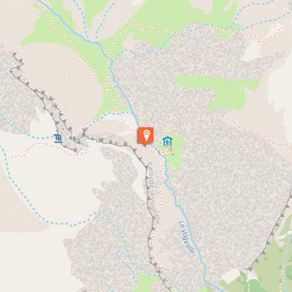
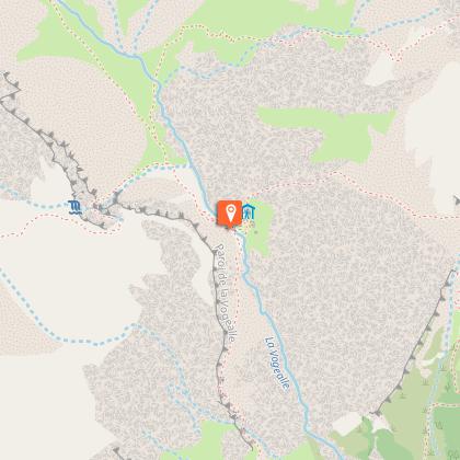
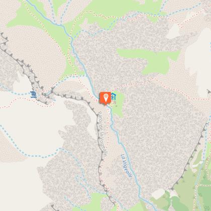
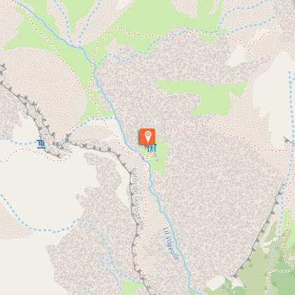
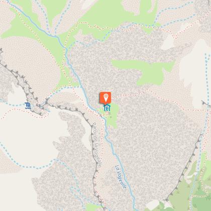
Standing at the gateway to the highest summits of Sixt, facing the glaciers, the Vogealle Refuge is a key stopoff point for mountaineers preparing to conquer the Grand Mont Ruan (3,040 metres) or the surrounding peaks.
Technical Information
Altimetric profile
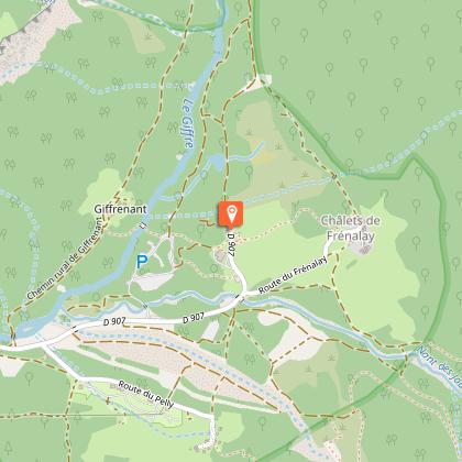
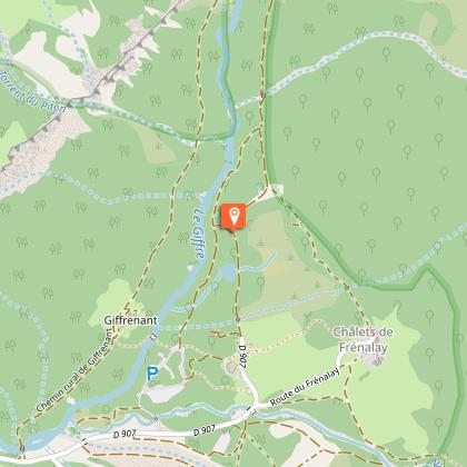
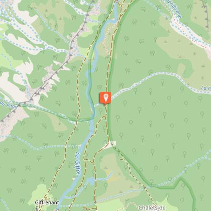
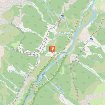
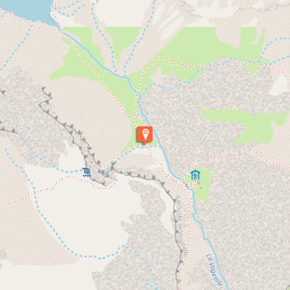
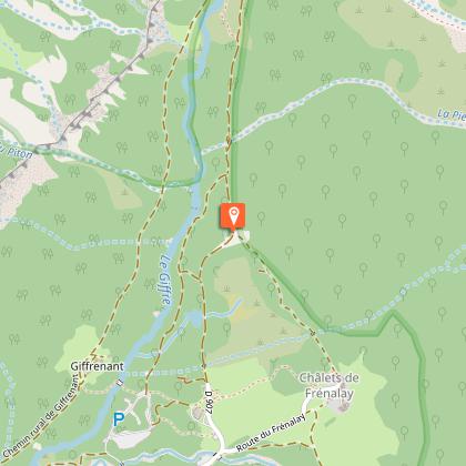
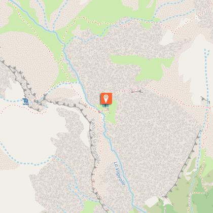
Starting point
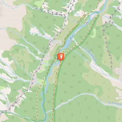
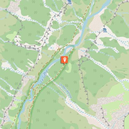
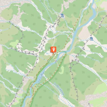
Steps


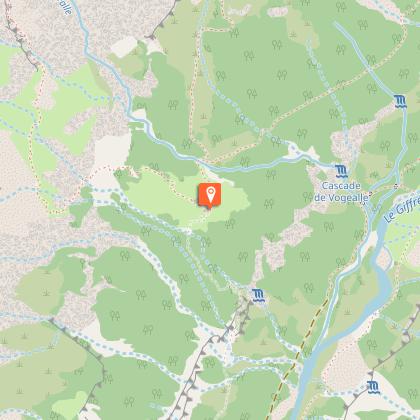
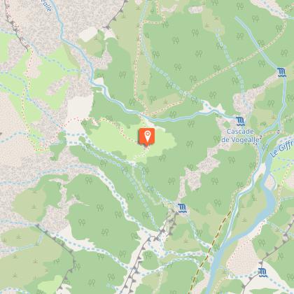


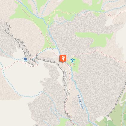


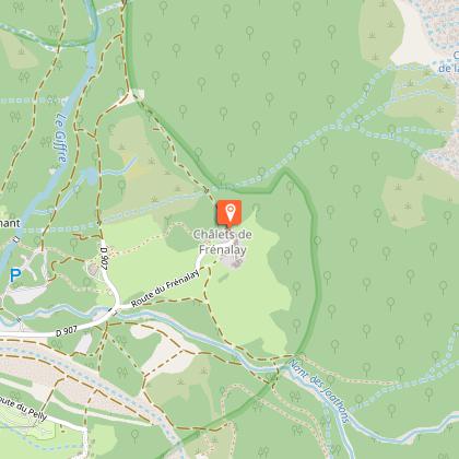
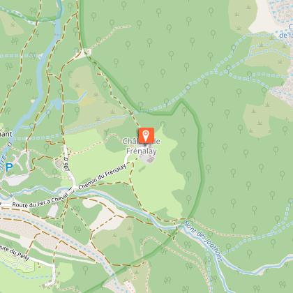
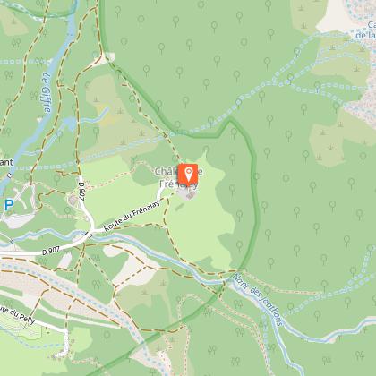


Points of interest


Date and time
- From 16/06/2026 to 30/09/2026
- From 16/06/2027 to 30/09/2027
Additional information
Environments
Lakeside or by stretch of water
Mountain view
Waterside
Lake view
Mountain location
In a nature reserve
Updated by
Haut-Giffre Tourisme - 03/01/2026
www.haut-giffre.fr
Report a problem
Open period
From 16/06 to 30/09 daily.
Contact
Phone : 04 50 34 49 36
Email : contact@haut-giffre-tourisme.fr
Type of land
Rock
Stone
Ground
Not suitable for strollers
Guidebook with maps/step-by-step
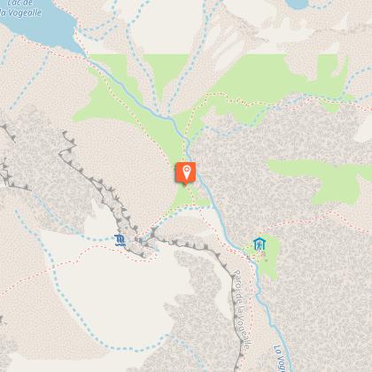
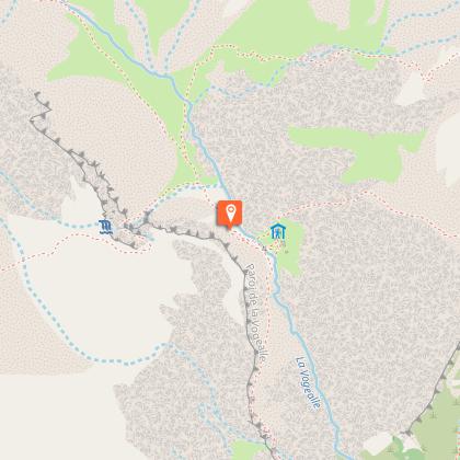
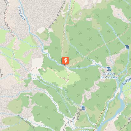
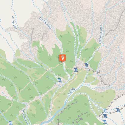
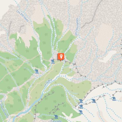
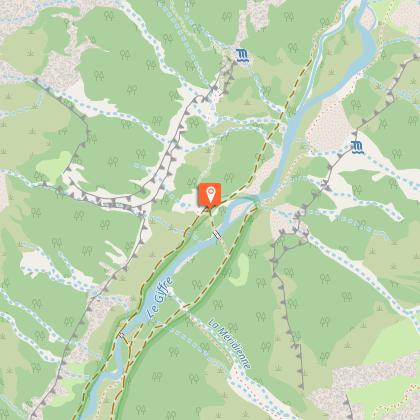
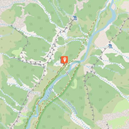
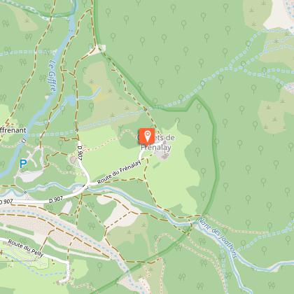
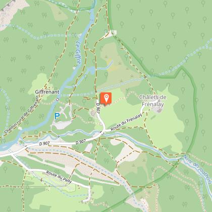
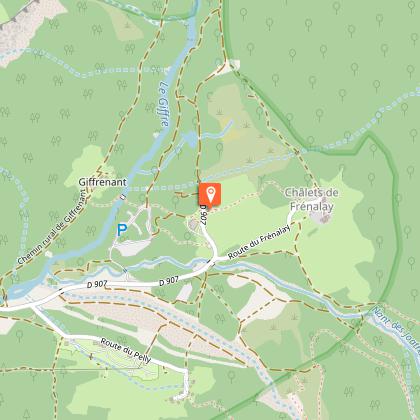
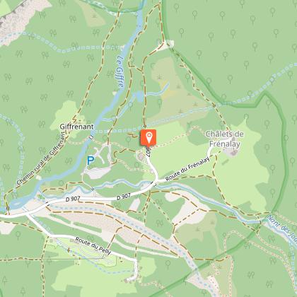
Take the wide path from the right of the Fer-à-Cheval restaurant. Follow it through the woods, over a footbridge, then through more woods. On your right, the impressive Tenneverge peaks tower above you. Cross the Giffrenant footbridge and take the path to the right. The view opens up over the bottom of the valley, known as the "Fond de la Combe". When you reach the Prazon café, take the path on the left towards Boret and Vogealle. It takes you directly to the Pas du Boret, an aerial section fitted with cables that's relatively easy to negotiate. From the Pas du Boret, follow the markings on the rocks until you rejoin the path which takes you up to some woods that mark the end of the aerial section. Once out of the woods, you'll find yourself on the Boret prairies. At the café, take the path up towards Vogealle. It rises gently, offering magnificent views of the Tenneverge and Ruan mountains. Once past the Dardet and its characteristic hole in the rock, the path continues upwards. After a long stretch through loose rocks, you'll reach the valley where the Vogealle Refuge stands. The panoramic view of the mountains and glaciers is an invitation to take a break at the refuge!
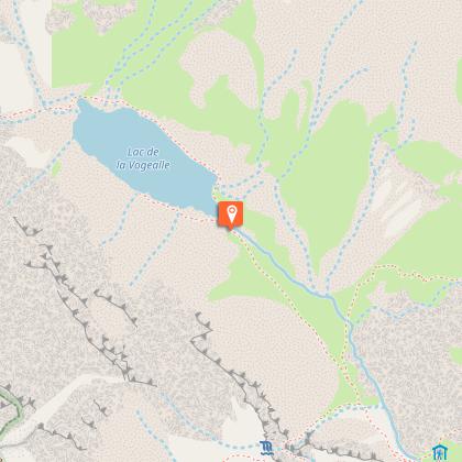
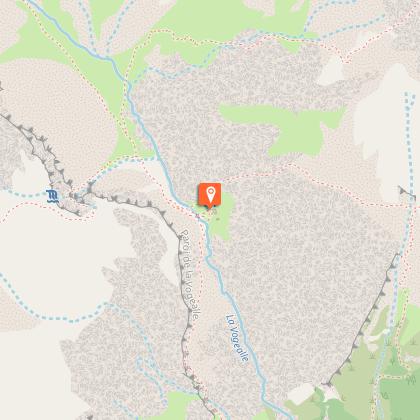
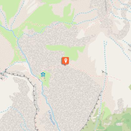
If you wish to continue to the lake, just follow the path off to the north-west of the refuge. A little steep at first, it then levels out and becomes virtually flat as you approach the lake. A 20-minute walk from the refuge, Vogealle lake is a true peace haven where the water surface offers a mirror image of the Dents Blanches summits (2,700 metres).
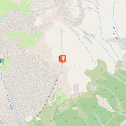
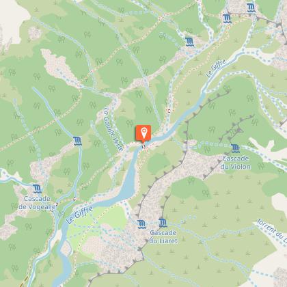
We recommend returning via the end of the world to avoid the Pas du Boret.
Animals
No
Data author
