Hike: Les Fonts refuge and mountain pasture

Description
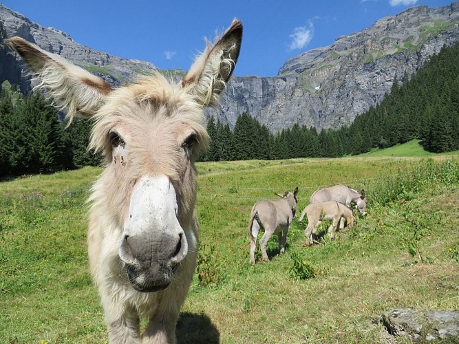
Les Fonts is one of the easiest refuges to reach in Sixt-Fer-à-Cheval. Nestling at the foot of the impressive slopes of the Cirque des Fonts, this refuge is the perfect hiking target for families!
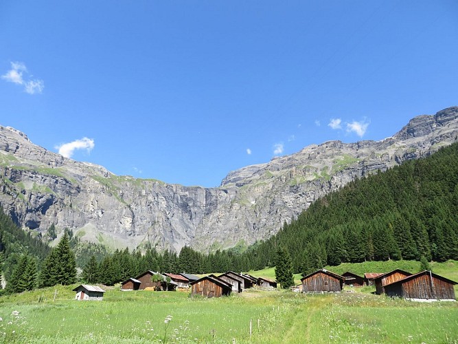
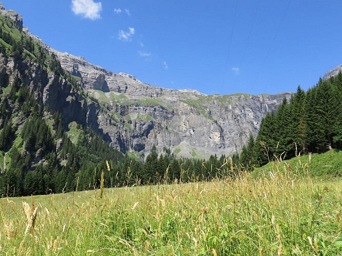
With its chain of very high black schist towers, the Cirque des Fonts is certainly the most austere site of the valley, but still remains one of the most beautiful.
Technical informations
3.8 km
|
min. 99999 m
348 m
348 m
| |||
Public : Family | ||||
Altimetric profile
Starting point
Date and time
- From 13/06/2024 to 30/09/2024
- From 13/06/2025 to 30/09/2025
Additional information
Updated by
Haut-Giffre Tourisme - 17/04/2024
www.haut-giffre.fr
Report a problem
Guidebook with maps/step-by-step
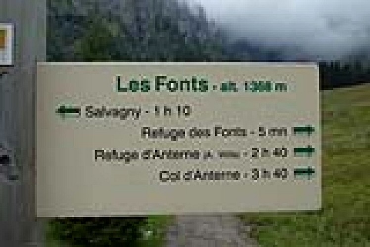
Start from the first group of chalets after the Rouget waterfall, the Fardelay chalets, where you can park your vehicle on the side of the road (limited spaces). Take the footpath that goes off to the left across the field (signpost). The path leads down to a small bridge, passes the "Tines des Fonts" gorges, then goes up through the trees, mingling with the roots of the spruces, before joining the vehicle track at Célière. This track is sometimes bordered on the left by a succession of narrow waterfalls. Cross the bridge over the Gorges des Fonts and follow the path that winds uphill - your last effort before reaching the Alpine pasture of Les Fonts! The first large chalet seen on the left is the "Nid d'Aigle" (eagle's nest) built in 1858 by Sir Alfred Wills, a British judge and mountaineer who fell in love with Sixt and the surrounding mountains. He achieved a series of "firsts" in the mountains of Sixt-Fer-à-Cheval and left quite an impact on the history of the village.
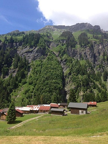
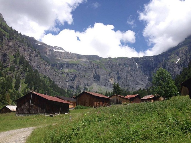
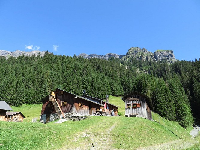
After passing the Nid d'Aigle, you'll come across the chalets and Cirque of Les Fonts. The refuge stands at the top of the track, slightly towering over the other chalets. Greeted by the refuge guardians, you'll be able to enjoy a drink or a bite to eat as you admire the beautiful scenery!
Allow 3 1/4 hours there and back.
The return trip is via the same path.
Variant: from Nant Sec car park (Salvagny hamlet), cross the bridge and follow the wide track which heads up through the woods. Look down to your right for an unusual view of the famous Rouget waterfall. Continue straight on towards Les Fonts, ignoring the Grenairon refuge path on your left. Past Célière, you'll see the Fardelay path on your right. Continue on the wide track.
Open period
From 13/06 to 30/09.
Contact
Phone : 04 50 34 49 36
Email : contact@haut-giffre-tourisme.fr
Data author
