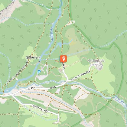
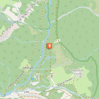
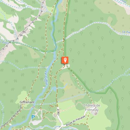
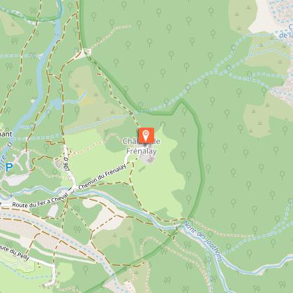
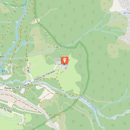
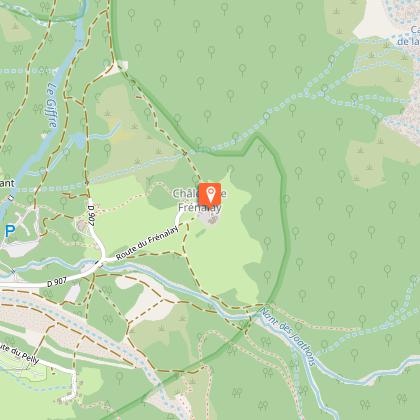
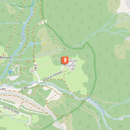
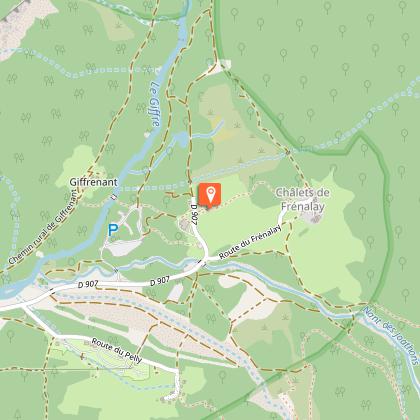
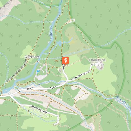
To see around
See more
Open
Close
Show
Show
Show
Show
Show
Show
Show
Show
Show
Show
Show

Oups... It would appear that Cirkwi does not have permission to use your location.

Description
Map
Steps
Points of interest
Ratings and reviews
See around

Frenalay walk

Frenalay walk

Description

A beautiful walk in the heart of the famous Cirque du Fer à Cheval. From the foot of the mountains, admire the waterfalls and the superb panoramic views on this easy, pleasant itinerary.

Technical informations

This circuit was updated on: 19/04/2024
1.7 km
1 h
max. 1009 m
min. 959 m
45 m
45 m
Public : Family

Altimetric profile

Starting point

Cirque du Fer à Cheval , 74740 Sixt-Fer-à-Cheval
Lat : 46.077224Lng : 6.837823

Steps

image du object
1

Tout droit

Altitude959 mCréé1970-01-01 01:00:00

- Haut-Giffre Tourisme -
Consulter
image du object
2

Rester sur la voie de gauche

Altitude975 mCréé1970-01-01 01:00:00

- Haut-Giffre Tourisme -
Consulter
image du object
3

Faire demi-tour

Altitude975 mCréé1970-01-01 01:00:00

- Haut-Giffre Tourisme -
Consulter
image du object
4

Tourner complètement à gauche

Altitude975 mCréé1970-01-01 01:00:00

- Haut-Giffre Tourisme -
Consulter
image du object
5

Tourner à droite

Altitude988 mCréé1970-01-01 01:00:00

- Haut-Giffre Tourisme -
Consulter
image du object
6

Tourner à gauche

Altitude988 mCréé1970-01-01 01:00:00

- Haut-Giffre Tourisme -
Consulter
image du object
7

Tourner à gauche

Altitude997 mCréé1970-01-01 01:00:00

- Haut-Giffre Tourisme -
Consulter
image du object
8

Tourner à droite

Altitude994 mCréé1970-01-01 01:00:00

- Haut-Giffre Tourisme -
Consulter
image du object
9

Faire demi-tour

Altitude993 mCréé1970-01-01 01:00:00

- Haut-Giffre Tourisme -
Consulter
image du object
10

Tourner à gauche

Altitude994 mCréé1970-01-01 01:00:00

- Haut-Giffre Tourisme -
Consulter
image du object
11

Tourner à gauche

Altitude997 mCréé1970-01-01 01:00:00

- Haut-Giffre Tourisme -
Consulter
image du object
12

Tourner à droite

Altitude985 mCréé1970-01-01 01:00:00

- Haut-Giffre Tourisme -
Consulter
image du object
13

Rester sur la voie de droite

Altitude962 mCréé1970-01-01 01:00:00

- Haut-Giffre Tourisme -
Consulter
image du object
14

Tourner à droite

Altitude960 mCréé1970-01-01 01:00:00

- Haut-Giffre Tourisme -
Consulter
image du object
15

Tourner à gauche

Altitude960 mCréé1970-01-01 01:00:00

- Haut-Giffre Tourisme -
Consulter
image du object
16

Tourner complètement à gauche

Altitude959 mCréé1970-01-01 01:00:00

- Haut-Giffre Tourisme -
Consulter
image du object
17

Destination

Altitude959 mCréé1970-01-01 01:00:00

- Haut-Giffre Tourisme -
Consulter

Date and time

  • From 01/05/2024 to 30/11/2024
  • From 01/05/2025 to 30/11/2025

Additional information

Guidebook with maps/step-by-step

From the car park, take the road towards the Frenalay chalets, then turn left onto the forest path and, at the intersection, head for the Fer à Cheval restaurant.

Environments

Mountain location
Riverside
Forest location
Mountain view

Updated by

Haut-Giffre Tourisme - 29/03/2024
www.haut-giffre.fr
Report a problem

Open period

From 01/05 to 30/11.

Subject to favorable weather.

Type of land

Suitable for all terrain strollers

Contact

Phone : 04 50 34 49 36

Email : contact@haut-giffre-tourisme.fr

Reception complements

Camper vans are allowed to spend the day on the paying car park. Groups can be dropped off here but coaches must park at the Nambride reception point.

Data author

23 Route des Follys 74440 Morillon France

Ratings and reviews

To see around
See more
Open
Close
Show
Show
Show
Show
Show
Show
Show
Show
Show
Show
Show