Alert
Alerts
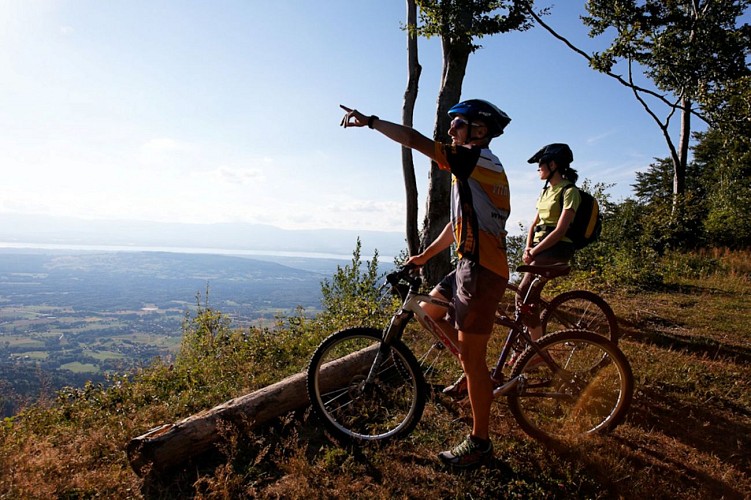
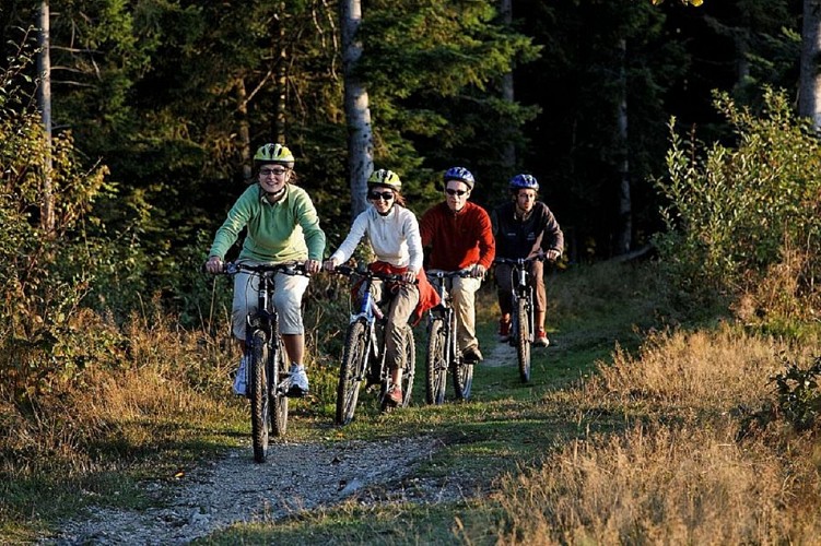
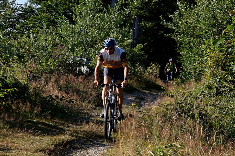
Les Moises Mountain Bike Trail
IGN cards


Description
An easy ride on the Plateau des Moises where you'll see the stunning sights of Lac Léman and the Plateau's peatlands.
Distance: 6.2km
Duration: 1 hour
Difference in altitude: +100m
Altitude at departure: 1080m
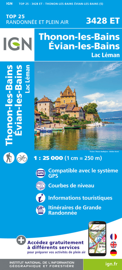
Map reference: IGN TOP 25 - 3428 ET Map
Difficulty: leisurely
Signage: Wood panels
Take the Col de Cou departmental road for 200m then turn right. The path runs along the gliding piste, crosses the Plateau then twists and turns back down to the Forêt des Allinges. Venture into the forest and go back up to the Col des Moises departmental road. Cross the road and take the skid slope running behind a little chalet. Go through the forest and go back up the Chatillonnet forest road. Then go back to Col des Moises and end at the Foyer de ski de fond.
Technical Information
Altimetric profile
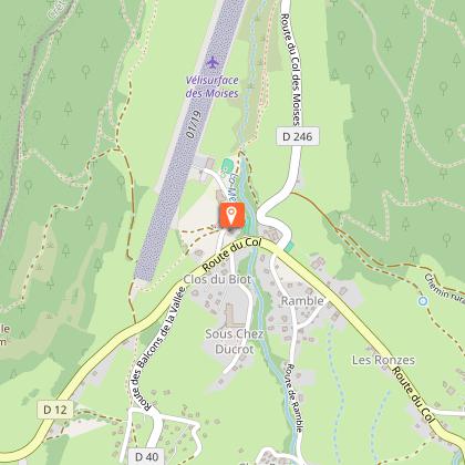
Starting point
Points of interest

Date and time
- From 14/06/2026 to 30/10/2026 from 09:00 to 18:00
Additional information
Updated by
Office de Tourisme des Alpes du Léman - 07/08/2025
www.alpesduleman.com
Report a problem
Contact
Phone : 04 50 39 54 46
Email : info@alpesduleman.com
Website : https://www.alpesduleman.com
Facebook : https://www.facebook.com/alpesduleman/
Google+ : https://www.google.com/maps/place/Office+de+Tourisme+des+Alpes+du+L%C3%A9man+-+Bureau+d'habère-poche/@46.2487499,6.4734839,15z/data=!4m2!3m1!1s0x0:0xf8933f99bd30735a?hl=fr&sa=X&ved=0ahUKEwiPivG_4NLbAhVBzxQKHYx4AzwQ_BIIhwEwCg
Type of land
Stone
Ground
Hard coating (tar, cement, flooring)
Grit
Reception complements
Hike guide available to buy at Tourist Information with hiking and mountain biking trails.
Animals
No
Data author
