To Nant along the Rhône
Description
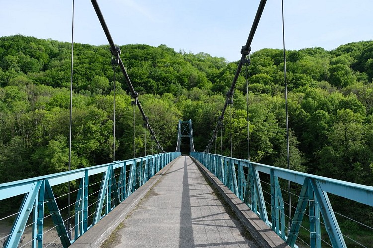
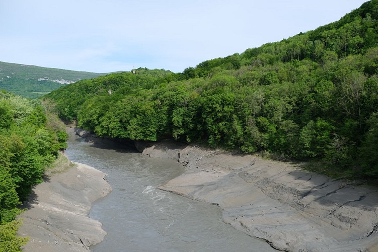
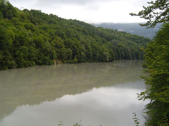
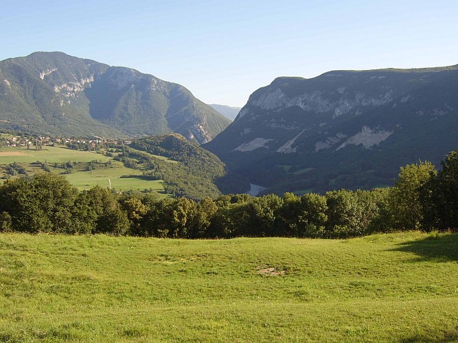
A trail which crosses the communes (villages) of Eloise, Clarafond and Arcine. With rich heritage to uncover: panoramic views, Défilé de l'Ecluse, bridges, the river Rhône, ancient hamlets...
Leaving from: Clarafond/Tanay, 350m
Tourist area: Albanais - Pays du Rhône
Maximum altitude: 600m
Follow the route to Arcine for 15 minutes in the direction of the little tarmacked road as shown on the signpost. Then at the next crossing take a left onto a tarmacked road. Follow the signs on the markers provided which will take you to Bartomière. Pick up the RD908a and continue straight ahead in the same direction which will take you directly to the centre of Arcine. A little further from the church in the centre there is a beautiful view to the left of the Château d'Arcine. From the village centre, continue your descent through the village following the signs. There is a panoramic view of the river Rhône. A few metres later, on reaching the road at the bend, continue straight ahead on the dirt track (do not follow directions for Les Banges and Beauchatel).
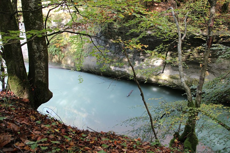
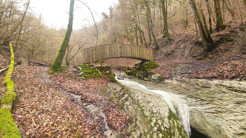
This will take you to a place called Route d’Entremont. Take the left turn in the direction of Eloise and continue for 1 hour 55 minutes. The track passes along the Rhône and leads to a picnic area. Keep going in the direction of Eloise for 1 hour 35 minutes. At the hamlet of Banges continue straight on until you reach Beauchatel. Follow the signs put in place. At the end of the village take the path in front of you. After a few metres you will come to a grassy field. Follow the path. You will find yourself at Crêt de l'Aigle. Continue in the direction of Eloise for 45 minutes. Make a descent in the direction of the Rhône to come upon some magnificent small gorges. Take a left in the direction marked on the signs which will take you to Pont de Gresin. Take the path that climbs in the direction of Eloise for 20 minutes. On the approach to Eloise, turn left and on picking back up the dirt track, take the path that drops down on your right. At the village greengrocers, take a left turn to go along a road with pleasant views. You will reach a beautiful cross made of wood. Take the right-hand turn following the signs. At the reservoir leave the road to pick up the rural path closest to the reservoir itself. At the end of the path, take the tarmacked road on your left leading to the Croix du Tanay.
Technical informations
14 km
|
min. 99999 m
450 m
450 m
| |||
Altimetric profile
Starting point
Additional information
Environments
Village 2 km away
In the country
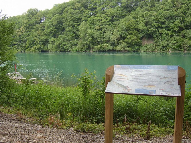
Waterside
Riverside
Mountain view
Updated by
Conseil Départemental de la Haute-Savoie - 26/03/2024
www.hautesavoiexperience.fr
Report a problem
Open period
All year round.
Accessible outside of snowy periods depending on weather conditions. Contact the Tourist Office beforehand for information on current access conditions. Advisable periods: spring - summer - autumn.
Contact
Phone : 04 50 32 26 40
Email : contact@hautrhone-tourisme.fr
Website : www.hautrhone-tourisme.fr
Topo guides and map references
Topo guides references :
Guidebook of 37 walks and cycle routes: Salève and Vuache regions by foot. For sale in the tourism offices of St Julien and Genevois.
Map references :
Map of cycle trails for the Pays du Vuache region 1/25000, IGN map “Bellegarde sur Valserine” 3330 OT.
Data author
