Alert
Alerts
Château Richard and Croix du Signal


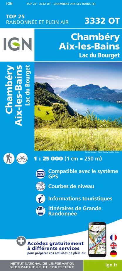
IGN cards


Description
Two magnificient view points over the Alps, and the lakes du Bourget and Aiguebelette. Challenging route (4 to 6 hours walking).
Technical Information
Altimetric profile
Starting point
Points of interest


Additional information
Environments
Lake view
In the country
In a nature reserve
Lake 5 km away
Updated by
Office de Tourisme Lac d'Aiguebelette - 24/11/2025
www.lac-aiguebelette.com
Report a problem
Open period
All year round daily.
Contact
Phone : 04 79 36 00 02
Email : info@lac-aiguebelette.com
Website : http://www.lac-aiguebelette.com
Topo guides and map references
Topo guides references :
Guide Château Richard A8 (Hiking map of the Pays du Lac d'Aiguebelette, available at the Tourist Office, at the Maison du Lac).
Map references :
TOP 25 IGN - 3332 OT - Chambéry, Aix-les-Bains, Lac du Bourget
Hiking map of the Pays du Lac d'Aiguebelette (€3, available at the Tourist Office, at the Maison du Lac)
Animals
Yes
Data author
