Alert
Alerts
Les Hauts de Saint-Genix

Description
Discovering our rural landscapes ! This marked route will take you on the height from the village of St Genix sur Guiers and you will also discover two visible "big houses" along the way.
Technical Information
Altimetric profile
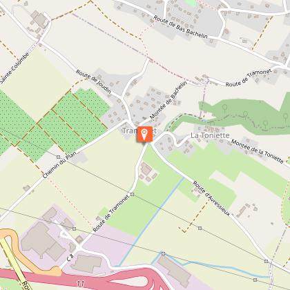
Starting point
Points of interest
Additional information
Environments
In the country
Updated by
Communauté de Communes Val Guiers - 17/02/2026
Report a problem
Open period
All year round daily.
Contact
Phone : 04 76 31 63 16
Website :
http://www.tourisme.ccvalguiers.fr
https://www.visorando.com/randonnee-boucle-des-hauts-de-saint-genix-sur-guie/
Topo guides and map references
Topo guides references :
You can find a binder of hiking tracks in the Pays du Lac d'Aiguebelette (38 tracks for 14.5 euros). Both are available in the Val Guiers tourist office.
Guidebook with maps/step-by-step
Look for the sign on the esplanade along the bridge. Go down the little road and follow the directions for the river Guiers.Follow the yellow arrows. From the Urice Ridge you can reach the north side of the hill by going through the Côte Envers chestnut tree forest. The route at the foot of the hill is part of Saint James Way (Route of Santiago de Compostela) with its hillside leading to the forest and eventually taking you back down to the Pigneux and Saint Genix sur Guiers chapel, where you will find your starting point.
Animals
Yes
Data author
