Alert
Alerts
Forest discovery trail - walking trail
Description
Take a walk and discover the botany, fauna and mountain forest on a trail that winds through the blueberry-covered, high-altitude spruce forest.
A forest walk suitable for the whole family.
The trail winds through a "living" forest where conifers rub shoulders with deciduous trees where foxes and wild boar can hide, not forgetting raspberries, blueberries, ferns and anthills...
The hike can end with a picnic in the area beside a magnificent trunk pond.
You can also extend the walk as far as the chalets de l'Avenaz, where you'll discover a magnificent panorama of the Mont-Blanc chain.
Information of 20/05/2026: Repair work on the "route de la Jorasse" bridge will start on Monday May 18, 2026, and will last three weeks. The Lezaive d'en haut/and/Cornillon parking lot and the forest road will therefore not be accessible during this work. To access your itinerary, you can take the Chemin de Cornillon in either direction. Contact Cordon Tourisme for further information.
Technical Information
Altimetric profile
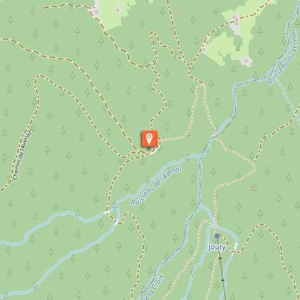
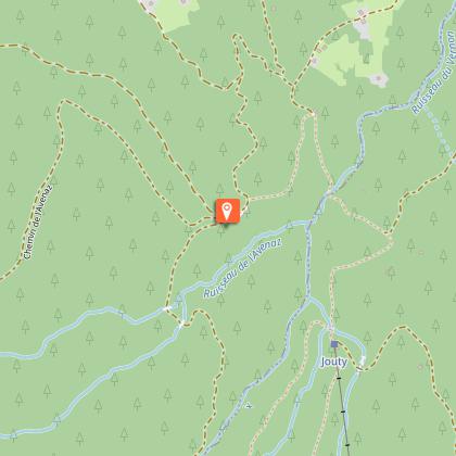
Starting point
Points of interest
Additional information
Open period
All year round daily.
Dates are indicative and may vary according to snow conditions. Please contact Cordon Tourisme for current conditions.
Subject to favorable weather.
Tips
Interactive, educational and fun terminals
Updated by
Cordon Tourisme - 20/05/2026
www.cordon.fr
Report a problem
Environments
Forest location
Mountain view
Mountain location
Contact
Phone : 04 50 58 01 57
Email : info@cordon.fr
Website : https://www.cordon.fr
Type of land
Ground
Not suitable for strollers
Location complements
Access by a dirt road accessible by car (or by a footpath starting from the Lezaive d'en haut parking lot) which is the forest road, beyond the hamlet of Les Pontets; park then at the level of the plains, the start of the footpath is below;
Topo guides and map references
Map references :
Map IGN 3430ET - LA CLUSAZ LE GRAND-BORNAND
Les Belvédères du Mont-Blanc map on sale for €7 at the tourist office.
Reception complements
Map available from the tourist office to discover these and other trails.
Whatever your hike, remember to pack cereal bars, plenty of water, sunglasses, sun cream, a small first-aid kit, and clothing suited to the season and weather forecast.
This itinerary can also be done accompanied, by hiring a mountain leader.
Tricky passages
No
Guidebook with maps/step-by-step
1/ Park at the Lezaive d'en haut parking lot (1h climb to Les Plaines) or park at the top of the forest road (requires adapted car, 15 min).
2/ The trailhead is located downstream from the parking lot.
3/ The trail winds through a "living" forest, following information panels on the flora and fauna.
4/ The hike ends at the picnic area next to a magnificent pool carved out of a tree trunk.
Alternative:
You can also extend the walk as far as the chalets de l'Avenaz, where you'll discover a magnificent panorama of the Mont-Blanc chain.
Animals
Yes. Dogs must be kept on a leash.
Data author
