Alert
Alerts
Type of practice
Walking
Presentation
Description
Map
Points of interest
Ratings and reviews
See around
Beaufortain tour

Credit : G. Lansard / Beaufortain
IGN cards

3531OTR - MEGEVE RESISTANTE COL DES ARAVIS
Editor : IGN
Collection : TOP 25 RÉSISTANTE
Scale : 1:25 000
17.20€
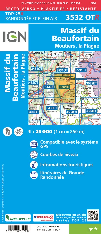
3532OTR - MASSIF DU BEAUFORTIN RESISTANTE MOUTIERS LA PLAGNE
Editor : IGN
Collection : TOP 25 RÉSISTANTE
Scale : 1:25 000
17.20€

3531OT - MEGEVE COL DES ARAVIS
Editor : IGN
Collection : TOP 25 ET SÉRIE BLEUE
Scale : 1:25 000
13.90€
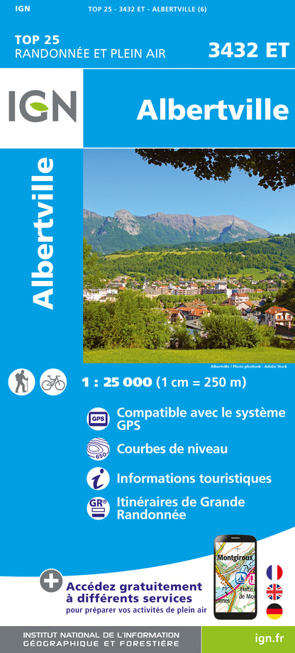
3432ET - ALBERTVILLE
Editor : IGN
Collection : TOP 25 ET SÉRIE BLEUE
Scale : 1:25 000
13.90€
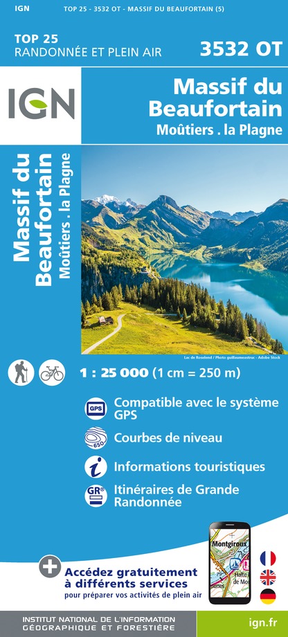
3532OT - MASSIF DU BEAUFORTIN MOUTIERS LA PLAGNE
Editor : IGN
Collection : TOP 25 ET SÉRIE BLEUE
Scale : 1:25 000
13.90€

TOP75004 - BEAUFORTAIN MASSIF DU MONT BLANC
Editor : IGN
Collection : TOP 75
Scale : 1:75 000
9.80€

TOP75032 - CHAINE DES ARAVIS - MASSIF DES BAUGES
Editor : IGN
Collection : TOP 75
Scale : 1:75 000
9.80€

TOP100D74 - HAUTE-SAVOIE ANNECY THONON-LES-BAINS MASSIF DU MONT BLANC CHAÎNE DES ARAVIS
Editor : IGN
Collection : TOP 100
Scale : 1:100 000
8.40€

TOP100D73 - SAVOIE CHAMBÉRY ALBERTVILLE PARC NATIONAL DE LA VANOISE PNR DU MASSIF DES BAUGES
Editor : IGN
Collection : TOP 100
Scale : 1:100 000
8.40€

202 JURA ALPES DU NORD
Editor : IGN
Collection : TOP 200
Scale : 1:200 000
6.80€

D38 ISÈRE
Editor : IGN
Collection : CARTES DÉPARTEMENTALES IGN
Scale : 1:150 000
5.90€

NR15 AUVERGNE-RHÔNE-ALPES RECTO/VERSO MASSIF ALPIN
Editor : IGN
Collection : CARTES RÉGIONALES IGN
Scale : 1:250 000
6.80€

NR14 AUVERGNE-RHÔNE-ALPES RECTO/VERSO MASSIF CENTRAL
Editor : IGN
Collection : CARTES RÉGIONALES IGN
Scale : 1:250 000
6.80€

SUISSE
Editor : IGN
Collection : DÉCOUVERTE DES PAYS DU MONDE IGN
Scale : 1:303 000
7.00€

EUROPE
Editor : IGN
Collection : DÉCOUVERTE DES PAYS DU MONDE IGN
Scale : 1:2 500 000
7.00€
Description
This Beaufortain tour lasts 6 to 8 days (140 km), from June till September.
In its classic version, the Beaufortain tour starts from Queige, then go to Les Saisies, le col du Joly, the Seizures, the collar of Joly, le col du Bonhomme, Presset lake, Saint-Guérin…
Technical Information
Walking
Difficulty
Not specified
Dist.
105 km
Type of practice
Walking
Show more
Altimetric profile
Starting point
Massif du Beaufortain
,
73720
Queige
Lat : 45.707543Lng : 6.462257
Points of interest


Additional information
Environments
Forest location
Mountain location
Updated by
Communauté d'agglomération Arlysère - 26/06/2025
www.lebeaufortain.com
Report a problem
Contact
Phone : 04 79 10 48 48
Website : http://www.arlysere.fr
Animals
Yes
Data author

Ratings and reviews
To see around