Alert
Alerts
Circuit de l'Albanais - Cycling circuit
Description
A lovely pastoral circuit that takes you over the Pont de l'Abîme.
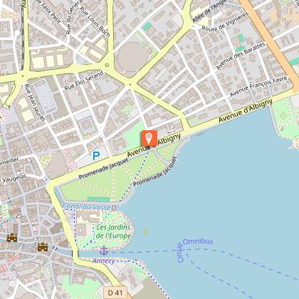
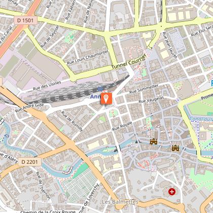
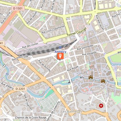
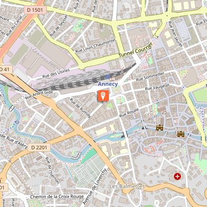
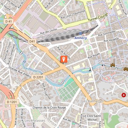
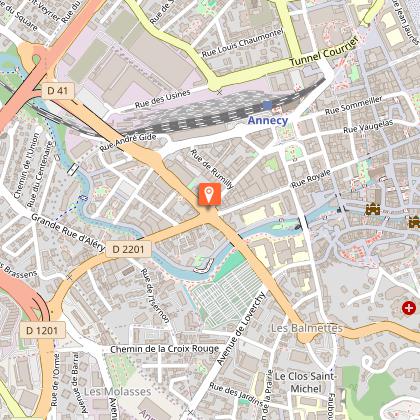
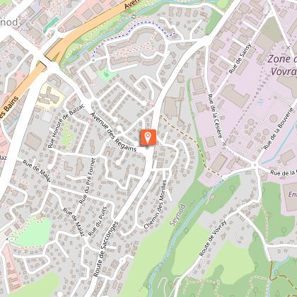
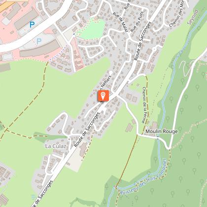
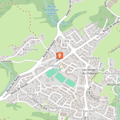
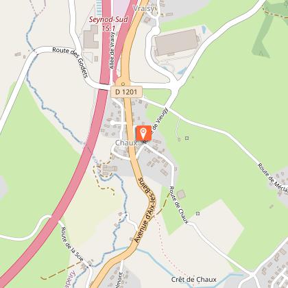
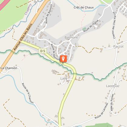
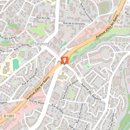
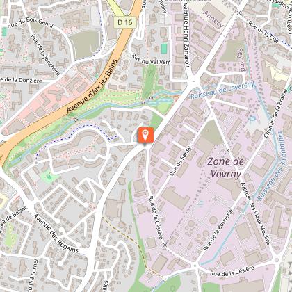
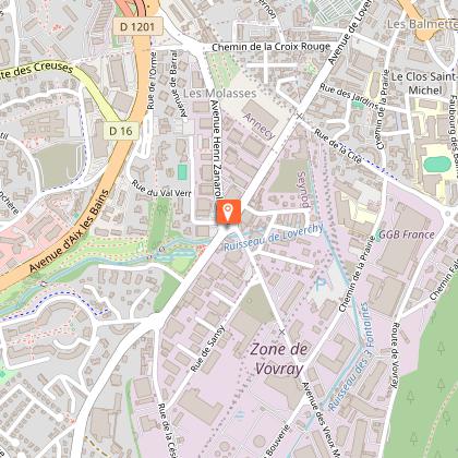
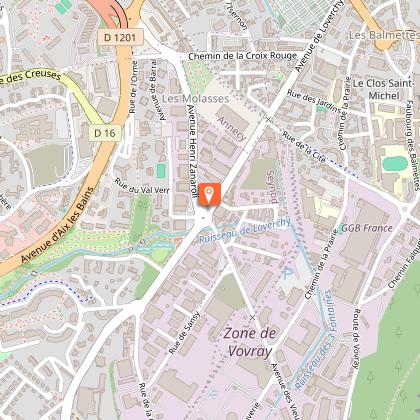
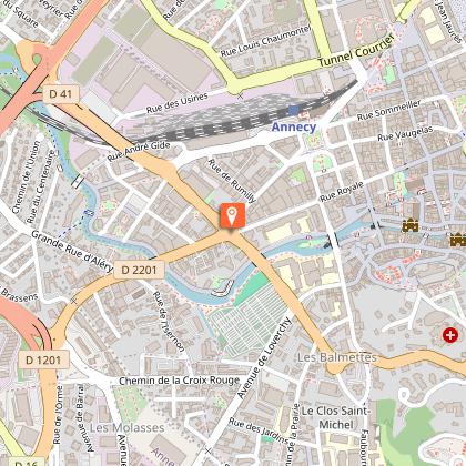
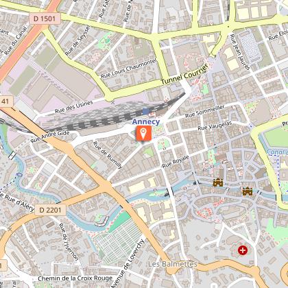
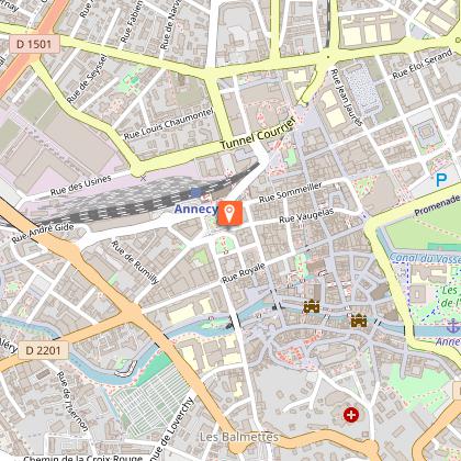
Departure point / TER: Annecy
Length: 74 km
Difficulty: red
Total ascent: 620 m
Direction: clockwise
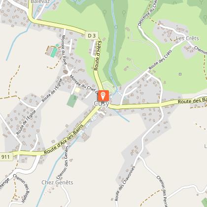
Landmarks and connections: Cusy (continuation to Aix-les Bains via route no. 51); Rumilly (possible connections with routes 12, 13, 14 and 15)
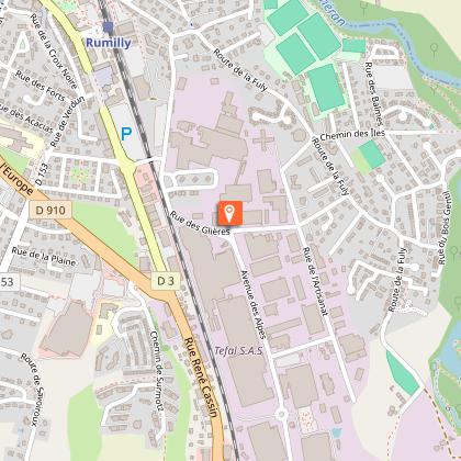
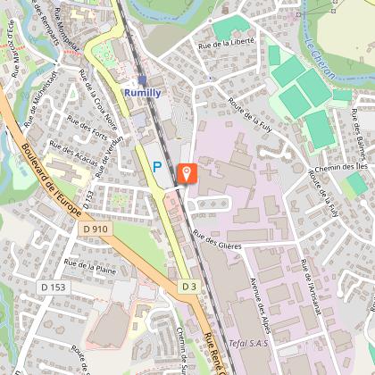
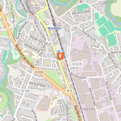
TER station: Rumilly (with possible return train to Annecy)
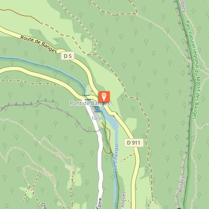
Please note that the Pont de l'Abime is currently closed until summer 2027. To complete this loop, after Gruffy, follow the signs for Allèves, cross the Chéran at the Pont de Banges, then head back in the direction of Cusy.
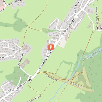
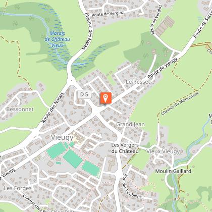
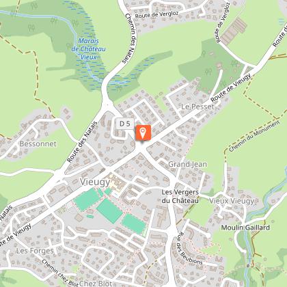
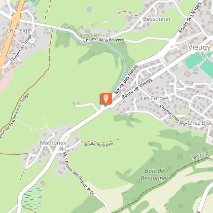
To reach the famous Pont de l'Abîme, first take the D5 from Annecy (ZI du Vovray, route de Vieugy). You'll then follow the rolling hills of the Semnoz, on the edge of the Massif des Bauges regional nature park, until you cross the Chéran torrent at a height of almost 100 metres, with a view of the Tours Saint-Jacques, astonishing isolated cliffs overlooking the gorge. Pictures to be taken!
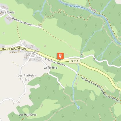
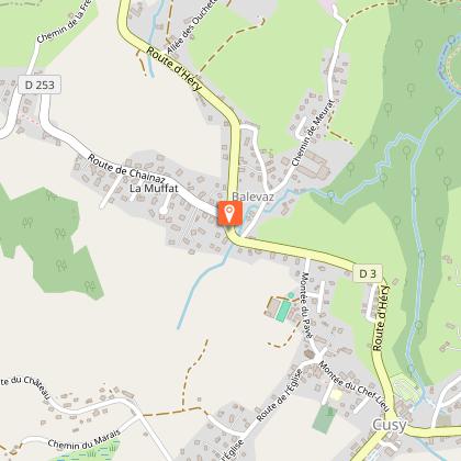
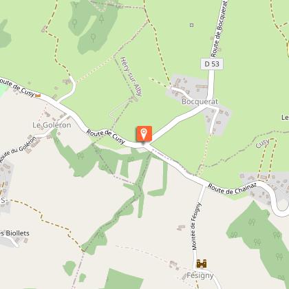
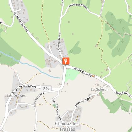
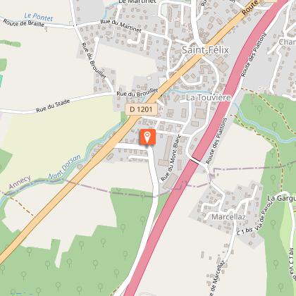
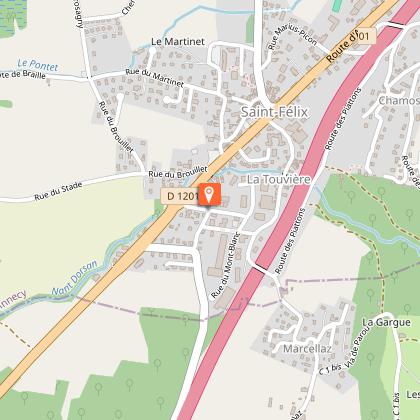
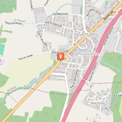
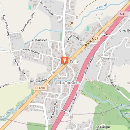
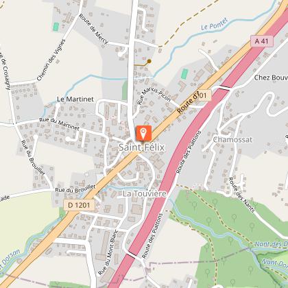
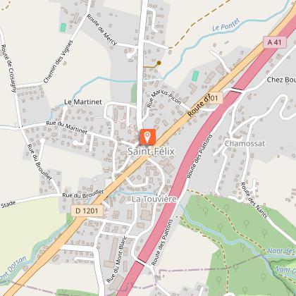
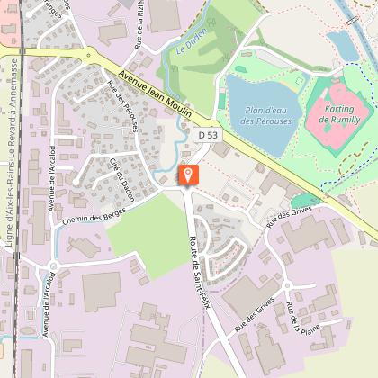
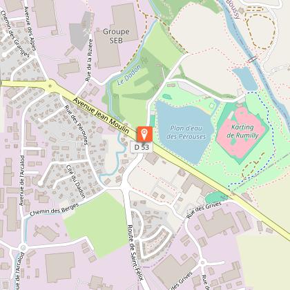
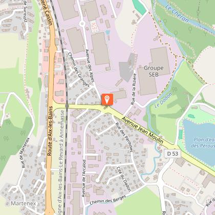
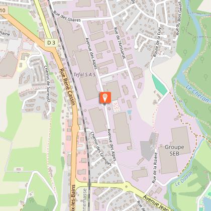
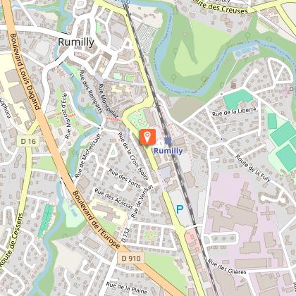
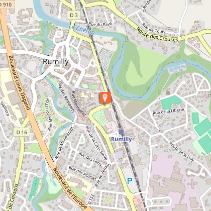
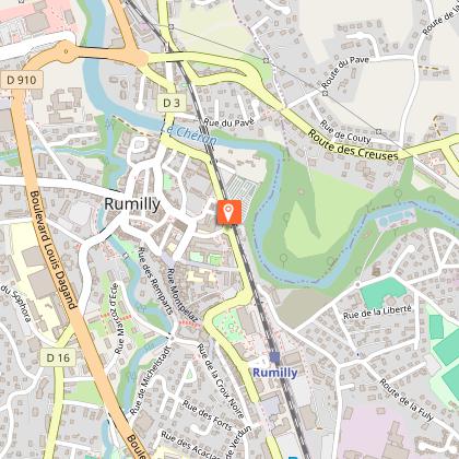
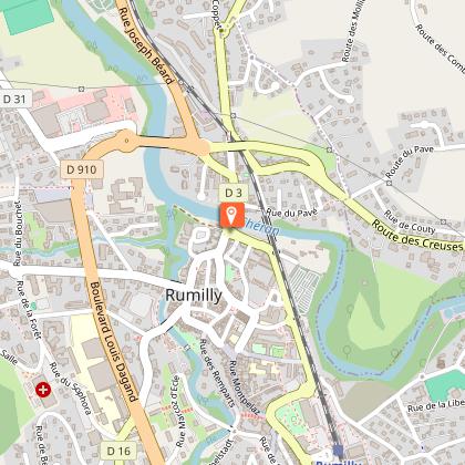
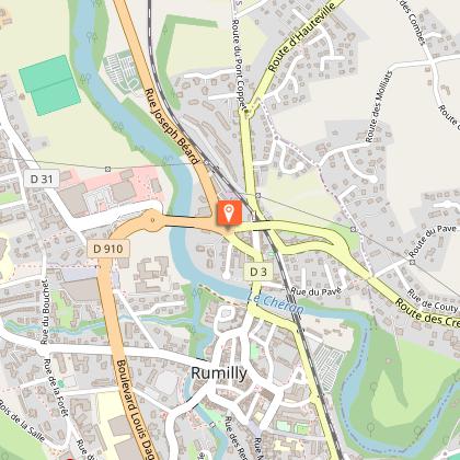
Past the village of Cusy, you'll have the pleasure of crossing a small, easy pass, the Goléron, before descending rapidly into the heart of the Albanais region. Crossing the national road at St-Félix requires a little caution. The quiet départementale 53 then takes you to the outskirts of Rumilly, home of the Téfal factories since 1961 (with factory outlet!). Once you've reached the Place d'Armes, you'll be directed to Rue du Pont Neuf. But it would be a shame to follow the signs without discovering the town! Turn left into Place de l'Hôtel de Ville with its arcades. From there, stroll with bike in hand through the little streets and squares with their Renaissance facades. You're sure to find a welcoming terrace for a break!
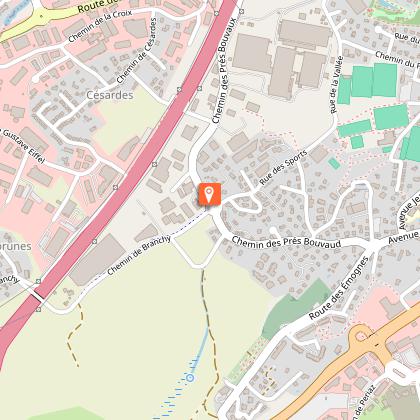
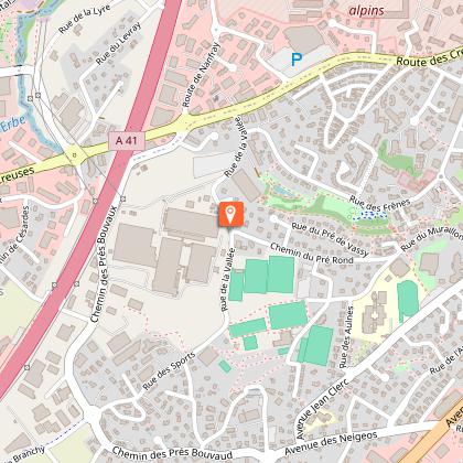
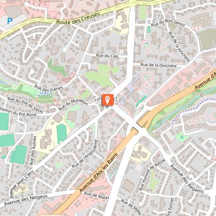
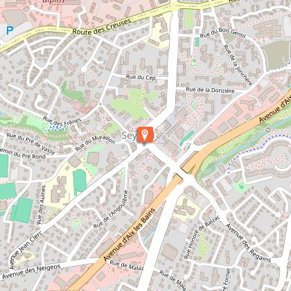
You'll return on the D16, known as the Route des Creuses, where you'll need to keep your wits about you until you reach the hairpin bends crossing the stream of the same name. After a second winding valley, at the first roundabout you'll be directed to Annecy via the quiet lanes of the Seynod commune.
Technical Information
Altimetric profile
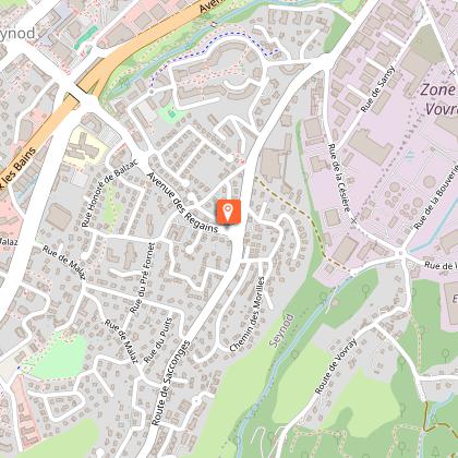
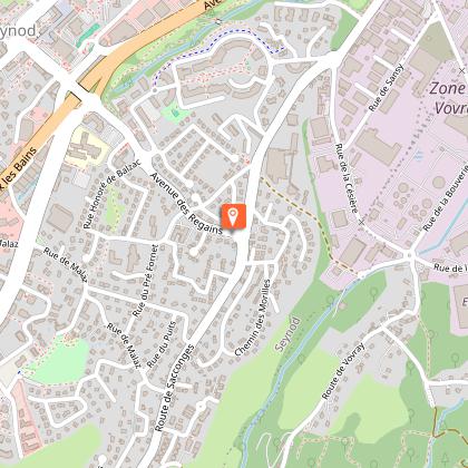
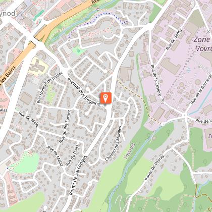
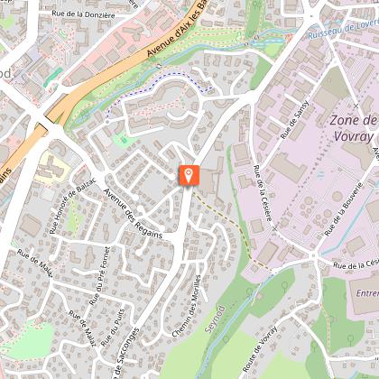
Starting point
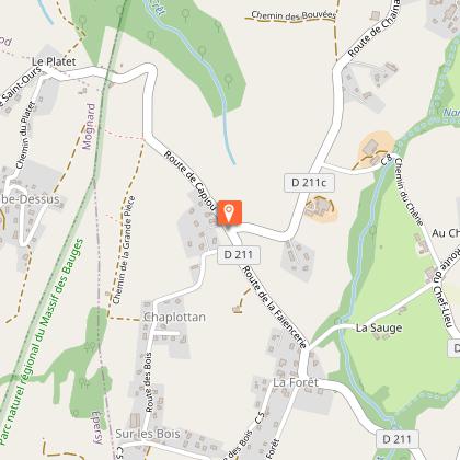
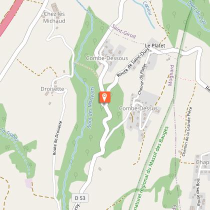
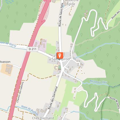
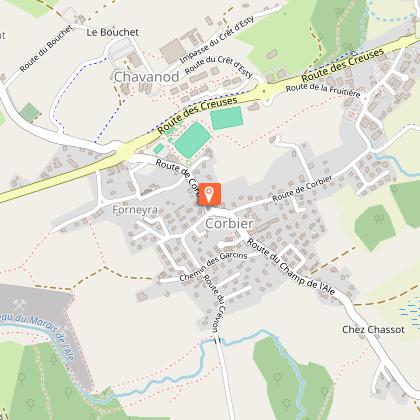
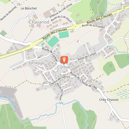
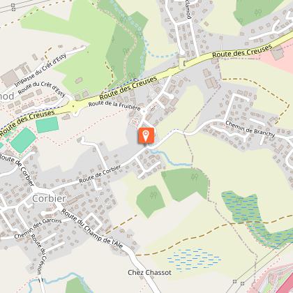
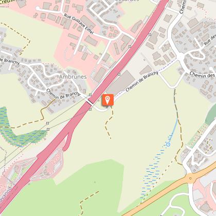
Steps


Additional information
Updated by
Conseil Départemental de la Haute-Savoie - 08/07/2026
hautesavoiemontblanc-tourisme.com/
Report a problem
Open period
From 01/01 to 31/12.
Contact
Phone : 04 50 45 00 33
Email : info@lac-annecy.com
Website :
https://www.lac-annecy.com
https://hautesavoiemontblanc-tourisme.com/
Facebook : https://www.facebook.com/lacannecy.tourisme
Location complements
Car Park: Préfecture
Data author
