Alert
Alerts
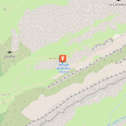
Walking itinerary: Refuge de Bostan
Description
This hike takes you through mountain pastures to the Bostan hut.
Starting altitude: 1,096 m
Finishing altitude: 1,769 m
Particular difficulties: none
Itinerary for guidance only.
Technical Information
Altimetric profile
Starting point
Points of interest

Date and time
- From 11/06/2026 to 11/09/2026
- From 11/06/2027 to 11/09/2027
Additional information
Updated by
Office de Tourisme de Samoëns - 16/05/2026
www.samoens.com
Report a problem
Environments
Mountain view
Mountain location
Open period
From 11/06 to 11/09 daily.
Contact
Phone : 04 50 34 40 28
Email : nordic.hg@orange.fr
Website : http://www.valleeduhautgiffre.fr
Type of land
Stone
Ground
Not suitable for strollers
Topo guides and map references
Topo guides references :
Topo ‘50 randonnées en vallée du haut giffre’ Patrice Gain, on sale in the valley's shops.
Map references :
IGN TOP 25 - 3530 ET Samoëns map - on sale at the tourist office and in shops. Montagnes du Giffre hiking map - CCMG - on sale at the tourist office.
Animals
Yes. Pets are allowed on this hiking trail, but must be kept on a leash.
Data author
