Alert
Alerts
Walking itinerary - Tour du Haut Giffre on foot
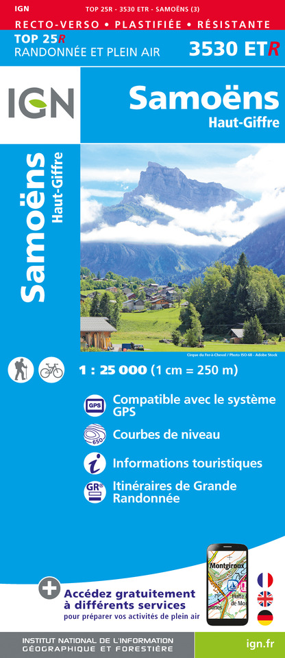
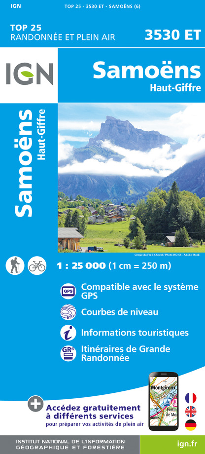
IGN cards


Description
This superb tour combines several hikes set out in the guide published by the Upper Giffre association.
It enables you to explore all the facets of the Upper Giffre: the valley, its history and its population, the forests, the mountain pastures, and the mountain trails that provide some splendid panoramic views. The tour takes 6 or 11 days to complete and is intended for experienced hikders.
Starting altitude: 1,691m
Finishing altitude: 1,770 m
Particular difficulties: none
Recommended period June to the first snowfalls.
Itinerary for guidance only.
Technical Information
Altimetric profile
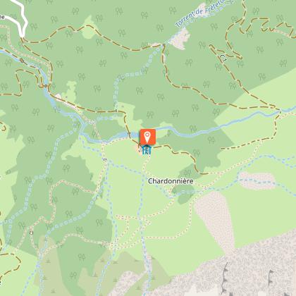
Starting point
Points of interest


Date and time
- From 01/07/2026 to 31/08/2026
- From 01/07/2027 to 31/08/2027
Additional information
Open period
From 01/07 to 31/08 daily.
Subject to favorable weather.
Updated by
Office de Tourisme de Samoëns - 03/01/2026
www.samoens.com
Report a problem
Environments
Overview on river
Contact
Email : nordic.hg@orange.fr
Website : http://www.valleeduhautgiffre.fr/randonn%C3%A9e/les-tours/tour-du-haut-giffre/
Type of land
Rock
Stone
Ground
Not suitable for strollers
Location complements
When arriving from Morillon on the D4, cross the bridge over the Giffre and turn right at the roundabout.
Topo guides and map references
Topo guides references :
Guide reference: Upper Giffre valley ramblers' guide.
Map references :
TOP25 IGN 3530 ET
Tricky passages
Air crossings equipped with cables.
Animals
Yes
Data author
