Alert
Alerts
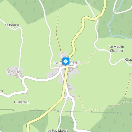
Le rocher des Cheirs - PR n°1
Description
A route with a variety of landscapes, the upper part of which, at an altitude of 700m, is very airy and offers views as far as the Puys range.
The Rocher des Cheirs rises 789 meters above the Theux and Terrasson valleys. Here you'll find two streams that are tributaries of the Sichon, as well as a huge coniferous forest that is home to numerous bird species, including the Tengmalm's owl.
Technical Information
Altimetric profile
Starting point
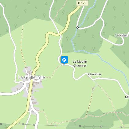
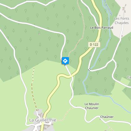
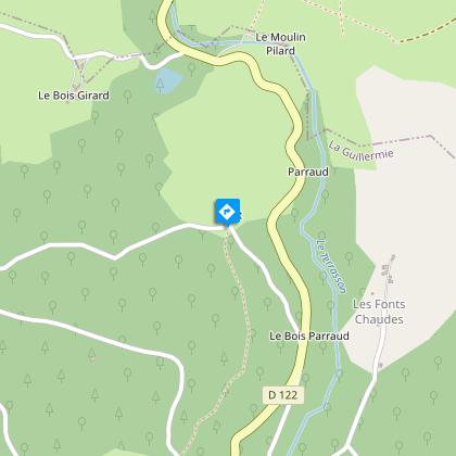
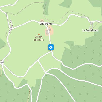
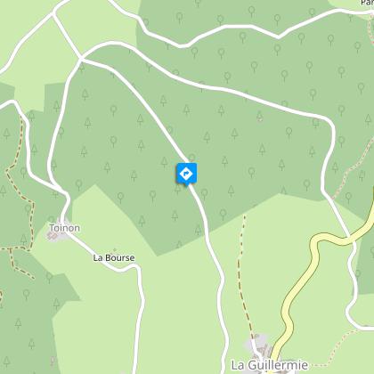
Steps

Additional information
Updated by
Vichy Destinations - 22/06/2026
www.vichymonamour.fr
Environments
Mountain view
Forest location
In the country
Distinctions
Listed PDIPR
Open period
All year round daily.
Contact
Phone : 04 70 59 38 40
Email : contact@vichydestinations.fr
Website : http://www.vichymonamour.fr
Type of land
Stone
Ground
Hard coating (tar, cement, flooring)
Grit
Not suitable for strollers
Animals
Yes
Data author
