Alert
Alerts
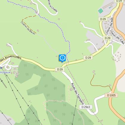
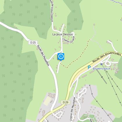
Tour of the Cressonnières

The Cirkwi brief
Embark on a stunning journey through the lush valleys of Prémanon, guided by the Tour des Cressonnières. This route, designed by the Office de Tourisme de la Station des Rousses, promises breathtaking views of the Fort des Rousses and an unforgettable tour of the Bief de la Chaille valley. While pedaling across an 8km circuit, you'll be enveloped in the serene ambience that only this pristine region can offer. It's the perfect mixture of physical challenge and scenic beauty, ideal for those looking to enrich their travel experience with the essence of the Jura Mountains.
Brief Technical Overview
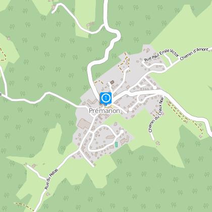
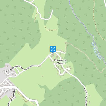
The Tour des Cressonnières, suitable for mountain biking enthusiasts, spans approximately 8.1 kilometers, starting from Prémanon. Riders will encounter a total elevation gain of about 259 meters, navigating between altitudes of 1010 and 1158 meters above sea level. This circuit, combining moderate climbs and descents, challenges and rewards in equal measure, making it a well-rounded experience for intermediate cyclists.
Seasonal Advice and Tips
For the best experience on the Tour des Cressonnières, Spring and early Autumn are ideal, offering mild temperatures and the vibrant colors of nature. Regardless of the season, it's crucial to wear appropriate gear; helmets are a must, and layered clothing is advised to adjust to changing conditions. Always check your bike's readiness and carry water and snacks. Finally, respect the trail and its natural surroundings to ensure its preservation for future adventurers.
Exploring Prémanon's Rich Heritage
Located in the heart of the Jura department, Prémanon is a gem within the larger Pays de Gex and Hautes Jura area. It's not just the natural beauty that captivates visitors, but also its profound historical resonance. From ancient times through to the strategic military significance of Fort des Rousses, the town and its surroundings tell a tale of survival and cultural evolution. This tour not only offers a physical journey but also an opportunity to connect with the rich tapestry of France's historical narrative.
Climate Insights for Prémanon
The Jura region, home to Prémanon, experiences a continental climate with distinct seasons. Winters are cold and snowy, making late spring through to early autumn the ideal periods for outdoor activities like mountain biking. July and August, while warmer, can also bring occasional showers, so always be prepared with waterproof gear. The best visiting times are May, June, and September, when the weather is generally pleasant and the landscapes are at their most vibrant.