Alert
Alerts
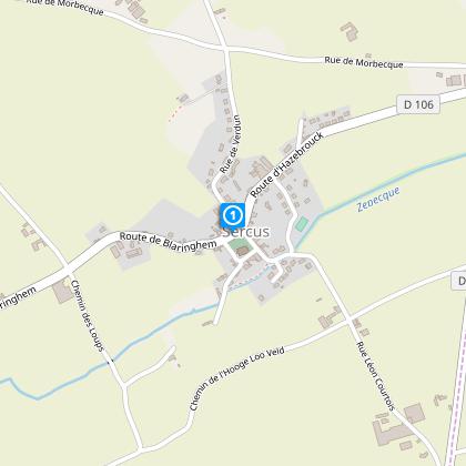
Saint-Erasme Circuit


The Cirkwi brief
Imagine walking through gently rolling hills, surrounded by the tranquil beauty of nature at every turn. This is exactly what the Saint-Erasme circuit in Sercus offers, crafted by Nord Tourisme for those eager to explore at a leisurely pace. Perfect for families, this pathway unwinds through picturesque landscapes, easily navigable throughout the year. Though caution is advised at certain road crossings, the route rewards with its accessibility and the serene ambiance of agricultural trails, especially after rain. This trail is an invitation to connect with the environment and experience the quiet charm of Sercus.
Essential Technical Insights
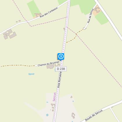
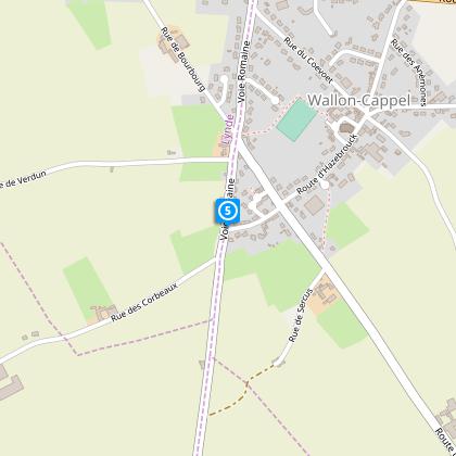
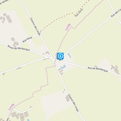
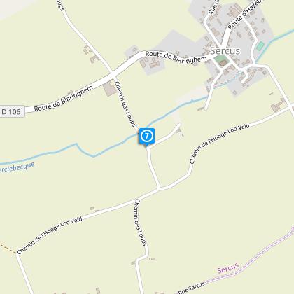
Spanning a distance of 7.743 km, the Saint-Erasme circuit presents an elevation range between 46 to 69 meters. The route, marked with a minimal positive and negative elevation change of 45 meters, ensures an enjoyable walk without any strenuous climbs. Suitable for walkers of all levels, the path crosses various terrains, including agricultural roads which may require waterproof footwear during rainy periods. The careful crossing of RD 238 is the only point of caution in an otherwise smooth and accessible journey.
Seasonal Tips and Safety Guide
Throughout the year, the Saint-Erasme circuit remains a delight for explorers. In spring and summer, the flourishing nature adds a vibrant touch of green, making these seasons ideal for nature photography. However, during these periods, waterproof shoes are highly recommended as the paths can become muddy. In autumn and winter, the trail presents a different kind of beauty, though visitors should dress warmly and remain vigilant of slippery paths. Regardless of the season, crossing the RD 238 demands attention for safety.
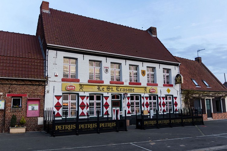
Historic Sercus: A Cultural Journey
Sercus, with its quaint village square starting point, is a treasure trove of cultural and historical gems. Nestled within the scenic landscapes of Nord-Pas-de-Calais, its history weaves into the fabric of the region. The Saint-Erasme circuit offers not just a walk through nature, but a journey through time. This path invites travelers to step into a past filled with rich traditions and stories waiting to be discovered, adding depth to the physical walk with tales of the area's heritage.
Weather Patterns and Best Visit Times
The region around Sercus enjoys a temperate climate, characterized by mild winters and pleasant summers. Rainfall is distributed evenly throughout the year, making the Saint-Erasme circuit accessible in all seasons. However, for those looking to make the most of their visit, late spring to early autumn offers the best weather conditions, with less likelihood of muddy trails and more daylight to enjoy the serene landscapes. Always check the local forecast before planning your trip to ensure the best experience.