Alert
Alerts
Type of practice
Walking
Very easy
2h30mn
Presentation
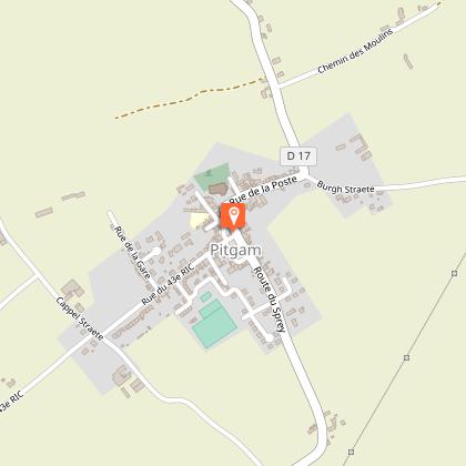
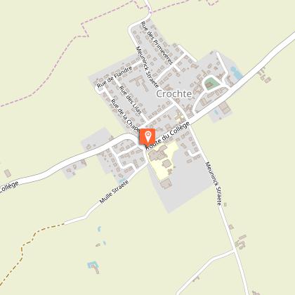
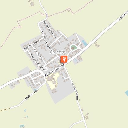
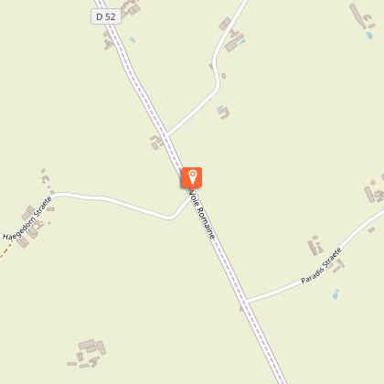
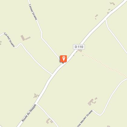
Map
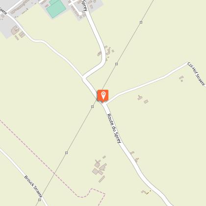
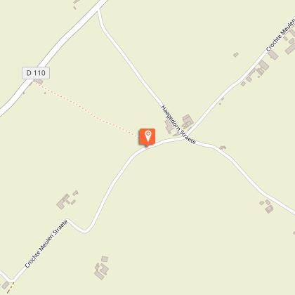
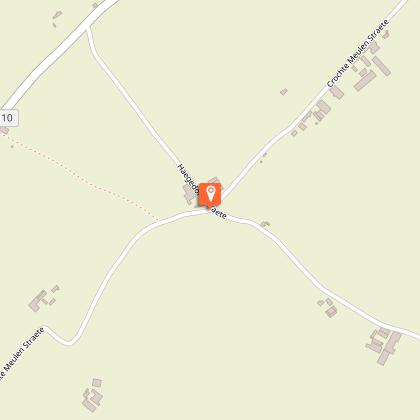
Steps
Points of interest
Cirkwi brief's
Ratings and reviews
See around
Mill den leeuw and bread circuit


Credit : Département du Nord
The Cirkwi brief
Discover Flanders Windmills and Bread Trail
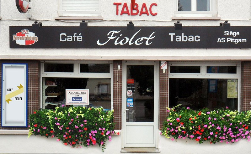
Embarking on the Windmill and Bread Trail, crafted by Nord Tourisme, presents an adventure into the rare beauty of one of Flanders' last standing windmills against a backdrop of an ancient maritime embankment. The trail weaves through landscapes that, while picturesque, caution adventurers with its potentially boggy passages during the rainy seasons. This invitation to explore promises more than just a walk; it's a journey into the heart of local tradition and history, warm welcomes at Café Fiolet Béatrice, and the unique charms of rural France. Strap on your waterproof boots; a captivating blend of culture and nature awaits.
A Detailed Technical Overview
This trail spans 16.066 kilometers, dotted with points of interest that enrich the journey. With altitudes ranging from 6 to 40 meters, the route offers a mild elevation gain of approximately 141 to 142 meters, making it accessible yet engaging. The topographical variation gifts walkers with both serene flatlands and gentle hillsides, presenting a low to moderate physical challenge. This meticulously designed path by Nord Tourisme ensures a fulfilling adventure for enthusiasts seeking to balance leisurely strolls with moments of mild exertion.
Seasonal Tips for Trail Wanderers
Regardless of when you decide to undertake this journey, remember: preparation is key. In spring and fall, the trail can be quite damp, so waterproof footwear is essential. Summer offers long, bright days perfect for leisurely walks, but don't forget sunscreen and plenty of water. Winter, while crisp and beautiful, may require warmer attire and perhaps even gaiters to keep the cold at bay. Year-round, ensure to check the weather before departing and always let someone know your route. Safety first, as they say, but always make room for enjoyment.
The Heart of Pitgam and Flanders
Pitgam, a quaint village nestled in the Flanders region, stands as a testament to the enduring spirit and rich cultural tapestry of Northern France. The trail highlights not only the physical beauty of the region but also its historical significance. From centuries-old windmills to the ancient maritime embankments, each step along this path is a walk through history. The Flanders region, known for its flat landscapes and agricultural prowess, has long played a crucial role in not just France's, but Europe's economic and cultural development.
Climate Insights for Flanders Travelers
The Flanders region experiences a temperate maritime climate, characterized by mild winters and cool summers. Precipitation is fairly evenly distributed throughout the year, though late spring through early fall presents the most favorable weather conditions for hiking and outdoor activities. To fully enjoy the Windmill and Bread Trail, visiting between May and September is recommended. During these months, the weather is generally pleasant, with lower chances of rain interrupting your explorations. Always check the specific forecast for Pitgam before setting out, as conditions can vary.
Automatically generated.
Technical Information
Walking
Difficulty
Very easy
Duration
2h30mn
Dist.
16 km
Type of practice
Walking
Very easy
2h30mn
Show more
Altimetric profile
Starting point
parking mairie
,
PITGAM
Lat : 50.9192838022Lng : 2.36098607272
Steps
Data author

Ratings and reviews
To see around