Alert
Alerts
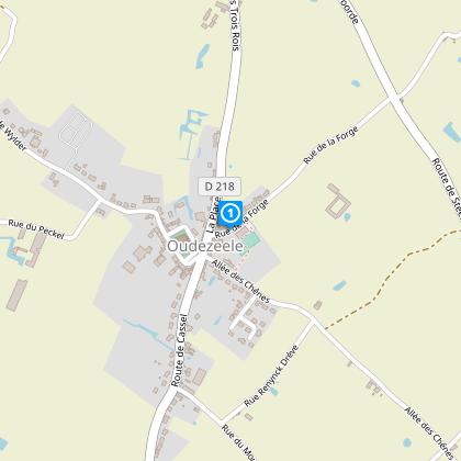
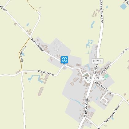
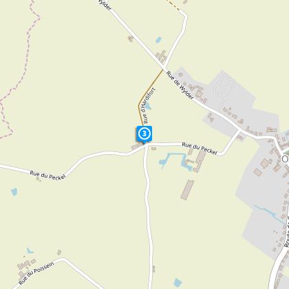
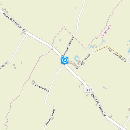
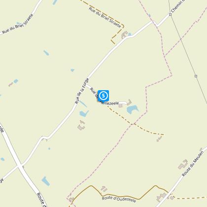
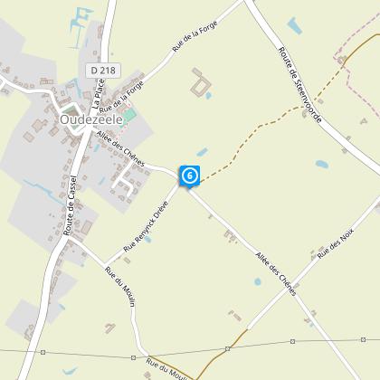
Hawthorn Circuit


The Cirkwi brief
Imagine a path where every step takes you through the lush landscapes and rich heritage of Oudezeele. This journey, curated by Nord Tourisme, is more than just a walking trail; it's an invitation to explore the heart of the countryside. The Circuit de l'Aubépine does not only cater to avid walkers but promises an enchanting experience for anyone willing to discover its secrets. With a backdrop of picturesque bocage and monumental sites, the route offers a unique blend of nature and culture, making every moment along the way memorable.
Essential Guide: Key Info and Stats
Spanning approximately 8.96 km, the Circuit de l'Aubépine ascends to a modest altitude of 35 meters at its zenith, with the lowest elevation marked at 16 meters. The journey's gentle grade, featuring a total positive elevation change of 22 meters, accommodates walkers of all levels. This meticulously designed itinerary, through varying terrains, underscores the significance of preparation, notably with water-resistant footwear during wet seasons, ensuring a comfortable and enjoyable exploration.
Seasonal Tips for Circuit Adventurers
Embarking on the Circuit de l'Aubépine is a delightful experience any time of the year. However, to enhance your journey, consider choosing spring for the blossoming flora and cool temperatures. Summers are perfect for late evening walks, taking advantage of the extended daylight. Autumn brings a palette of colors transforming the landscape into a picturesque canvas, while winters, albeit colder, offer a serene, crowd-free experience. Regardless of the season, ensuring appropriate gear, particularly waterproof footwear in rainier months, is essential for a pleasant trip.
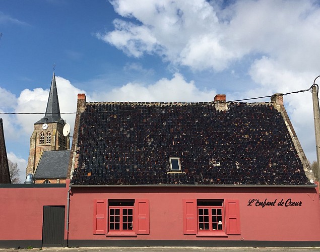
Oudezeele: Gateway to Cultural Heritage
Oudezeele, set in the heart of a bountiful landscape, is more than just a starting point for the Circuit de l'Aubépine; it is a living museum of history and culture. Nestled within the region of Nord-Pas-de-Calais, the area boasts a significant historical tapestry that dates back to ancient times. The region's strategic importance through the ages has left a rich heritage, from medieval architecture to the poignant reminders of wartime resilience. Exploring Oudezeele offers a unique opportunity to connect with the past, understanding the land and its people through time.
Weather Insights for Optimal Visits
The climate in Oudezeele, typical of Nord-Pas-de-Calais, is characterized by mild, temperate weather, making it suitable for outdoor activities year-round. Optimal visit times are late spring through early autumn, when rainfall is less frequent, and the temperatures are pleasantly warm. Despite this, the area's weather can be unpredictable; thus, consulting weather forecasts in advance and preparing for sudden changes is always wise. This careful planning ensures the Circuit de l'Aubépine can be enjoyed to its fullest, regardless of the season.