Alert
Alerts
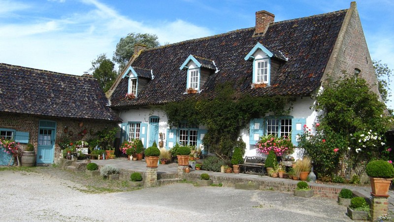
The hike of the lords


The Cirkwi brief
Embark on an enchanting journey through the heart of Winnezeele with the "La rando des seigneurs" trail, designed by Nord Tourisme. This trek is an invitation to immerse yourself in the serenity and charm of the rural landscape that sprawls across this region, offering a tapestry of delightful hamlets and varied scenery. Ideal for those seeking solace in nature's embrace, this circuit promises a rewarding experience for both seasoned hikers and casual explorers. The essence of this walk lies not just in reaching the destination but in cherishing the picturesque voyage through France’s captivating countryside.
Your Trail Technical Breakdown
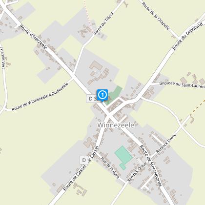
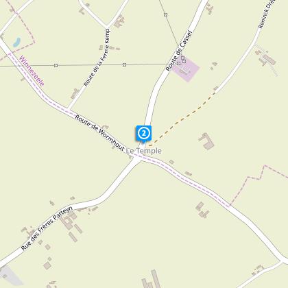
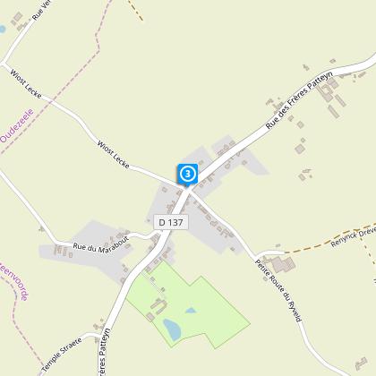
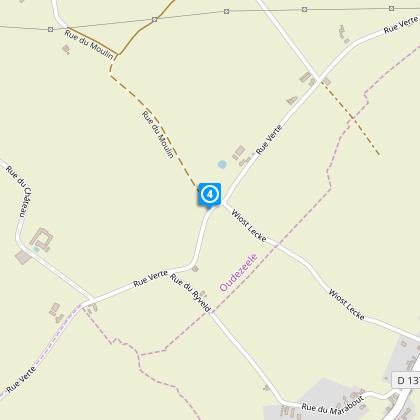
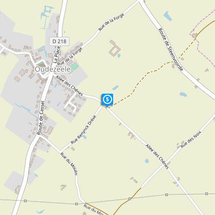
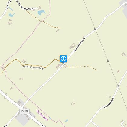
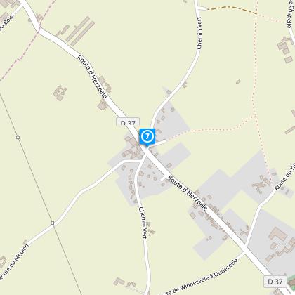
The "La rando des seigneurs" encompasses a total distance of 11.73 kilometers, starting from Rue des abbés Persyn Parking de l'église. Participants can expect an altitude variation with a minimal elevation of 17 meters and peaking at 65 meters. The route offers a marginal positive elevation change of 1 meter, which suggests a relatively smooth trail suitable for most fitness levels. While the journey promises varied landscapes, preparedness for slightly muddy passages during wet conditions is advisable.
Seasonal Tips for Trail Adventurers
For those planning to conquer "La rando des seigneurs", your journey through Winnezeele will be unforgettable if you prepare well. Spring to early autumn, particularly from April to September, offers the most pleasant weather for your expedition. Waterproof footwear is essential, especially after rains, to navigate any muddy stretches comfortably. Always carry water and sunscreen, regardless of the season, and ensure your mobile phone is charged for emergencies. Staying informed about the weather and wearing appropriate attire will enhance your hiking experience.
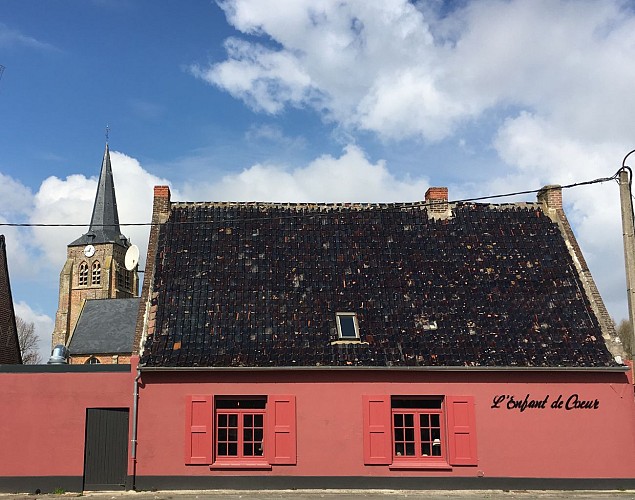
Winnezeele: A Glimpse into Its Spirit
Located in the Nord department of France, Winnezeele is steeped in rich history and culture that transcends mere aesthetic beauty. This quaint village, serving as the starting point for "La rando des seigneurs", illustrates a vibrant blend of Flemish influence and French heritage. It offers explorers a unique opportunity to tread through landscapes that have borne witness to centuries of history, encapsulating the essence of rural France. The area's historical significance and natural beauty make it a compelling destination for enthusiasts and scholars alike.
Weather Insights for Your Hiking Calendar
The region surrounding Winnezeele presents a temperate maritime climate, characterized by mild winters and warm summers. Rainfall is spread throughout the year, with the likelihood of wetter conditions from October to March. For an optimal hiking experience, the period between April and September is considered ideal, thanks to its pleasant temperatures and reduced precipitation. This window not only ensures comfortable walking conditions but also treats hikers to the vibrant hues of the landscape’s seasonal transformation.