Alert
Alerts
Type of practice
Walking
Easy
3h
Presentation
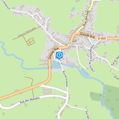
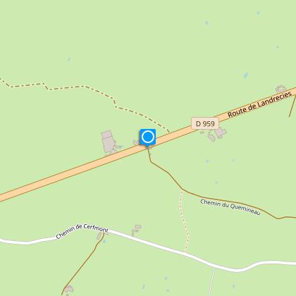
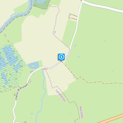
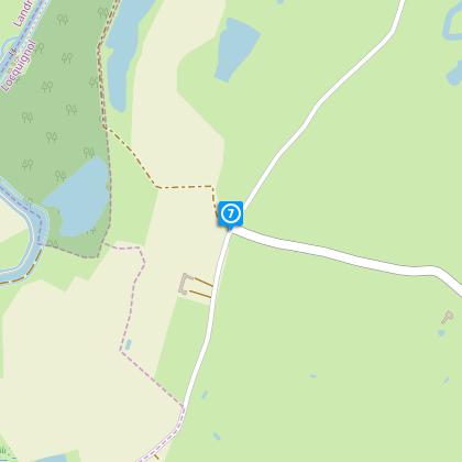
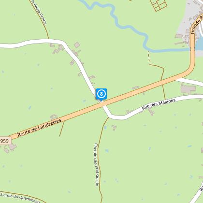
Map
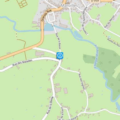
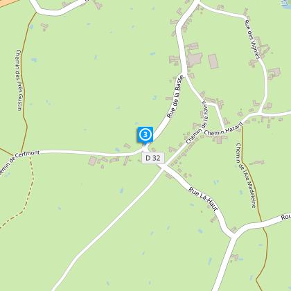
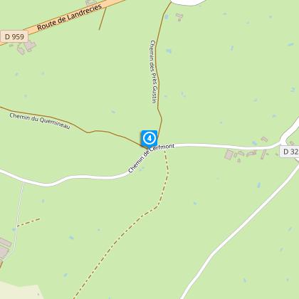
Steps
Points of interest
Cirkwi brief's
Ratings and reviews
See around
Buttercup Circuit


Credit : Département du Nord
The Cirkwi brief
Discover the Enchanting Maroilles Trail: A Journey Through Heritage
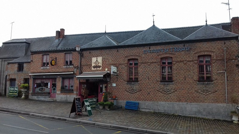
Delving into the captivating landscape of Maroilles, the Circuit des Renoncules offers more than just a leisurely stroll; it's a passage through the heart and soul of the Thiérache region. Crafted by Nord Tourisme, this route enchants with a serene blend of greenery, dotted with poignant pieces of local heritage such as ancient farms, a water mill, and quaint chapels. Imagine wandering through a painting, where every step brings a new stroke of history and natural beauty to light. This path is not just about the walk, it's an invitation to indulge in the folklore and flavors of Avesnois, capped with a mandatory relaxation stop at the Café-Rando, Les Caves de l’Abbaye.
Essential Trail Data: Details at a Glance
Spanning a total distance of approximately 7.9 kilometers, the Circuit des Renoncules oscillates between altitudes of 132 and 162 meters, presenting an undemanding positive elevation change of 31 meters. The layout is primed for walkers, embracing the serenity of Maroilles’s countryside roads. The metrics distilled from this terrain reveal a trail comfortably nestled within the capabilities of casual hikers and seasoned walkers alike, offering a modest challenge that pays off with rewarding vistas and heritage sites.
Seasonal Tips and Safety Measures
Embarking on the Circuit des Renoncules demands respect for the terrain and the weather patterns. In spring, the newly blossomed flora adds vibrant colors to your hike, although paths can be muddy – sturdy footwear is advised. Summer promises lush landscapes but requires protection against the sun and hydration. Autumn brings a picturesque palette of colors, ideal for photography enthusiasts, but also slippery leaves. Winter, though serene, necessitates caution for icy patches. Above all, respect the local environment and its history by staying on marked trails and preserving the natural setting for future visitors.
Maroilles: A Tapestry of Culture and Tradition
Maroilles, nestled in the heart of Thiérache within the Nord department, is not just a starting point for the Circuit des Renoncules; it's a chapter from the rich tapestry of France's cultural and historical narrative. This territory is acclaimed for its bocage landscape, a testament to traditional agricultural practices, and its architectural heritage, including the famed Maroilles Abbey. Each step through this region is a stroll through centuries of history, shaped by the hands of monks, farmers, and artisans who have left an indelible mark on the land and the community.
Weather Insights and Ideal Seasons to Visit
The Maroilles region, characterized by a temperate climate, offers distinct experiences across the four seasons. Spring and autumn are marked by mild temperatures and a picturesque display of flora, making them ideal for exploring the trails. Summer provides warm, albeit sometimes rainy conditions, perfect for enjoying the lush greenery. However, visitors should be cautious of occasional showers. Winter is cooler, with occasional frost adding a crisp beauty to the landscape, though it's essential to dress warmly. Overall, the transitional seasons – spring and autumn – present the most favorable conditions for enjoying the full beauty and serene atmosphere of the Circuit des Renoncules.
Automatically generated.
Technical Information
Walking
Difficulty
Easy
Duration
3h
Dist.
7.9 km
Type of practice
Walking
Easy
3h
Show more
Altimetric profile
Starting point
Parking maison du parc
,
59550
MAROILLES
Lat : 50.1291460005Lng : 3.75999946403
Steps
Data author

Ratings and reviews
To see around