Alert
Alerts
Type of practice
Walking
Easy
3h30mn
Presentation
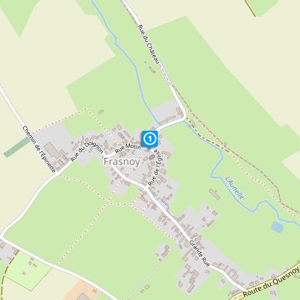
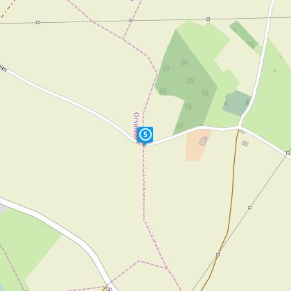
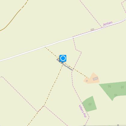
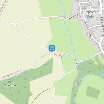
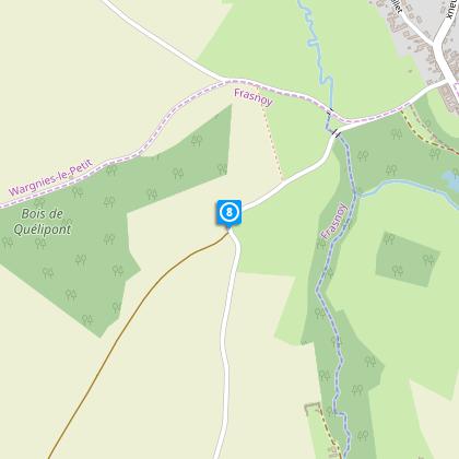
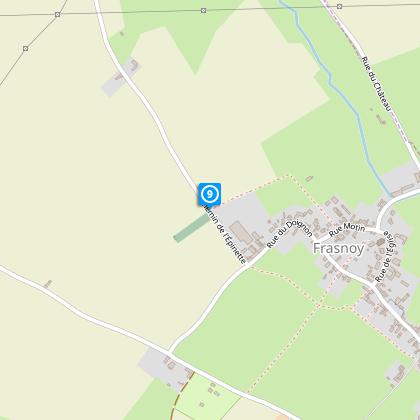
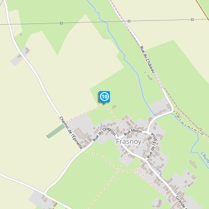
Map
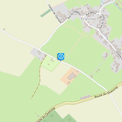
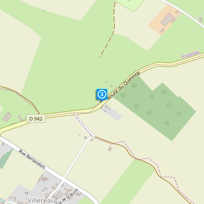
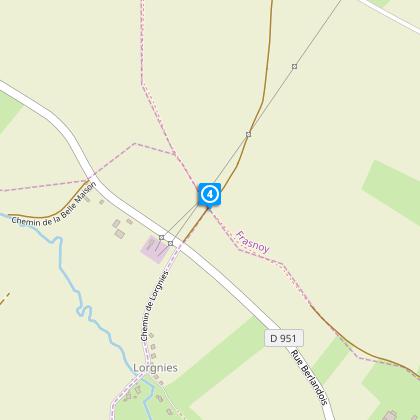
Steps
Cirkwi brief's
Ratings and reviews
See around
Circuit de Saint Ghislain


Credit : Département du Nord
The Cirkwi brief
Discover the Enchanting Scenic Walk of Frasnoy
Crafted by Nord Tourisme, the Circuit de Saint Ghislain is a mesmerizing journey through Frasnoy's lush bocage and cultivated fields. As you wander along small roads and hedged trails, expect to immerse yourself in nature’s tranquility. This scenic walk is not just any routine hike; it is an invitation to explore the serene countryside, characterized by its intimate connection with the land. Nord Tourisme masterfully integrates the essence of the local landscape into this route, providing a delightful escape for those seeking a gentle adventure in the heart of nature.
Brief Technical Overview
The Circuit de Saint Ghislain spans approximately 10.92 km, with the highest elevation point reaching 131 meters and the lowest at 81 meters. This leisurely trek presents a positive elevation change close to 99 meters. As participants traverse RD 942 for a short 400m stretch, additional caution is advised due to vehicular traffic. The general topography and distance make this circuit suitable for hikers of all levels, though some paths may become challenging under rainy conditions, suggesting the need for waterproof footwear.
Seasonal Advice and Safety Tips
Regardless of the season, the Circuit de Saint Ghislain offers diverse experiences. In spring and summer, the paths bloom with vibrant flora, requiring adequate sun protection and hydration. Come autumn, the landscape showcases a palette of colors, though paths may be slippery with fallen leaves. Winter demands caution for potential icy trails; waterproof and warm attire is crucial. Always stay vigilant on the RD 942 section and opt for sturdy, waterproof shoes during rainy periods to navigate muddy paths confidently.
Historic Gems of Frasnoy
Frasnoy and its surroundings, nestled within the rich tapestry of Nord-Pas-de-Calais, boast a profound historical and cultural heritage. This region, marked by centuries of agriculture, has shaped the landscape and lifestyle of its inhabitants. The Circuit de Saint Ghislain not only guides one through nature's beauty but also through the essence of French rural heritage, symbolizing the enduring bond between the land and its people. This trail presents a unique opportunity to tread paths that have witnessed the ebb and flow of history.
Climate Insights and Ideal Visits
Nord-Pas-de-Calais: A Tale of Four Seasons. The region enjoys a temperate climate, with mild summers and cool winters. Rain is a common companion throughout the year, contributing to the lush, green landscapes. For the Circuit de Saint Ghislain, spring, from April to June, and early autumn, from September to October, present ideal conditions. These periods offer favorable weather for hiking, coupled with the natural beauty of blooming or transitioning foliage, making your journey through Frasnoy truly memorable.
Automatically generated.
Technical Information
Walking
Difficulty
Easy
Duration
3h30mn
Dist.
11 km
Type of practice
Walking
Easy
3h30mn
Show more
Altimetric profile
Starting point
59530
FRASNOY
Lat : 50.2898902397Lng : 3.67170526324
Steps
Data author

Ratings and reviews
To see around