Alert
Alerts
Type of practice
Walking
Easy
Presentation
Description
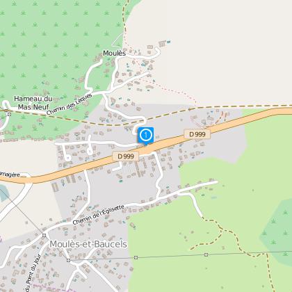
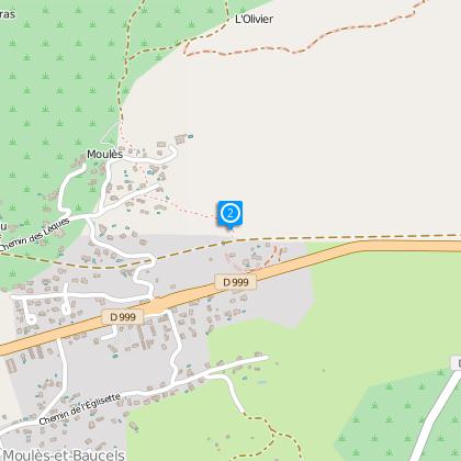
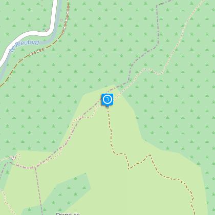
Map
Steps
Ratings and reviews
See around
Le Pâtus

Description
Cliffs and rocky ledges for this walk over the Rieutord Gorges.
A network of around 220 km of trails and paths has been created and signposted. A map guide including this walk above with 31 other additional suggestions for commented circuits, it is available in shops and tourist office of Ganges Sud Cévennes. (price : 5 €).
Technical Information
Walking
Difficulty
Easy
Dist.
7.8 km
Type of practice
Walking
Easy
Show more
Altimetric profile
Starting point
34190
Moulès-et-Baucels
Lat : 43.9448496Lng : 3.734049
Steps
Additional information
TO SEE
- The garrigue on the slopes of the Ranc de Banes.
- The cliffs dominating the Rieutord where birds-of-prey nest.
Data author

proposed by
Office de tourisme Sud Cévennes
Ratings and reviews
To see around