Alert
Alerts
Type of practice
Walking
Very easy
1h15mn
Mountainbiking
Very easy
Riding
Very easy
Presentation
Description
Map
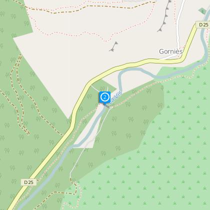
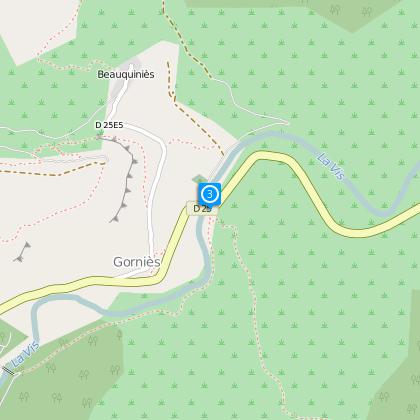
Steps
Ratings and reviews
See around
The banks of the river Vis

Description
A beautiful walk along the transparent waters of the River Vis.
A network of around 220 km of trails and paths has been created and signposted. A map guide including this walk above with 31 other additional suggestions for commented circuits, it is available in shops and tourist office of Ganges Sud Cévennes. (price : 5 €).
Technical Information
Walking
Difficulty
Very easy
Duration
1h15mn
(1d)
Dist.
2.8 km
Type of practice
Walking
Very easy
1h15mn
Mountainbiking
Very easy
Riding
Very easy
Show more
Altimetric profile
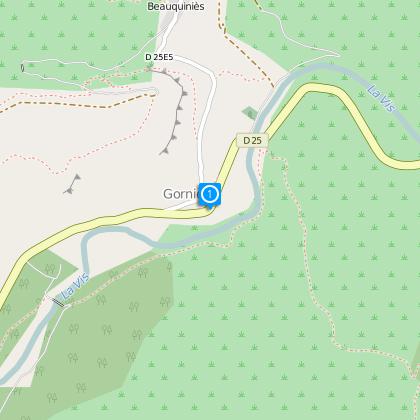
Starting point
34190
Gorniès
Lat : 43.8883293Lng : 3.6241629
Steps
Additional information
TO SEE
- The 11th century Notre-Dame Church.
- The old medieval bridge, built at a narrow section of the River Vis.
- The Vis Gorges and cliffs.
- The ruins of a mill on the River Vis.
- The botanical discovery trail.
Data author

proposed by
Office de tourisme Sud Cévennes
Ratings and reviews
To see around