Alert
Alerts
LES CHEMINS DE LA LIBERTÉ : DE SALÉCHAN À LES
Description
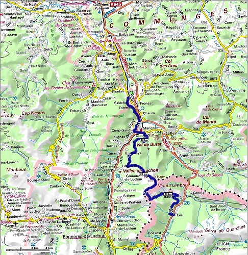
From the villages of the Garonne Valley to the ridges overlooking the Val d’Aran, the Path of Liberty combines mountain walking with the history of the routes to Spain. On the first day, the route gradually leaves the inhabited areas behind, passing along the ‘Chemin Pédagogique de la Liberté’ and the chapel at Soueste, before heading through the forest to the Planet hut. The following day, the route climbs towards the Pic de Bacanère before crossing the border, then descends through the mountain pastures towards the Aranese villages of Bausen and Les.
This two-day trek is aimed at experienced walkers. Its long ascent, ridge walk and descent into the Val d’Aran require a good level of fitness, self-reliance and careful preparation.
This route can be split into two days of hiking.
Day 1: Set off from Saléchan station to the Planet hut (hut open, capacity 4 people).
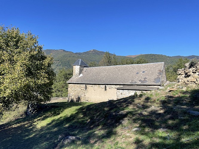
The first day involves a gradual ascent from the Garonne valley towards the first wide-open high-altitude landscapes, passing through the villages of Cierp Gaud, Marignac and the stunning setting of the Soueste Chapel.
Not to be missed: Lake Cierp, the first views of the Pic du Gar, the ‘Sentiers de la Liberté’ educational trail, the Soueste Chapel, the ridge walk to Taons de Bacanère…
Day 2: from the Planet hut to Les. The second day takes you to the Taons de Bacanère Pass, a symbolic turning point towards Spain, then descends towards Bausen and Les. This section of the route strongly emphasises the historical significance of the path: crossing the border did not always mean immediate freedom, as some escapees were still arrested on their descent towards the Val d’Aran.
Not to be missed: the panoramic views from the ridges of Le Burat and the Pic de Bacanère, crossing the border at the Col des Taons de Bacanère, the succession of high-altitude landscapes and the Aranese villages of Bausen and Les.
To enjoy a peaceful walk and discover the local flora and fauna, a mountain guide can accompany you on your hike: www.pyrenees31.com/randonnees
Technical Information
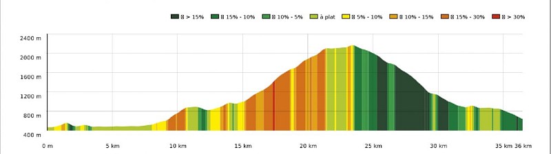
Altimetric profile
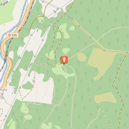
Starting point
Additional information
Elevation gain
2456 (High)
Dates
From 2026-06-01T00:00:00 From 2026-10-31T00:00:00
Services at the starting point
Car parking
End town
Les
Contact
Tel : 05 61 79 21 21
Email : info@pyrenees31.com
Start town
SALECHAN
Data producer
Contact : OFFICE DE TOURISME PYRENEES 31 / OFFICE DE TOURISME PYRÉNÉES 31
Phone : 05 61 79 21 21
This information comes from the Haute-Garonne Departmental Tourism Network and is synchronized as part of the partnership between Cirkwi and Haute-Garonne Tourisme.
Data author
