Alert
Alerts
Les Hauts de Saint-Baudille trail
Description
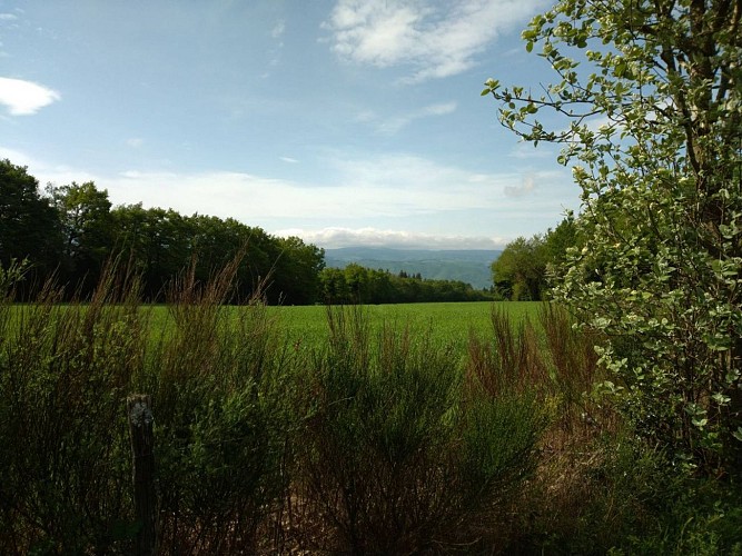
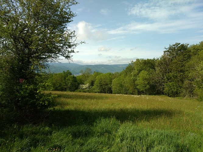
Vast pastures and secret valleys...
The rural roads, once very busy on foot or by wagon, connected the hamlets and the cultivated plots. Today devoted to hiking, they benefit from preservation measures.
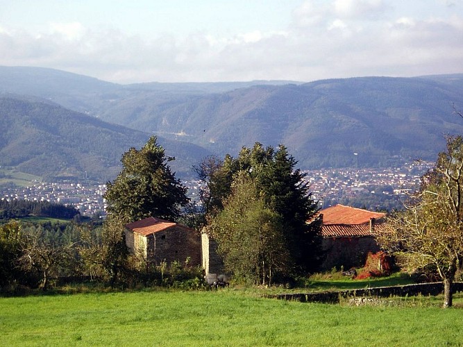
In the heart of a varied landscape, composed of vast pastures and coniferous forests, old stone roads lead to large farms (borio) in gneiss stones. The vast plateau is crisscrossed by secret valleys, such as the Doul whose clear basins lined with rocks host crayfish and trout.
Technical Information
Altimetric profile
Starting point
Additional information
Updated by
Tarn Attractivité - 05/10/2026
www.tourisme-tarn.com
Report a problem
Open period
From 01/01 to 31/12.
Contact
Phone : 05 63 61 27 07
Website : https://www.tourisme-castresmazamet.com
Location complements
Departure : Parking in hamlet of Marican.
Arrival : Same place as the departure.
Road access : From Pont de l'Arn, take the D54 towards "Le Vintrou". After 5 km, turn left towards "Marican", "Mas de la Borie". Park in the indicated location (sign)..
Parking recommended : Parking Marican .
Reception complements
>>>> RECOMMANDATIONS
Hiking is also providing suitable equipment (shoes, clothes, water...) and respect the environment of the trail
Guidebook with maps/step-by-step
From the car park, continue the tar for 50m then take the forest track that goes up in front, before the hamlet of Marican. Follow the trail between planting softwood and grazing.
1. Continue on the paved road (straight ahead and right at the crossroads). Métairie d'Artigues: stone barn, slate cladding, remarkable lime trees.
2. At the Fontaine d'Artigues, take a gravelled forest track on the left, pass the Doul stream, beautiful pine and Douglas forest. You reach a rural path lined with holly and oak trees. View of the Black Mountain.
3. Cross Frégefont, going down the 19th century farm, the path passes a calvary, then descends to the left towards a wooded valley (stony rural road). Small bridge over the Doul stream, cascadelles, basins and rocks (431 m).
4. The rural road joins the tar, continue straight then uphill (switchbacks) view of Montagne Noire, Mazamet.
5. At the crossroads (Mas de la Borie), continue straight on your right hand to return to Marican (departure).
Data author
