Alert
Alerts
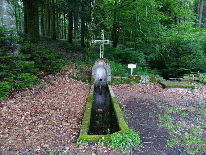
The fountain of Artigues trail
Description
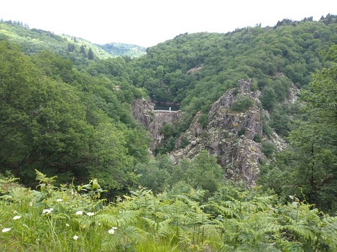
High forests on the edge of the Banquet, Le Vintrou benefited in the 1930s from the construction of the Saint Peyres dam. From the lake, located 5 km, the water is brought by forced pipes to the turbines of the power plant. With hydroelectricity, forestry
This route explores the heights of Pont de l'Arn. High forests enhance the scenery of hiking... Douglas fir trees more than 30m high raise their tops on the horizon of the plateau. Despite the importance of forestry, livestock farming is still very present on these heights: the vast pastures also benefit from the watered climate, sources of income for beautiful 19th century farms such as the Artigues farm. Finally, the hydroelectric works exploit the energetic rivers of Bouyssou and Arn.
Technical Information
Altimetric profile
Starting point
Additional information
Updated by
Tarn Attractivité - 05/10/2026
www.tourisme-tarn.com
Report a problem
Open period
From 01/01 to 31/12.
Contact
Phone : 05 63 61 27 07
Website : https://www.tourisme-castresmazamet.com
Location complements
Departure : Parking Marican, Le Vintrou.
Arrival : Same place as the departure.
Road access : From Pont de l'Arn, take the D54 direction «Le Vintrou». After 5 km, turn left «Marican». Parking indicated just before the hamlet (sign)..
Parking recommended : Parking Marican, Le Vintrou .
Reception complements
>>>> RECOMMANDATIONS
Hiking is also providing suitable equipment (shoes, clothes, water...) and respect the environment of the trail
Guidebook with maps/step-by-step
Departure: From the car park or sign take the forest track that goes up in front, 100 m before the hamlet of Marican.
1. Continue on the asphalt road, straight on, then right at the crossroads. Métairie d'Artigues.
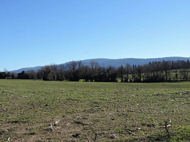
2. At the fountain of Artigues continue straight on the road, then turn right towards «le Ribec». Panorama on the Black Mountain.
3. Continue on the main track to the water treatment plant, skip the road and take a small path to the left that runs along the farmhouse «Sagne Croze» and descend.
4. On the right, short variant, on the left the path descends on a valley. Cross the stream, small stone bridge. Go up a valley, cross a penstock and then climb left towards the Vintrou.
5. At the cross, follow the red and white markings (GR36) to the right. The rural path descends on the side of hardwood.
6. After the cascadelles, follow the road to the right, overlooking the Banquet Gorge, the reservoir.
7. Leave GR36, follow straight on the tar and cross the Sarnarié farm. Take the D54 for 150 m then turn right towards Marican.
Data author
