Alert
Alerts
MTB route no.25 Le Bonnan
Description
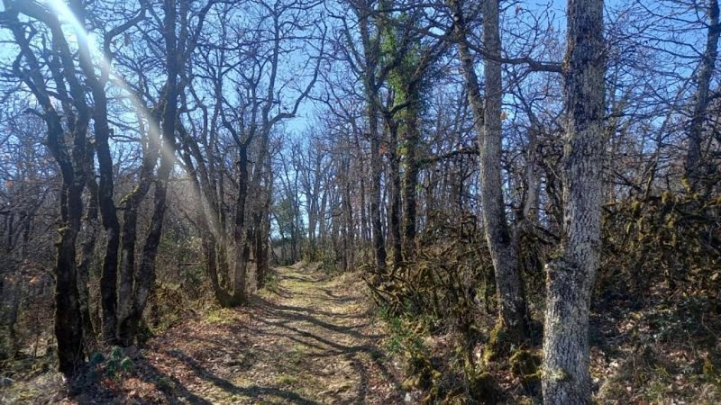
Smooth track and technical trail for a great hike.
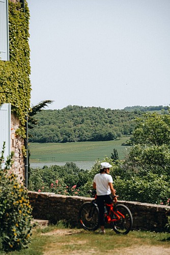
Starting from Roussayrolles, you will discover the water source of the "Mère de Dieu" fountain and the Grézelles forest, as well as beautiful panoramas from the heights of Marnaves.
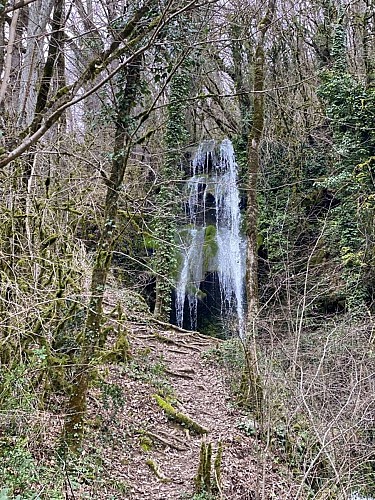
You will descend via the Causse trails to the village of Milhars, where you can eat or refresh yourself at the bar-restaurant "Le Repère" before heading towards the beautiful Bonnan Valley, a "Sensitive Natural Area" in the Tarn department. You can admire the magnificent petrified waterfall and its tufa formations before ascending a rocky path back to the village of Roussayrolles.
Technical Information
Altimetric profile
Starting point
Steps
Additional information
Updated by
Tarn Attractivité - 16/09/2026
www.tourisme-tarn.com
Report a problem
Location complements
Departure : The Coustou parking in Roussayrolles..
Arrival : Same place as the start.
Road access : 15 km west of Cordes via the D600 to Vindrac, then head towards Tonnac-Vaour on the D91. After passing Tonnac, turn left towards Roussayrolles on a small road.
30 km north of Gaillac via Vaour or Tonnac..
Parking recommended : Parking at Coustou at the village entrance. .
Open period
From 01/01 to 31/12.
Contact
Phone : 08 05 40 08 28
Website : https://www.la-toscane-occitane.com/
Guidebook with maps/step-by-step
From the Coustou parking lot, take the path leading to the "Mère de Dieu" spring before crossing the Grézelles forest and emerging onto the Pech de Marnaves.
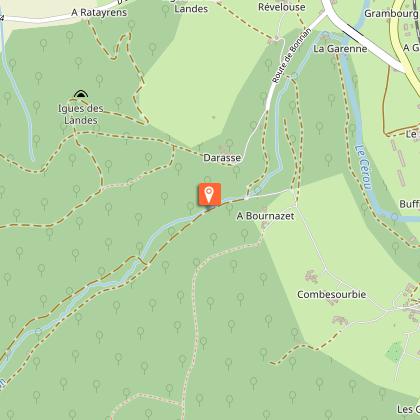
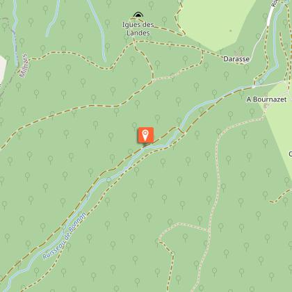
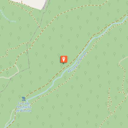
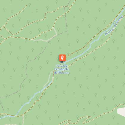
Descend towards Milhars via the trails. In the village, follow the path that runs alongside the Cérou to the La Garenne mill before ascending through the Bonnan Valley. Follow the Bonnan stream, and you will see the tufa waterfall on your right.
Next, ascend the path to the place called "Fourcou." Turn right towards the Pas de la Clède and climb back to Roussayrolles via a rocky path. Finally, return to the village, passing the small cross of Nougayrols and the Foun Naouto crossroads with its stone picnic table and weeping willow.
Data author
