Alert
Alerts
The Roman Road
Description
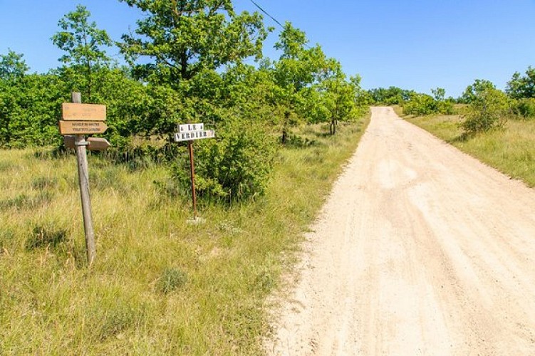
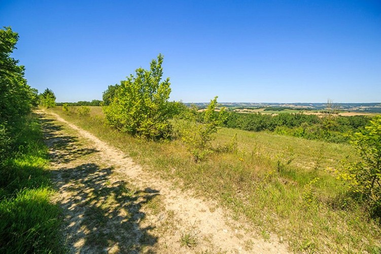
Between Lavaur and Puylaurens, the Roman road winds along the ridges of the hills, offering a scenic journey through the “Cocagne” region, the land of pastel.
Cocagne: The “Blue Gold” of the Land of Cocagne
A cruciferous plant with yellow flowers, pastel owes the fame of its name to a process used to produce a blue dye. This name is closely linked to that of Cocagne, which has captured the imagination ever since Rabelais. “The Land of Cocagne, where everything is found in abundance,” says the Académie Française… In the Middle Ages, in the southern Tarn region, woad was cultivated, harvested, and processed into “cocagnes,” then into “agranats,” solely for the purpose of dyeing. It is a patient and meticulous three-week process that involves shaping by hand—from the drained, very homogeneous pastel pulp—a more or less spherical ball ranging in size from an apple to a small melon. This is the “coque” or “cocagne.” No fairy-tale fantasy! Or perhaps… For the “cocagne” becomes “agranat”—the finished form of the dye material—which its producers and processors sell for a fortune. In 1560, the arrival of indigo from the East marked the end of this “golden age of pastel,” a veritable land of plenty for the vast Toulouse region.
In the Land of Cocagne
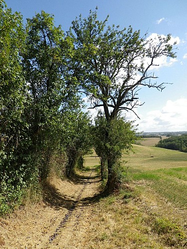
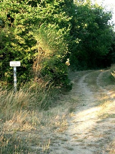
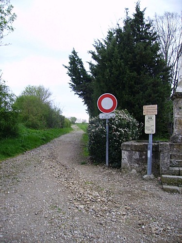
The shades of ochre and beige that color the plowed fields are a prelude to the monochromatic hues of the corn, wheat, and sunflower fields. Winding through mounds and rolling hills, the path seems to float, offering sweeping views of the gentle contours of the Montagne Noire or the pristine ridges of the Pyrenees. All around, charming farmhouses nestle against the hillsides—here, a dovecote or a chapel flanked by ancient cypress trees; there, a castle crowned with century-old oaks. Along the edges of the clay path dotted with orchids, clusters of broom, juniper, and a few holm oaks evoke a Mediterranean atmosphere. Occasionally, just a few steps away, a small limestone plateau with fragrant meadows basks in the sun…
Sturdy Roads
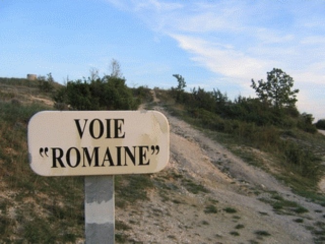
The network of Roman roads in Gaul, begun under Agrippa and continued through the 1950s under Claudius, was the subject of constant maintenance and periodic restoration efforts. Military mobility, as well as economic development, relied on them just as much as on waterways and maritime routes. Road documents dating from the 3rd century provide a theoretical account of their condition. Today, well-preserved and traditionally known sections of these routes, bridges that still stand, engraved milestones, and other features make it possible to map out the bulk of what was once an extraordinary road network. These Roman roads continue to spark interest. The hiker is well aware of this, following in the footsteps of travelers whose earliest predecessors span two thousand years of history (and stories). That’s quite something! Not only does it spark the imagination, but it also speaks to road engineering: a meter-thick layer of pebbles, stones, and compacted earth beneath a curved pavement designed to drain rainwater.
Technical Information
Altimetric profile
Starting point
Additional information
Updated by
Tarn Attractivité - 12/08/2026
www.tourisme-tarn.com
Report a problem
Environments
In the country
Less than 10 minutes from a train station by car
30 - 40 min from a train station by bike
30 - 40 min from an SNCF station by electric bike
Distinctions
Listed PDIPR
Open period
All year round daily.
Topo guides and map references
Topo guides references :
PR54 - "Le Tarn à Pied" hiking guidebook, available for purchase at the Espace des Destinations Tarnaises et de la Randonnée, 14 rue Timbal, 81000 Albi.
Contact
Phone : 05 63 47 73 06
Email : tarn@ffrandonnee.fr
Website :
http://www.randonnee-tarn.com
https://www.tourisme-tarn.com/a-voir-a-faire/balades-et-randonnees/trouver-une-randonnee
Location complements
Parking: • Puylaurens (start): Place du Ravelin, in the center of the village • Lavaur (finish): Saint-Roch Bridge • Massac-Séran (intermediate): village entrance
Animals
Yes. Pets are allowed only on a leash.
Data author
