Alert
Alerts
Type of practice
Walking
Medium
2h20mn
Snowshoeing
Medium
2h20mn
Presentation
Description
Map
Ratings and reviews
See around
Snowshoes itinerary: La Cry - Christomet
IGN cards

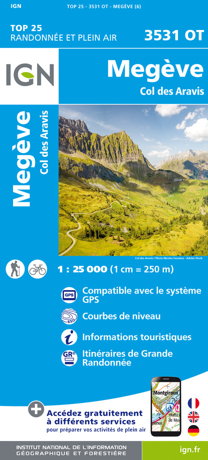
3531OTR - MEGEVE RESISTANTE COL DES ARAVIS
Editor : IGN
Collection : TOP 25 RÉSISTANTE
Scale : 1:25 000
17.20€

3430ETR - LA CLUSAZ RESISTANTE LE GRAND-BORNAND
Editor : IGN
Collection : TOP 25 RÉSISTANTE
Scale : 1:25 000
17.20€

3531OT - MEGEVE COL DES ARAVIS
Editor : IGN
Collection : TOP 25 ET SÉRIE BLEUE
Scale : 1:25 000
13.90€

3430ET - LA CLUSAZ LE GRAND-BORNAND
Editor : IGN
Collection : TOP 25 ET SÉRIE BLEUE
Scale : 1:25 000
13.90€

TOP75004 - BEAUFORTAIN MASSIF DU MONT BLANC
Editor : IGN
Collection : TOP 75
Scale : 1:75 000
9.80€

TOP75032 - CHAINE DES ARAVIS - MASSIF DES BAUGES
Editor : IGN
Collection : TOP 75
Scale : 1:75 000
9.80€

TOP100D73 - SAVOIE CHAMBÉRY ALBERTVILLE PARC NATIONAL DE LA VANOISE PNR DU MASSIF DES BAUGES
Editor : IGN
Collection : TOP 100
Scale : 1:100 000
8.40€

TOP100D74 - HAUTE-SAVOIE ANNECY THONON-LES-BAINS MASSIF DU MONT BLANC CHAÎNE DES ARAVIS
Editor : IGN
Collection : TOP 100
Scale : 1:100 000
8.40€

202 JURA ALPES DU NORD
Editor : IGN
Collection : TOP 200
Scale : 1:200 000
6.80€

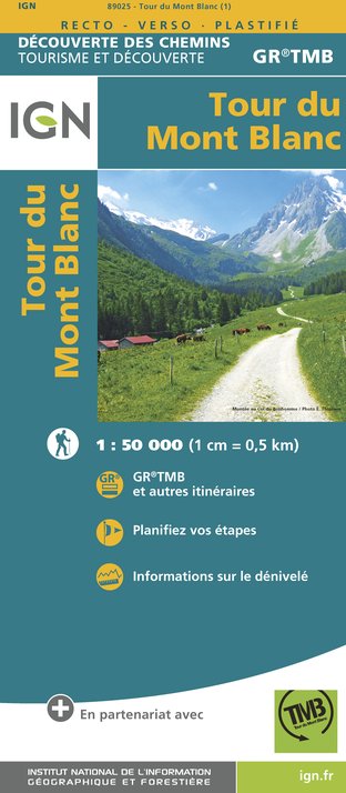
89025 - TOUR DU MONT-BLANC GR TMB®
Editor : IGN
Collection : DECOUVERTE DES CHEMINS
Scale : 1:50 000
9.10€

D38 ISÈRE
Editor : IGN
Collection : CARTES DÉPARTEMENTALES IGN
Scale : 1:150 000
5.90€

NR15 AUVERGNE-RHÔNE-ALPES RECTO/VERSO MASSIF ALPIN
Editor : IGN
Collection : CARTES RÉGIONALES IGN
Scale : 1:250 000
6.80€

NR14 AUVERGNE-RHÔNE-ALPES RECTO/VERSO MASSIF CENTRAL
Editor : IGN
Collection : CARTES RÉGIONALES IGN
Scale : 1:250 000
6.80€

SUISSE
Editor : IGN
Collection : DÉCOUVERTE DES PAYS DU MONDE IGN
Scale : 1:303 000
7.00€

EUROPE
Editor : IGN
Collection : DÉCOUVERTE DES PAYS DU MONDE IGN
Scale : 1:2 500 000
7.00€
Description
Itinerary in forest and through alpine pastures, with a panoramic view of Mont-Blanc, the Aravis massif and the Aiguilles de Varens.
Technical Information
Walking
Difficulty
Medium
Duration
2h20mn
Dist.
8.5 km
Type of practice
Walking
Medium
2h20mn
Snowshoeing
Medium
2h20mn
Show more
Altimetric profile
Starting point
2802
2696 Route de la Cry Cuchet
,
74920
Combloux
Lat : 45.892465Lng : 6.625496
Date and time
- From 22/12/2025 to 31/03/2026
- From 22/12/2026 to 31/03/2027
Additional information
Updated by
Office de Tourisme de Combloux - 11/07/2025
combloux.com/
Report a problem
Open period
From 22/12 to 31/03.
Subject to snow conditions.
Contact
Phone : 04 50 58 60 49
Website : combloux.com/
Type of land
Groomed trail
Animals
Yes
Data author

proposed by
Office du Tourisme de Combloux
Ratings and reviews
To see around