Alert
Alerts
Type of practice
Walking
Very easy
Mountainbiking
Very easy
Riding
Very easy
Presentation
Description
Map
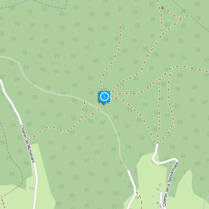
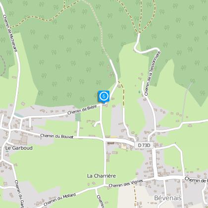
Steps
Ratings and reviews
See around
Bévenais : Chapel of Salette
Description
Distance : 6 km
Duration : 2h20
Difference in height : 265 m
Technical Information
Walking
Difficulty
Very easy
Dist.
5.9 km
Type of practice
Walking
Very easy
Mountainbiking
Very easy
Riding
Very easy
Show more
Altimetric profile
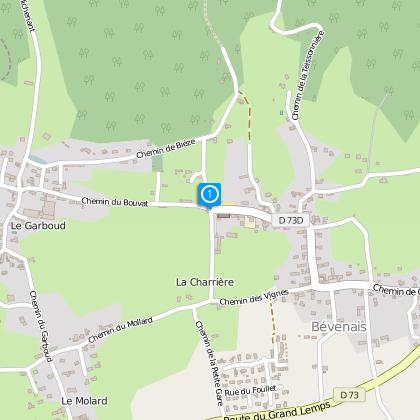
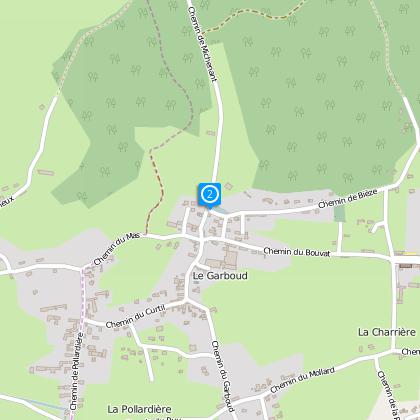
Starting point
38690
Bévenais
Lat : 45.39894Lng : 5.38554
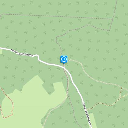
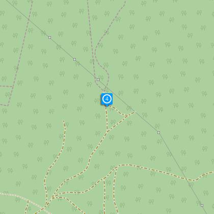
Steps
Data author

proposed by
Office de Tourisme Terres de Berlioz
40 place du maquis de Chambaran 38940 ROYBON France
Ratings and reviews
To see around