Alert
Alerts
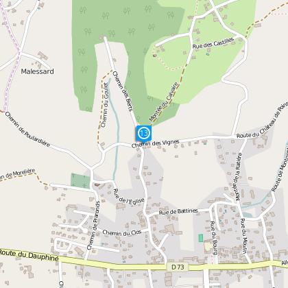
Gillonnay
Description
Duration : 4h15
Distance : 11,9 km
Difference in height : 426 m
Level : Medium
Technical Information
Altimetric profile
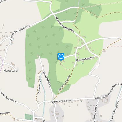
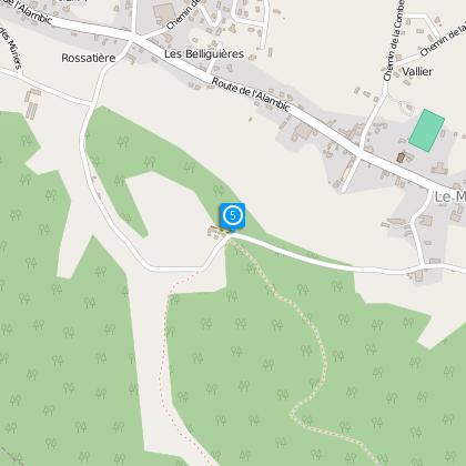
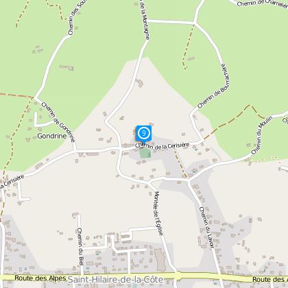
Starting point
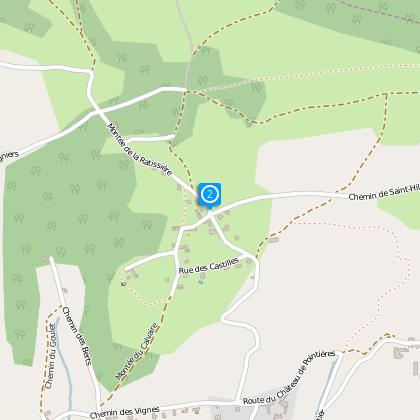
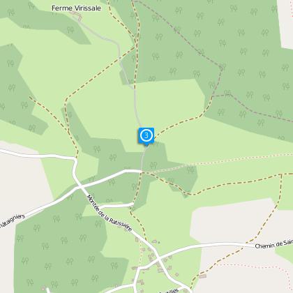
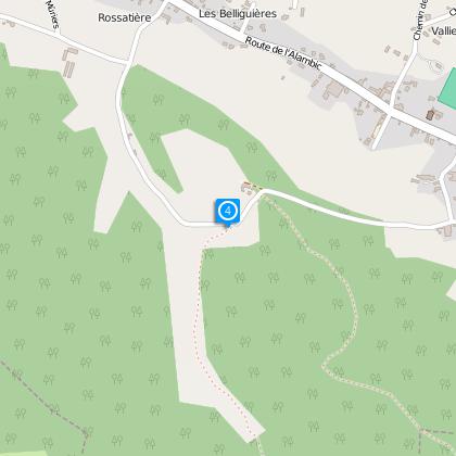
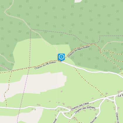
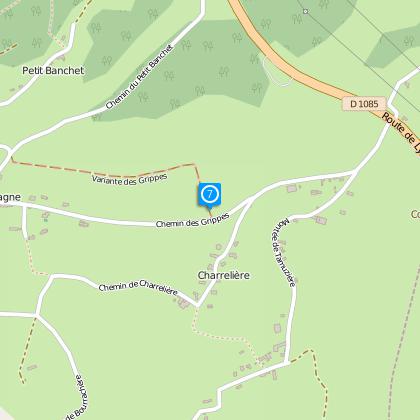
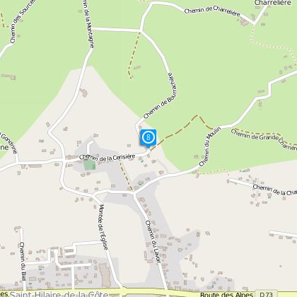
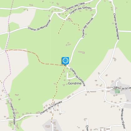
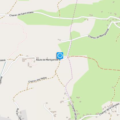
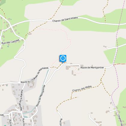
Steps
Data author

The Cirkwi brief
Immerse yourself in the serene charm of Gillonnay's countryside as you venture through the undulating trails leading to the evocative ruins of Bocsozel Castle, offered by the dedicated Office de Tourisme Terres de Berlioz. This enchanting journey weaves through verdant forests and rolling hillsides, revealing breathtaking panoramas of the alpine vistas beyond. Feel the echoes of medieval times as the landscape unfolds its story, guiding adventurers and nature lovers through a harmonious blend of natural beauty and historical whisperings.
Detailed Itinerary Technicalities
This 11.9 km trail marked for hiking spans a net ascent of 426 meters, positioning it at a moderate difficulty level. The route commences from an altitude of 424 meters, reaching its zenith at 640 meters. The calculated positive elevation gain oscillates between 451 to 450 meters, indicating a strenuous yet rewarding challenge for participants. This detailed acknowledgment of the trail's physical demands enables a clear understanding of the commitment required, spotlighting its suitability for those with a fair level of fitness and endurance.
Seasonal Tips and Safety Advice
Embarking on this scenic journey demands preparation and mindfulness, irrespective of the season. During the warmer months, ensure hydration and sun protection, while winter voyages may require layered attire and potentially, ice grips for shoes. The trail, versatile in its year-round appeal, exposes walkers to varying climatic conditions. Always consult weather forecasts prior to departure, and carry a map and compass for navigation should electronic devices fail. Emphasize leaving no trace to preserve the pristine nature of Gillonnay's countryside for future generations.
Embrace Gillonnay's Rich Heritage
Gillonay, nestled within the Isère department, lies at the heart of a region steeped in historical significance, amid the broader tapestry of France's Auvergne-Rhône-Alpes. The remnants of Bocsozel Castle serve as a poignant reminder of the area's medieval past, offering a tangible link to the labyrinth of tales that have shaped this land. The diverse landscape serves not only as a backdrop for hikers but as a chronicler of epochs, from the strategic importance of such ruins to the agriculture that defines the local economy and culture.
Climate Insights for Optimal Visitation
The regional climate of Gillonnay presents a temperate profile, characterized by distinct seasonal changes. Winter months may display cooler temperatures and occasional snowfall, enriching the trail's magical allure. Contrastingly, summers bring warmth and verdant landscapes to life, making it an ideal season for hiking enthusiasts. Spring and autumn offer milder temperatures and less crowded trails. For an optimal experience, April to October provides the most favorable weather conditions, aiding in the full appreciation of this scenic journey's allure.