Alert
Alerts
Valorgues Trail
Description
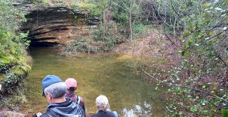
The Valorgues Cave is a natural resurgence; during heavy rains, water gushes forth from deep within the earth.
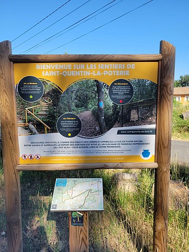
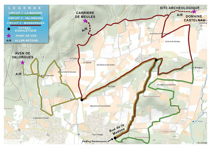
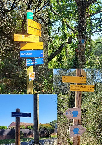
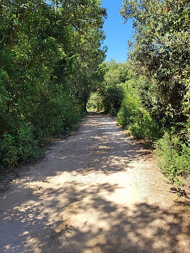
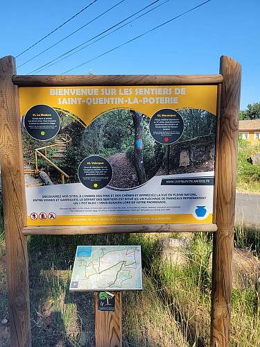
The route starts from the free parking lot on Rue de la Madone. Throughout the route, follow the signs marked with a blue vase.
As you leave the parking lot, take the street on the right. At the first fork, continue left, staying on Rue de la Madone.
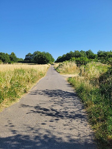
When you reach Chemin de Vallabrix, turn right, then immediately take the first path on the left (Chemin de Gresse). Follow this paved road for about 600 meters.
At the next intersection, turn left and continue for 1.6 km until you reach Route de Saint-Laurent-la-Vernède. Turn right, then take Chemin des Bougnettes on your left.
Continue for 100 meters. At the first fork, keep to the right. At the next fork, turn left onto Chemin de la Jasse and continue for 100 meters, then take the dirt path on the left.
Follow this path for 400 meters to the intersection, then take the path on the right toward Chemin de Fontarèches.
Continue for 300 meters before turning right onto a dirt path. Continue for 650 meters, then turn left toward the Aven de Valorgues.
At the next fork, you can take a round trip to explore the Aven de Valorgues by following the “A/R” signs. To continue on the main route, take the path on the right toward La Vourneze.
Follow this path for 450 meters, then turn left at the second path and continue for 450 meters. Next, turn right and continue for 500 meters until you reach Chemin de la Vourneze.
Take this path on the right and continue for 450 meters until you reach the Chemin des Bougnettes on your left. Turn onto it and continue for 100 meters.
Then reach the Route de Saint-Laurent-la-Vernède. Turn right, then take the Chemin de Roquesis on the left. Finally, take the first dirt path on the left and continue for 1.5 km.
At the fork, rejoin the route you took on the way there. The return to the parking lot follows the same path, following the trail markers in the opposite direction back to the starting point.
Technical Information
Altimetric profile
Starting point
Points of interest

Additional information
Updated by
Destination Pays d'Uzès Pont du Gard - 27/07/2026
Collaboration with Département du Gard
www.uzes-pontdugard.com
Report a problem
Environments
In the country
Open period
All year round daily.
Contact
Phone : 04 66 22 15 71
Email : mairie@saintquentinlapoterie.fr
Website : http://saintquentinlapoterie.fr/
Type of land
Ground
Hard coating (tar, cement, flooring)
Topo guides and map references
Map references :
This walking tour was created by the Saint-Quentin-la-Poterie City Hall.
The complete booklet, containing all the explanations, is available for download in PDF format via the button provided on the page.
Animals
Yes
