Alert
Alerts
Lake and Woodland
Description
A loop trail through the Livradois-Forez region, with its rolling, wooded landscapes. After a long stretch through the woods, dotted with meadows and scenic overlooks, the trail returns to the shore of Lake Aubusson, a favorite habitat of the otter, a species that is now protected.
Technical Information
Altimetric profile
Starting point
Steps
Additional information
Tips
- Lake Aubusson.
- View of the Chaîne des Puys.
- Rolling landscapes and a path through the woods.
Updated by
Conseil départemental du Puy-de-Dôme - 12/10/2026
www.puydedome-tourisme.com/
Report a problem
Environments
In the country
Forest location
Distinctions
Listed PDIPR
Open period
From 01/01 to 31/12 daily.
Subject to favorable weather.
Location complements
From Courpière, take the D7 toward Vollore-ville. After 4 km, turn right onto the D311 toward Aubusson-d'Auvergne. In the town of Aubusson-d'Auvergne, turn right onto the road leading to the lake.
Topo guides and map references
Topo guides references :
© 2015 - Hiking Along the Waterways - Discovering the Puy-de-Dôme - Puy-de-Dôme Departmental Council
Reception complements
For your safety, always bring a bottle of water, a hat, warm and rainproof clothing, and wear shoes suitable for walking.
Depending on weather conditions, some trails are not recommended in bad weather (fog) or are impassable—or even off-limits—during the winter season.
Some sites are fragile; please stay on the marked trails. Avoid picking wildflowers and disturbing wildlife. Pick up your trash.
On certain trails, animals are not allowed.
Guidebook with maps/step-by-step
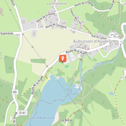
1/ Park in the lake parking lot, across from the large building. Head toward the playground, cross it to reach the enameled lava signpost for the Saute-Ruisseau trail. Take the trail on the left and continue to the bridge. 30 m past the third bridge, turn left and head up into the woods.
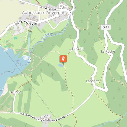
2/ At the pond, turn right. At the iron cross, continue straight ahead on the gravel path. In the woods, follow this same path for about 500 m.
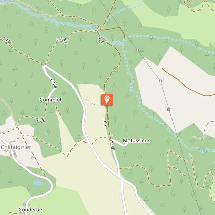
3/ Just past the first meadow, turn right onto a grassy path. Walk about 100 m until you reach the
paved road, then turn right (view of the Chaîne des Puys). After 250 m, at the curve, continue straight ahead on the dirt path. Keep going down the same path, and when you see the lake, continue on the
gravel path that leads downhill. At the intersection by the lake, take the path on the left.
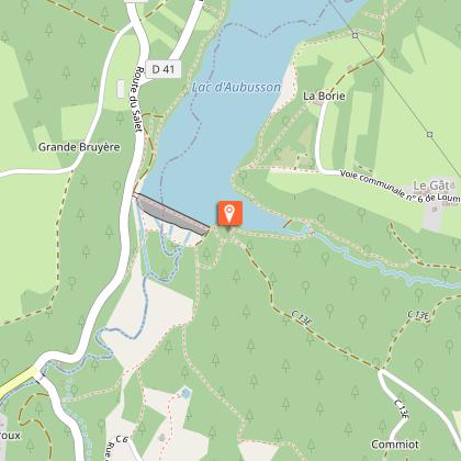
4/ At the low concrete wall bordering the lake, turn right. Walk along the lake, crossing the dam, then turn right. At the next intersection, near a wooden bench, turn right again. Continue along the same path, and when it ends, head down to the beach to reach the lake’s parking lot.
Animals
Yes. Dogs must be kept on a leash due to the presence of livestock.
Data author
