Alert
Alerts
Vallons et forêts
Description
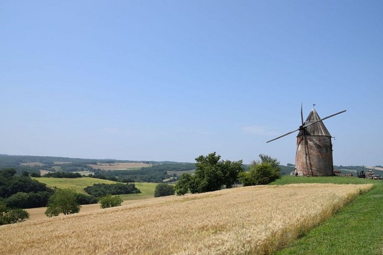
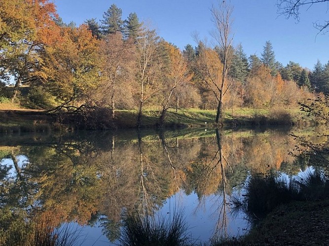
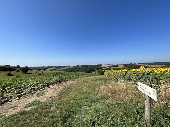
In the heart of the RabastinoisFrom the peaceful shores of the Lac des Auzerals to the hillsides offering panoramic views, this demanding loop reveals a patchwork of landscapes where wilderness and cultivated land blend harmoniously. Punctuated by heritage treasures such as the old Moulin de la Prune (Plum Mill) and picturesque villages, this hike promises total immersion in the authenticity of the Tarn.
Go to the end of the lake on the right, take the path on the left and go up along the edge of the forest. At the road, go opposite towards Impasse de la Prune, head towards the old mill, turn left at the hangar and right at the path that goes down through the meadow to the road. Turn left, cross the D2 and take the path opposite, climb through the woods, then go past a farm on the left and continue until you reach a small road. Turn left and follow it for 300m.
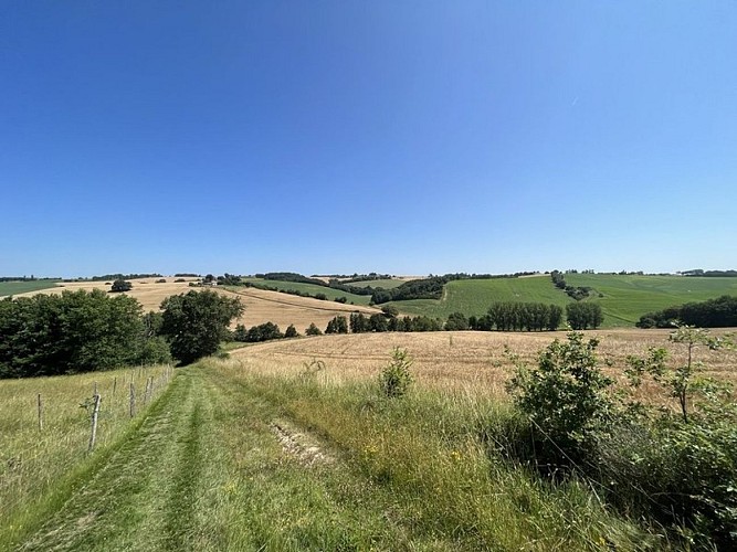
Turn left onto the path that descends between the fields. At the bottom, turn left for 100m, then turn right, turn left to walk along the undergrowth and go back up through the fields on the other side, arriving at the road on the heights of Grazac, and crossing it. Take the path opposite to go back down, turn right at the stream, cross it further on and go back up to a stony path. Turn left and continue along this path until you reach the road.
Head towards Réal, turn left at the church, leave the road and follow the path straight ahead until you reach Roquemaure.
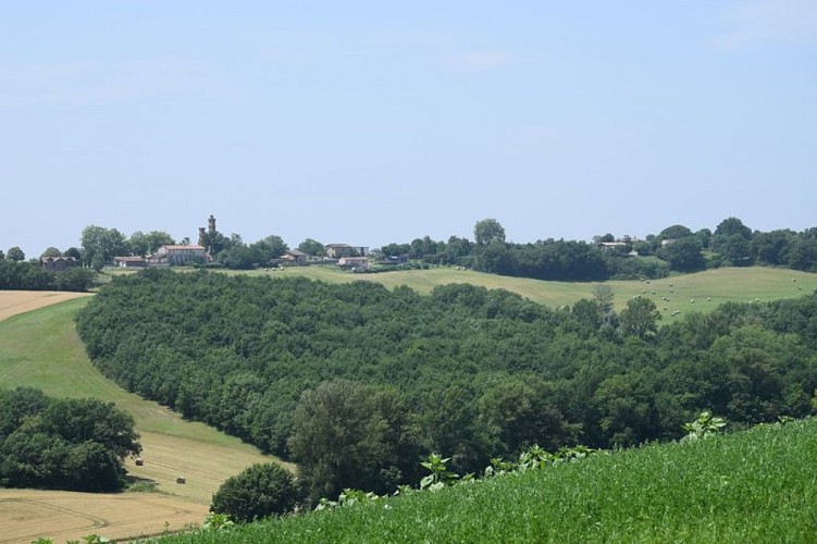
In Roquemaure, go past the church then turn right at the fork. Take care on the D18. After 50 metres, turn left, then right and take the path opposite. Turn left at the edge of the woods and head downhill. Skip the stream, go up a little and turn right to go back down towards the stream, follow it for 150m and go back up through woods and fields and come out at the top of the hill from where you can see the surrounding area. Follow the path, go past a house called Font Jean and at the end of it turn right then left into the woods. At the fork, turn left and follow the path straight ahead, descending towards Mézens.
At the road, turn right, go straight ahead at the stop sign and turn opposite to descend towards the stream. Cross the bridge, go up the hill, turn right and then left at the intersection with the GR46, which you will follow until Rabastens. Continue on the path until you reach the road. Follow this road for 400m, turn right onto the path for 150m and then rejoin the road for just under 2km.
Before the chapel of Puycheval, leave the road, turn left onto the path that runs alongside fields and then forks from right to left before reaching a wood. Cross it and head up towards the vineyards, passing through the Mas de Grouze estate. Continue along the road and take the first path on the left. You will leave the GR46 to follow the Lac des Auzerals trail. Cross the D18 and take the path on the right that goes uphill. At the top, cross opposite and at the end of the oak-lined path, turn right onto the road towards the church of Guidal. Turn left at the road, then left again at the junction with the D12, then turn right and go up the hill after the bend towards Les Auzerals. Continue until you reach the junction where you started, turn right and go down towards the lake, and complete the loop by turning right.
Technical Information
Altimetric profile
Starting point
Additional information
Public transport
By bus: liO Autocar, line 702.Departing from Lavaur or Albi.More information on lio-occitanieBy train: Rabastens - Couffouleux SNCF station.Departing from Toulouse, Saint-Sulpice-la-Pointe, Albi, Rodez.More information on SNCF
Labellisé FFRandonnée® Tarn
Cet itinéraire est labellisé FFRandonnée®. Il fait partie du réseau tarnais de chemins validé et reconnu par la Fédération Française de la Randonnée et les partenaires du Tarn comme de qualité supérieure.
Advised parking
Lac des Auzerals car park
Access
Rabastens, 35 km west of Albi, direction Toulouse via the N88 or the A68.
Arrival
Same place as start
Ambiance
In the heart of the Rabastinois, the ‘Vallons et Forêts’ trail is a 30 km loop offering total immersion in the diversity of the Tarn landscapes. Starting from the peaceful Lac des Auzerals, this hike guides you through a kaleidoscope of striking panoramas. You will wind your way through shady forests and green fields, discovering the old Moulin de la Prune (Prune Mill) along the way, a testament to the rich local heritage. The path will take you from the heights of Grazac through the picturesque villages of Roquemaure and Mézens. This demanding hike rewards every effort with a wealth of natural and cultural discoveries, such as the chapel of Puycheval or the church of Guidal.
Departure
Car park at the Lac des Auzerals, Rabastens
Data author
